Browse / United States / Alaska / Seward
Seward
Alaskacity

Seward
Total population
2,794
Median home value
$338,100
Bachelor's+
Median income
$85,481
Founded
1903
Demographic figures from US Census Bureau · ACS 5-year estimates. Overview below cites Wikipedia and may reference a different year.
City facts
Sister cities
Facts from Wikidata (CC0).
Overview
Seward is an incorporated home rule city in Alaska, United States. Located on Resurrection Bay, a fjord of the Gulf of Alaska on the Kenai Peninsula, Seward is situated on Alaska's southern coast, approximately 120 miles (190 km) by road from Alaska's largest city, Anchorage.
Read more on WikipediaHistory & geography
History
In 1793, Alexander Baranov of the Shelikhov-Golikov company (precursor of the Russian-American Company) established a fur trade post on Resurrection Bay where Seward is today and had a three-masted vessel, the Phoenix, built at the post by James Shields, an English shipwright in Russian service. The 1939 Slattery Report on Alaskan development identified the region as one of the areas where new settlements would be established through Jewish immigration. This plan was never implemented. Seward was an important port for the military buildup in Alaska during World War II. Fort Raymond was established in Seward along the Resurrection River to protect the community. An Army airfield built in Seward during the war later became Walseth Air Force Base. Both of the military facilities were closed shortly after the end of the war. A large portion of Seward was damaged by shaking and a local tsunami during the 1964 Alaska earthquake, destroying all evidence of one radio station. Seward borders the Kenai Fjords National Park, which was granted national park status in 1980 to protect the glaciers of the Harding Icefield. According to the United States Census Bureau, the city has a total area of , of which is land and (32.93%) is water. The northern city limits are demarcated by the lower reaches of the Resurrection River, but extend east past the river's mouth at the northern end of Resurrection Bay to include parts of the bay's extreme northeastern shore, including the beach at the mouth of Fourth of July Creek and the grounds of Spring Creek Correctional Center just inland. To the south, the city limits extend to the unincorporated community of Lowell Point, while the east and west sides of the city are constrained by Resurrection Bay and the steep slopes of Mount…
Excerpted from the corresponding Wikipedia article (CC BY-SA).
Demographics & economy
Race & ethnicity
Source: US Census Bureau — American Community Survey, 5-year estimates.
Geography
Coordinates & boundaries from the US Census TIGER/Line shapefiles.
Climate
Current forecast
Forecast for Seward, AK from NOAA NWS API.
Air quality
Industrial & pollution facilities
Natural hazard risk
Health (adults)
Age-adjusted prevalence estimates from CDC PLACES (latest release).
Walkability
Amenities nearby
Wildlife & biodiversity
Most-observed species
- Bald EagleHaliaeetus leucocephalus (Linnaeus, 1766) · Aves6,438
- Glaucous-winged GullLarus glaucescens J.F.Naumann, 1840 · Aves5,420
- American CrowCorvus brachyrhynchos C.L.Brehm, 1822 · Aves3,856
- Black-legged KittiwakeRissa tridactyla (Linnaeus, 1758) · Aves3,665
- Short-billed GullLarus brachyrhynchus Richardson, 1831 · Aves3,664
- Common RavenCorvus corax Linnaeus, 1758 · Aves3,487
- Black-billed MagpiePica hudsonia (Sabine, 1823) · Aves3,433
- American RobinTurdus migratorius Linnaeus, 1766 · Aves2,779
Citizen-science & research observations from the Global Biodiversity Information Facility (GBIF).
Schools
Largest nearby schools
- William H. Seward Elementary SchoolElementary · Seward · 235 students · 12.4:1 ratio
- Seward High SchoolHigh · Seward · 140 students · 15.6:1 ratio
- Seward Middle SchoolMiddle · Seward · 113 students · 14.1:1 ratio
Public K–12 schools within ~10 mi from Urban Institute Education Data Portal (NCES Common Core of Data, 2022).
Earthquake history
Most recent
- M 2.6 — 2026-09-1819 km N of Cooper Landing, Alaska
- M 2.5 — 2026-09-1618 km SE of Fox River, Alaska
- M 2.5 — 2026-09-1418 km N of Moose Pass, Alaska
- M 2.7 — 2026-09-1221 km SSW of Sunrise, Alaska
- M 2.7 — 2026-09-062 km SSW of Chenega, Alaska
- M 2.5 — 2026-08-272 km N of Sterling, Alaska
Events from the USGS Earthquake Catalog (global) (FDSN Event Web Service).
Photos
Sights & places nearby
Notable people from here


People born within ~10 km, from Wikidata (CC0). Click any name for their Wikipedia article.
Nearby places in Alaska
- Lowell Point4.9 mi away
- Bear Creek5.8 mi away · pop. 1,732
- Primrose15.3 mi away · pop. 89
- Crown Point20.9 mi away · pop. 65
- Moose Pass26.5 mi away · pop. 202
- Cooper Landing29.9 mi away · pop. 227
- Chenega48.2 mi away · pop. 37
- Whittier51.5 mi away · pop. 411
- Sunrise51.6 mi away · pop. 23
- Hope53.2 mi away
- Sterling56.2 mi away · pop. 6,323
- Fox River58.2 mi away · pop. 741
Geography & sun
Elevation, sunrise/sunset and daylight from Open-Meteo. Solar climatology from NASA POWER.
Nearby airports
Public attention
Pageview totals from the Wikimedia Pageviews API.
Books about Seward
Search results from Open Library.
Recent natural events nearby
Ground air-quality sensors
Recently spotted species
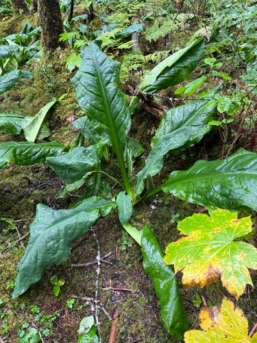
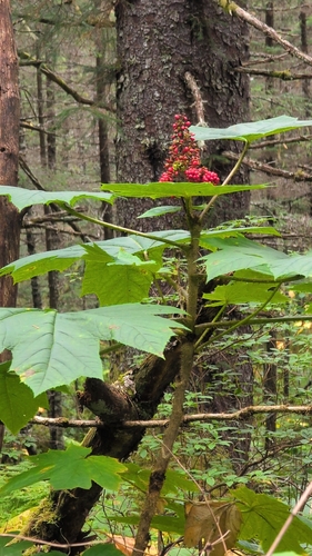
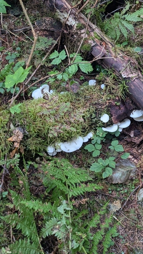
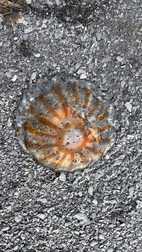
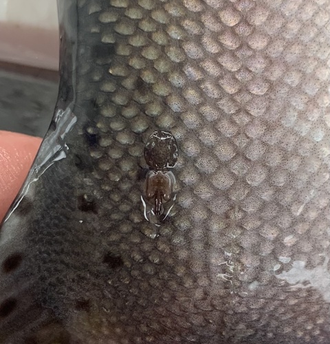
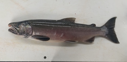
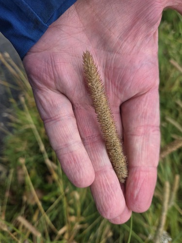
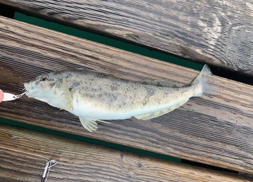
Research-grade observations from iNaturalist (within ~15 mi).
Nearest stream gauge
Live readings from USGS NWIS · measured 2026-10-05 16:20 UTC.
Events
Notable, recurring, and historical events associated with Seward, sourced from Wikidata.
Source: Wikidata (CC0).
Gallery
Sources
- • Wikipedia
- • US Census Bureau (ACS 5-year estimates)
- • NOAA National Weather Service
- • Wikidata
- • USGS Earthquake Catalog (global feed)
- • USGS NWIS (water data)
- • NCES via Urban Institute Education Data Portal
- • GBIF (Global Biodiversity Information Facility)
- • iNaturalist
- • CDC PLACES
- • Open-Meteo / sunrise-sunset.org
- • Wikipedia Pageviews API
- • Open Library