Browse / United States / Alaska / Chenega
Chenega
AlaskaCDP

Chenega
Total population
37
Median home value
$0
Bachelor's+
Median income
$0
Demographic figures from US Census Bureau · ACS 5-year estimates. Overview below cites Wikipedia and may reference a different year.
City facts
Facts from Wikidata (CC0).
Overview
Chenega is a census-designated place (CDP) on Evans Island in the Chugach Census Area in the U.S. state of Alaska. Located in Prince William Sound, the CDP consists of the Chugach Alutiiq village of Chenega Bay, which was established only after the Good Friday earthquake destroyed the original community on Chenega Island to the north. As of the 2020 census, the population of the CDP was 59, largely Alaska Natives; as of 2021, the population of Chenega is estimated at 49. Chenega Bay is in the Chugach School District and has one school, Chenega Bay Community School, serving approximately 16 students from preschool through high school.
Read more on WikipediaHistory & geography
History
The original village of Chenega, located on Chenega Island, was inhabited by the Chenega tribe, a subgroup of the Chugach Alutiiq. The name Chenega derives from "Beneath the Mountain". A post office operated there from 1946 until the destruction of the town in 1964. The original village of Chenega was destroyed in 1964 by a tsunami from the Good Friday earthquake, which killed 26 residents, a third of the 68 people who lived there at the time, and leveled all the buildings in the town except for the school and a single house. Immediately following the tsunami, survivors were taken to Cordova, and the Bureau of Indian Affairs later permanently resettled them at Tatitlek. After the Alaska Native Claims Settlement Act was passed, former residents of Chenega formed the Chenega Corporation, which acquired the right to select 76,093 acres of land near the site of the old Chenega Village Township. In 1977, following research into the landscape and the needs of villagers, a new town location was chosen at Crab Bay on Evans Island. Following the acquisition of funding for infrastructure, the new village, named Chenega Bay, was first occupied in 1984. Former and current Chenega residents gathered each Good Friday to remember the dead of Chenega. On the 25th Good Friday after the earthquake, in 1989, the oil tanker Exxon Valdez ran aground in Prince William Sound, causing an oil spill that again devastated Chenega and other places around the area economically.
Geography
Chenega is located at (60.066327, -148.010991). According to the United States Census Bureau, the CDP has a total area of , of which, of it is land and of it (1.17%) is water. The village location is isolated, only accessible by boat or by plane.
Excerpted from the corresponding Wikipedia article (CC BY-SA).
Demographics & economy
Race & ethnicity
Source: US Census Bureau — American Community Survey, 5-year estimates.
Geography
Coordinates & boundaries from the US Census TIGER/Line shapefiles.
Climate
Current forecast
Forecast for Chenega, AK from NOAA NWS API.
Air quality
Industrial & pollution facilities
Natural hazard risk
Health (adults)
Walkability
Amenities nearby
Wildlife & biodiversity
Most-observed species
- humpback whaleMegaptera novaeangliae (Borowski, 1781) · Mammalia80
- orcaOrcinus orca (Linnaeus, 1758) · Mammalia39
- Black-legged KittiwakeRissa tridactyla (Linnaeus, 1758) · Aves23
- Bald EagleHaliaeetus leucocephalus (Linnaeus, 1766) · Aves18
- Marbled MurreletBrachyramphus marmoratus (J.F.Gmelin, 1789) · Aves18
- Glaucous-winged GullLarus glaucescens J.F.Naumann, 1840 · Aves14
- Pigeon GuillemotCepphus columba Pallas, 1811 · Aves13
- American CrowCorvus brachyrhynchos C.L.Brehm, 1822 · Aves11
Citizen-science & research observations from the Global Biodiversity Information Facility (GBIF).
Schools
Earthquake history
Most recent
- M 3.2 — 2026-09-2057 km ENE of Chenega, Alaska
- M 2.5 — 2026-09-1418 km N of Moose Pass, Alaska
- M 2.7 — 2026-09-062 km SSW of Chenega, Alaska
- M 2.6 — 2026-08-2538 km NE of Chenega, Alaska
- M 2.7 — 2026-08-2539 km NE of Chenega, Alaska
- M 2.5 — 2026-08-1016 km SE of Lowell Point, Alaska
Events from the USGS Earthquake Catalog (global) (FDSN Event Web Service).
Photos
Sights & places nearby
Notable people from here
Nearby places in Alaska
- Primrose47.9 mi away · pop. 89
- Bear Creek48 mi away · pop. 1,732
- Seward48.2 mi away · pop. 2,794
- Lowell Point51.7 mi away
- Crown Point52 mi away · pop. 65
- Whittier52.6 mi away · pop. 411
- Moose Pass58 mi away · pop. 202
- Cooper Landing69.2 mi away · pop. 227
- Tatitlek71.5 mi away · pop. 20
- Sunrise73.5 mi away · pop. 23
- Hope78.2 mi away
- Cordova86 mi away · pop. 2,453
Geography & sun
Elevation, sunrise/sunset and daylight from Open-Meteo. Solar climatology from NASA POWER.
Nearby airports
Public attention
Pageview totals from the Wikimedia Pageviews API.
Books about Chenega
Search results from Open Library.
Recent natural events nearby
Ground air-quality sensors
Recently spotted species
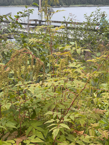
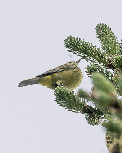
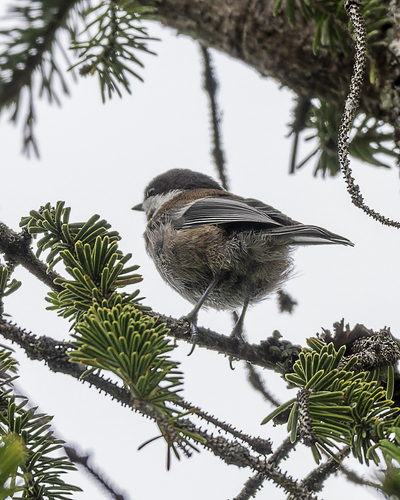
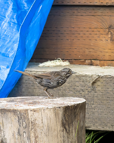
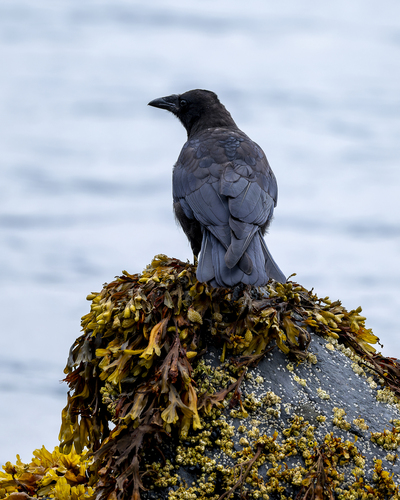
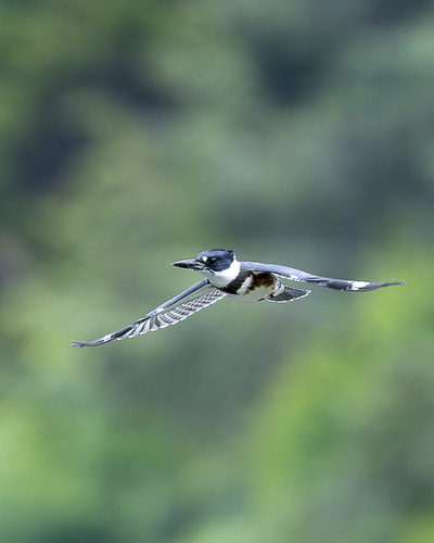
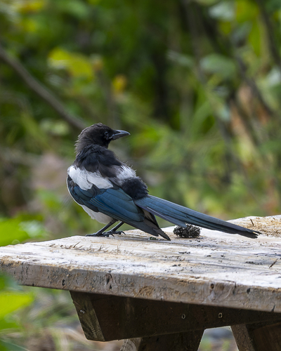
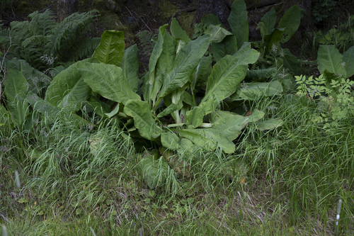
Research-grade observations from iNaturalist (within ~15 mi).
Nearest stream gauge
Live readings from USGS NWIS · measured 2026-10-09 22:00 UTC.
Events
Gallery
Sources
- • Wikipedia
- • US Census Bureau (ACS 5-year estimates)
- • NOAA National Weather Service
- • Wikidata
- • USGS Earthquake Catalog (global feed)
- • USGS NWIS (water data)
- • GBIF (Global Biodiversity Information Facility)
- • iNaturalist
- • Open-Meteo / sunrise-sunset.org
- • Wikipedia Pageviews API
- • Open Library