Browse / United States / Alaska / Cooper Landing
Cooper Landing
AlaskaCDP

Cooper Landing
Total population
227
Median home value
$428,000
Bachelor's+
Median income
$143,672
Demographic figures from US Census Bureau · ACS 5-year estimates. Overview below cites Wikipedia and may reference a different year.
City facts
Facts from Wikidata (CC0).
Overview
Cooper Landing is a census-designated place (CDP) in Kenai Peninsula Borough, Alaska, United States, about 100 miles (160 km) south of Anchorage, at the outlet of Kenai Lake into the Kenai River. The town was first settled in the 19th century by gold and mineral prospectors, and has become a popular summer tourist destination thanks to its scenic location and proximity to the salmon fishery of the Kenai River and Russian River. As of the 2020 census, Cooper Landing had a population of 344.
Read more on WikipediaHistory & geography
History
Cooper Landing was named for Joseph Cooper, a miner who discovered gold there in 1884. However, Peter Doroshin, a Russian engineer, had identified gold prospects as far back as 1848 when the territory was still part of Russian America. Cooper Creek was first recorded in 1898 by the U.S. Geological Survey. In 1900, the Census found 21 miners and 1 wife living at Cooper Creek. The Riddiford Post Office began operations in 1924, and the Riddiford School opened in 1928. In 1938, a road was constructed east to Seward. In 1948, a road west to Kenai was opened, and by 1951, residents could drive north to Anchorage. The Cooper Landing Community Club was first formed in 1949. The Cooper Lake Hydroelectric Facility was constructed in 1959-60. In 1946, Pat and Helen Gwin arrived in Cooper Landing which had about 100 residents then. The Gwins eked out a living by operating a small packaged goods store out of a tent. That same year, construction began on the highway from Cooper Landing to Homer. The Sterling Highway, the road that is the artery of the Kenai Peninsula, opened in 1950, and subsequently the Seward Highway opened in 1951. Gwin's Lodge was built from spruce logs harvested from the surrounding Chugach National Forest. Cutting, hauling and hand-peeling the logs, Pat and Helen Gwin completed and opened the lodge on January 1, 1952. Pat and Helen parted ways in 1959, but Helen stayed to run the lodge and retired in 1976. The historic Gwin's Lodge is one of the oldest log roadhouses in Alaska and is still in operation today. The Cooper Landing Post Office is the oldest building in the area that is still used and is listed on the National Register of Historic Places.
Geography
Cooper Landing is located in the north-central part of the Kenai Peninsula at (60.490529, -149.794519). The center of the community is at the west end of Kenai Lake, where the lake flows into the Kenai River. The CDP extends east up Kenai Lake beyond the mouth of Quartz Creek from the north. To the south the CDP reaches Cooper Lake, and Cooper Creek, the lake's outlet, forms a portion of the CDP's southern border. The CDP reaches west down the Kenai River as far as the mouth of the Russian River, and to the north the CDP extends up the valley of Juneau Creek as far as Trout Lake. Elevations in the CDP range from approximately above sea level at the mouth of the Russian River, to at Kenai Lake, to at the summit of Cecil Rhode Mountain between Kenai Lake and Cooper Creek. Alaska Route 1, the Sterling Highway, passes through the community, leading north to Anchorage and southwest to Homer. Soldotna, the Kenai Peninsula Borough seat, is to the west on AK-1, and Seward is to the southeast via routes 1 and 9. According to the United States Census Bureau, the Cooper Landing CDP has a total area of , of which are land, and , or 5.85%, are water.
Excerpted from the corresponding Wikipedia article (CC BY-SA).
Demographics & economy
Race & ethnicity
Source: US Census Bureau — American Community Survey, 5-year estimates.
Geography
Coordinates & boundaries from the US Census TIGER/Line shapefiles.
Climate
Current forecast
Forecast for Cooper Landing, AK from NOAA NWS API.
Air quality
Industrial & pollution facilities
Natural hazard risk
Health (adults)
Age-adjusted prevalence estimates from CDC PLACES (latest release).
Walkability
Amenities nearby
Wildlife & biodiversity
Most-observed species
- Trumpeter/Tundra SwanCygnus buccinator Richardson, 1831 · Aves1,053
- Black-billed MagpiePica hudsonia (Sabine, 1823) · Aves988
- Arctic TernSterna paradisaea Pontoppidan, 1763 · Aves944
- Common LoonGavia immer (Brunnich, 1764) · Aves888
- Short-billed GullLarus brachyrhynchus Richardson, 1831 · Aves811
- Bald EagleHaliaeetus leucocephalus (Linnaeus, 1766) · Aves774
- Dark-eyed JuncoJunco hyemalis (Linnaeus, 1758) · Aves706
- Common MerganserMergus merganser Linnaeus, 1758 · Aves681
Citizen-science & research observations from the Global Biodiversity Information Facility (GBIF).
Schools
Largest nearby schools
- Cooper Landing SchoolOther · Cooper Landing · 20 students · 20:1 ratio
Public K–12 schools within ~10 mi from Urban Institute Education Data Portal (NCES Common Core of Data, 2022).
Earthquake history
Most recent
- M 2.9 — 2026-09-2724 km WSW of Point MacKenzie, Alaska
- M 2.6 — 2026-09-1819 km N of Cooper Landing, Alaska
- M 2.7 — 2026-09-1711 km SE of Anchorage, Alaska
- M 2.5 — 2026-09-1618 km SE of Fox River, Alaska
- M 2.5 — 2026-09-1418 km N of Moose Pass, Alaska
- M 2.7 — 2026-09-1221 km SSW of Sunrise, Alaska
Events from the USGS Earthquake Catalog (global) (FDSN Event Web Service).
Photos
Sights & places nearby
Notable people from here
Nearby places in Alaska
- Moose Pass12.8 mi away · pop. 202
- Crown Point17.4 mi away · pop. 65
- Primrose21.5 mi away · pop. 89
- Bear Creek25.6 mi away · pop. 1,732
- Hope28 mi away
- Sunrise28.9 mi away · pop. 23
- Seward29.9 mi away · pop. 2,794
- Lowell Point31.3 mi away
- Sterling32.8 mi away · pop. 6,323
- Ridgeway41.2 mi away · pop. 1,997
- Soldotna41.7 mi away · pop. 4,485
- Whittier44.5 mi away · pop. 411
Geography & sun
Elevation, sunrise/sunset and daylight from Open-Meteo. Solar climatology from NASA POWER.
Nearby airports
Public attention
Pageview totals from the Wikimedia Pageviews API.
Books about Cooper Landing

Search results from Open Library.
Recent natural events nearby
Ground air-quality sensors
Recently spotted species
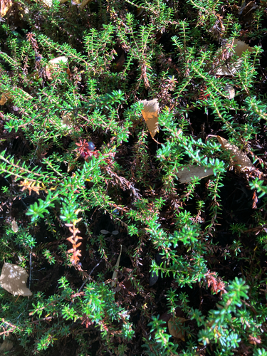
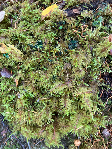
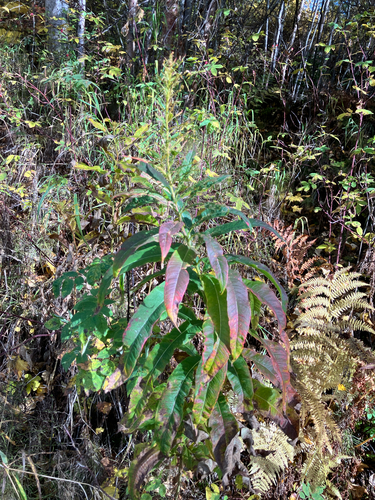
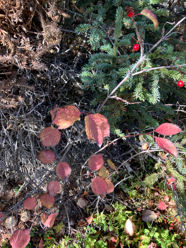
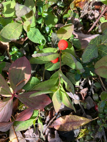
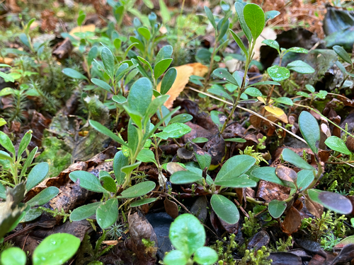
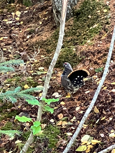
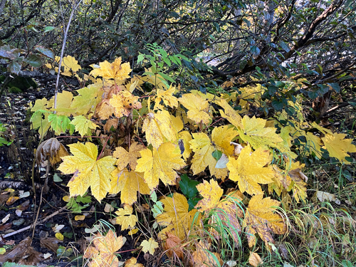
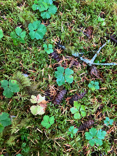
Research-grade observations from iNaturalist (within ~15 mi).
Nearest stream gauge
Live readings from USGS NWIS · measured 2026-10-11 01:00 UTC.
Events
Gallery
Sources
- • Wikipedia
- • US Census Bureau (ACS 5-year estimates)
- • NOAA National Weather Service
- • Wikidata
- • USGS Earthquake Catalog (global feed)
- • USGS NWIS (water data)
- • NCES via Urban Institute Education Data Portal
- • GBIF (Global Biodiversity Information Facility)
- • iNaturalist
- • CDC PLACES
- • Open-Elevation
- • Open-Meteo / sunrise-sunset.org
- • Wikipedia Pageviews API
- • Open Library