Browse / United States / Alaska / Galena
Galena
Alaskacity

Galena
Total population
611
Founded
1918
Demographic figures from US Census Bureau · ACS 5-year estimates. Overview below cites Wikipedia and may reference a different year.
City facts
Facts from Wikidata (CC0).
Overview
Galena is a city in the Yukon-Koyukuk Census Area in the U.S. state of Alaska. At the 2020 census the population was 472, slightly up from 470 in 2010. Galena was established in 1918, and a military airfield was built adjacent to the city during World War II. The city was incorporated in 1971.
Read more on WikipediaHistory & geography
History
The Koyukon Athabascans had seasonal camps in the area and moved as the wild game migrated. In the summer many families floated on rafts to the Yukon River to fish for salmon. There were 12 summer fish camps located on the Yukon River between the Koyukuk River and the Nowitna River. Galena was established in 1920 near an Athabascan fish camp called Henry's Point. It became a supply and point for nearby lead ore mines that opened in 1918 and 1919, and from which Galena takes its name. In 1941 and 1942, during World War II, and was officially closed on October 1, 2010. The Air Force retains responsibility for toxin cleanup in the area and engineers from Eielson Air Force Base in Fairbanks still visit the site on occasion. The base is now totally controlled by the City of Galena, the Galena School District and the Alaska Department of Transportation. The Alaska Wing of the Civil Air Patrol (CAP) was pursuing retaining one of the F-16 fighter hangars as a CAP facility for the CAP Wing in Galena, the "Yukon Squadron". The City of Galena gained notoriety in 2011 when it was noted in media reports as being the US community that received the most benefits from lobbying efforts. The town evaded bankruptcy by aggressively lobbying for state and federal funds for the GILA boarding school in the town, which produced funds that turned the city's finances around. In May 2013, Galena suffered a catastrophic flood when the spring breakup on the Yukon River caused an ice jam approximately 20 miles downstream, backing up the river and affecting 90% of homes in the city. This flood was on a scale never seen before by Galena residents. In the part of town closest to the river, houses were submerged to the roofs in water, and properties on higher ground suffered damage as well. Most of…
Geography
Galena is located at (64.740643, -156.885462). Galena is located on the north bank of the Yukon River, east of Nulato. The Innoko National Wildlife Refuge is southwest of Galena. According to the United States Census Bureau, the city has a total area of , of which, of it is land and of it (25.41%) is water. Galena is inaccessible by road to other parts of Alaska. Residents rely on river cargo in the brief summer season for the bulk of their needs, and planes, boats, or snowmachines to access the outside world. Galena has a subarctic climate (Koppen Dfc), with short, mild summers and severely cold winters. {{Weather box |single line=yes |location= Galena, Alaska (1991–2020 normals, extremes 1942–present
Excerpted from the corresponding Wikipedia article (CC BY-SA).
Demographics & economy
Geography
Coordinates & boundaries from the US Census TIGER/Line shapefiles.
Climate
Current forecast
Forecast for Galena, AK from NOAA NWS API.
Air quality
Industrial & pollution facilities
Natural hazard risk
Health (adults)
Age-adjusted prevalence estimates from CDC PLACES (latest release).
Walkability
Amenities nearby
Wildlife & biodiversity
Most-observed species
- Common RavenCorvus corax Linnaeus, 1758 · Aves26
- American RobinTurdus migratorius Linnaeus, 1766 · Aves23
- White-crowned SparrowZonotrichia leucophrys (J.R.Forster, 1772) · Aves21
- Dark-eyed JuncoJunco hyemalis (Linnaeus, 1758) · Aves19
- Gray JayPerisoreus canadensis (Linnaeus, 1766) · Aves17
- Black-capped ChickadeePoecile atricapillus (Linnaeus, 1766) · Aves17
- Tree SwallowTachycineta bicolor (Vieillot, 1808) · Aves17
- Savannah SparrowPasserculus sandwichensis (J.F.Gmelin, 1789) · Aves17
Citizen-science & research observations from the Global Biodiversity Information Facility (GBIF).
Schools
Earthquake history
Most recent
- M 2.5 — 2026-06-2410 km ENE of Kaltag, Alaska
- M 4.8 — 2026-05-1926 km W of Ruby, Alaska
- M 2.9 — 2026-02-1822 km E of Koyukuk, Alaska
- M 2.6 — 2025-10-2322 km ESE of Ruby, Alaska
- M 2.9 — 2024-12-1819 km S of Galena, Alaska
- M 2.6 — 2023-05-1041 km NNW of Koyukuk, Alaska
Events from the USGS Earthquake Catalog (global) (FDSN Event Web Service).
Photos
Sights & places nearby
Notable people from here
Nearby places in Alaska
- Nulato41.5 mi away · pop. 255
- Huslia68.6 mi away · pop. 51
- Koyuk126.2 mi away · pop. 348
- McGrath130.7 mi away · pop. 255
- Shaktoolik131 mi away · pop. 283
- Unalakleet131.2 mi away · pop. 519
- Nikolai142.4 mi away · pop. 44
- Tanana144.1 mi away · pop. 334
- Shungnak148 mi away · pop. 147
- Buckland149.6 mi away · pop. 533
- Kobuk150.8 mi away · pop. 101
- Selawik155.8 mi away · pop. 412
Geography & sun
Elevation, sunrise/sunset and daylight from Open-Meteo. Solar climatology from NASA POWER.
Nearby airports
Public attention
Pageview totals from the Wikimedia Pageviews API.
Books about Galena
Search results from Open Library.
Recent natural events nearby
Ground air-quality sensors
Recently spotted species
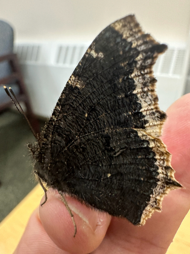
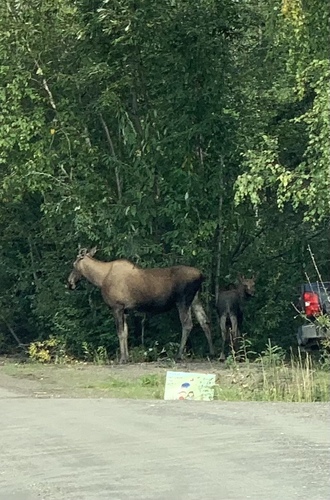
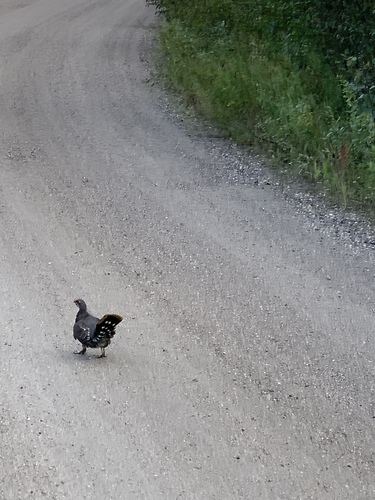
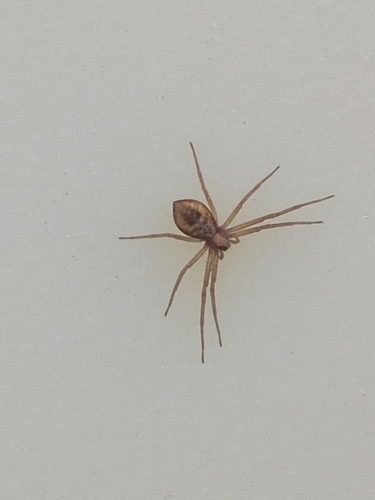
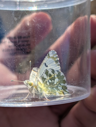
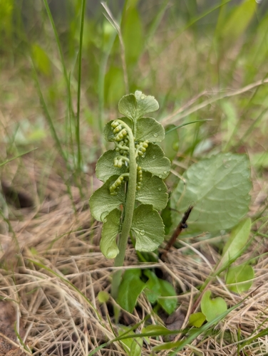
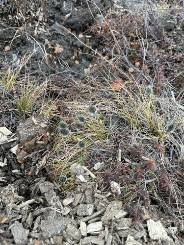
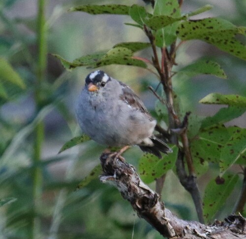
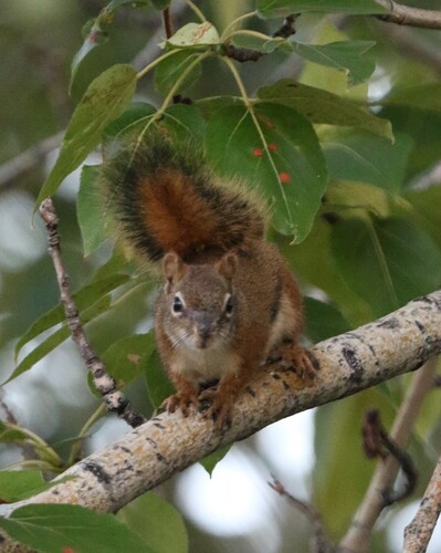
Research-grade observations from iNaturalist (within ~15 mi).
Nearest stream gauge
Live readings from USGS NWIS · measured 2026-10-05 16:00 UTC.
Events
Gallery
Sources
- • Wikipedia
- • NOAA National Weather Service
- • Wikidata
- • USGS Earthquake Catalog (global feed)
- • USGS NWIS (water data)
- • GBIF (Global Biodiversity Information Facility)
- • iNaturalist
- • CDC PLACES
- • Open-Meteo / sunrise-sunset.org
- • Wikipedia Pageviews API
- • Open Library