Browse / United States / Alaska / Homer
Homer
Alaskacity

Homer
Total population
5,877
Median home value
$388,400
Bachelor's+
Median income
$74,449
Founded
1964
Air quality index
Demographic figures from US Census Bureau · ACS 5-year estimates. Overview below cites Wikipedia and may reference a different year.
City facts
Facts from Wikidata (CC0).
Overview
Homer is a city in Kenai Peninsula Borough in the U.S. state of Alaska. It is 218 mi (351 km) southwest of Anchorage. According to the 2020 census, the population was 5,522, up from 5,003 in 2010. Long known as the "Halibut Fishing Capital of the World", Homer is also nicknamed "the end of the road", and more recently, "the cosmic hamlet by the sea".
Read more on WikipediaHistory & geography
History
Tiller digs indicate that early Alutiiq people probably camped in the Homer area, including on the Homer Spit, although their villages were on the far side of Kachemak Bay. The area has been inhabited by humans for around 8,000 years. Coal was discovered in the area in the 1890s. The Cook Inlet Coal Fields Company built a town, dock, coal mine, and railroad at Homer. Coal mining in the area continued and was the main pillar of the economy until World War II. An estimated 400 million tons of coal deposits were still present in the area as of 1959. Homer was named for Homer Pennock, a gold mining company promoter, who arrived in 1896 on the Homer Spit and built living quarters for his crew of 50 men and one woman. However, gold mining was never profitable in the area. Another earlier settlement, Miller's Landing, was named after Charles Miller, who homesteaded in the area around 1915. According to local historian Janet Klein, he was an employee of the Alaska Railroad and had wintered company horses on the beach grasses on the Homer Spit. He built a landing site in a small bight in Kachemak Bay, where supply barges from Seldovia could land and offload their cargos. Miller's landing was legally considered a census-designated place separate from Homer until it was annexed in 2002, but has always been locally considered part of Homer. Commercial fishing became an important economic activity in the early 1900s, and today halibut and salmon sport fishing, along with tourism and commercial fishing, are the dominant industries. Homer co-hosted the 2006 Arctic Winter Games. The Alaska Maritime National Wildlife Refuge and the Kachemak Bay Research Reserve co-host a visitor center with interpretive displays known as the Alaska Islands and Ocean Visitor Center, and a cultural…
Geography
Homer is located at 59°38'35" North, 151°31'33" West (59.643059, −151.525900). The only road into Homer is the Sterling Highway. The town has a total area of , of which are land and are covered by water. Homer is on the shore of Kachemak Bay on the southwest side of the Kenai Peninsula. Its distinguishing feature is the Homer Spit, a narrow long gravel bar that extends into the bay, on which is located the Homer Harbor. Much of the coastline, as well as the Homer Spit, sank dramatically during the Good Friday earthquake in March 1964. After the earthquake, very little vegetation was able to survive on the Homer Spit. As with much of South-central Alaska, Homer has a moderate subarctic mediterranean climate (Köppen: Dsc), which causes its weather to be moderate compared to interior Alaska. Winters are snowy and long, but not particularly cold, considering the latitude, with the average January high only slightly below freezing. The annual snowfall averages per season, falling primarily from November through March, with some accumulation in October and April but rarely in May. Homer receives only about 25 inches of rainfall annually due to the influence of the Chugach Mountains to the southeast, which shelter it from the Gulf of Alaska. As of 2023, Homer falls within USDA Hardiness Zone 6B. Seven days have a minimum or below annually. The coldest day of the year averaged in the 1991 to 2020 normals, while the warmest night average was at . The coldest daytime maximum on record is on January 28, 1989, while, conversely, the record warm daily minimum is on August 9, 1971, and August 23, 1963.(average snowfall/snow days 1981–2010) |source 2 = Weather Atlas (sun and uv) }} {|style="width:100%;text-align:center;line-height:1.2em;margin-left:auto;margin-right:auto"…
Excerpted from the corresponding Wikipedia article (CC BY-SA).
Demographics & economy
Race & ethnicity
Source: US Census Bureau — American Community Survey, 5-year estimates.
Geography
Coordinates & boundaries from the US Census TIGER/Line shapefiles.
Climate
Current forecast
Forecast for Homer, AK from NOAA NWS API.
Air quality
Current readings from Open-Meteo Air Quality API (Copernicus CAMS European reanalysis).
Industrial & pollution facilities
Natural hazard risk
Health (adults)
Age-adjusted prevalence estimates from CDC PLACES (latest release).
Walkability
Amenities nearby
Wildlife & biodiversity
Most-observed species
- Bald EagleHaliaeetus leucocephalus (Linnaeus, 1766) · Aves7,561
- American CrowCorvus brachyrhynchos C.L.Brehm, 1822 · Aves6,182
- Glaucous-winged GullLarus glaucescens J.F.Naumann, 1840 · Aves4,931
- Black-legged KittiwakeRissa tridactyla (Linnaeus, 1758) · Aves3,644
- Short-billed GullLarus brachyrhynchus Richardson, 1831 · Aves3,596
- Black-billed MagpiePica hudsonia (Sabine, 1823) · Aves3,149
- MallardAnas platyrhynchos Linnaeus, 1758 · Aves2,997
- Common LoonGavia immer (Brunnich, 1764) · Aves2,745
Citizen-science & research observations from the Global Biodiversity Information Facility (GBIF).
Schools
Largest nearby schools
- Homer High SchoolHigh · Homer · 368 students · 16.7:1 ratio
- West Homer ElementaryElementary · Homer · 216 students · 12.7:1 ratio
- Paul Banks ElementaryElementary · Homer · 184 students · 12.3:1 ratio
- Homer Middle SchoolMiddle · Homer · 178 students · 13.7:1 ratio
- Fireweed AcademyElementary · Homer · 107 students · 15.3:1 ratio
- Homer Flex SchoolHigh · Homer · 36 students · 12:1 ratio
Public K–12 schools within ~10 mi from Urban Institute Education Data Portal (NCES Common Core of Data, 2022).
Earthquake history
Most recent
- M 3.4 — 2026-10-0123 km NW of Nanwalek, Alaska
- M 3 — 2026-10-0138 km WNW of Anchor Point, Alaska
- M 2.7 — 2026-09-2813 km NNW of Ninilchik, Alaska
- M 3.6 — 2026-09-2842 km WSW of Anchor Point, Alaska
- M 2.6 — 2026-09-2765 km ENE of Pedro Bay, Alaska
- M 2.8 — 2026-09-2356 km WNW of Anchor Point, Alaska
Events from the USGS Earthquake Catalog (global) (FDSN Event Web Service).
Photos
Sights & places nearby
Notable people from here


People born within ~10 km, from Wikidata (CC0). Click any name for their Wikipedia article.
Nearby places in Alaska
- Nikolaevsk12.9 mi away · pop. 245
- Seldovia15.9 mi away · pop. 202
- Happy Valley17.4 mi away · pop. 775
- Ninilchik28.8 mi away · pop. 965
- Sterling66.3 mi away · pop. 6,323
- Lowell Point76 mi away
- Seward80.6 mi away · pop. 2,794
- Cooper Landing82.1 mi away · pop. 227
- Bear Creek83.7 mi away · pop. 1,732
- Pedro Bay91.5 mi away · pop. 14
- Crown Point91.9 mi away · pop. 65
- Moose Pass92.1 mi away · pop. 202
Geography & sun
Elevation, sunrise/sunset and daylight from Open-Meteo. Solar climatology from NASA POWER.
Nearby airports
Public attention
Pageview totals from the Wikimedia Pageviews API.
Books about Homer

Search results from Open Library.
Recent natural events nearby
Ground air-quality sensors
Recently spotted species
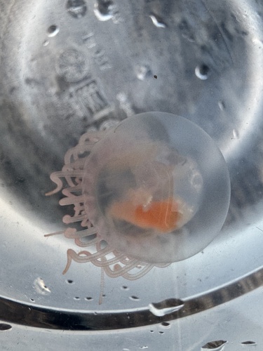
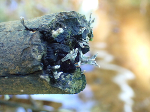
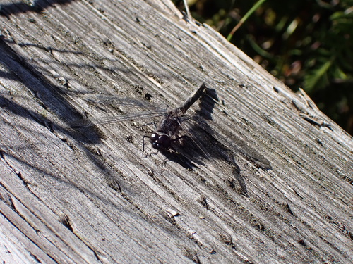
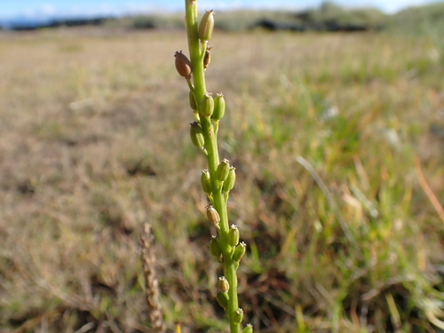
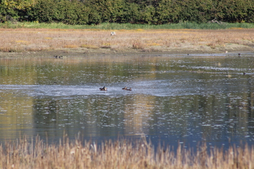
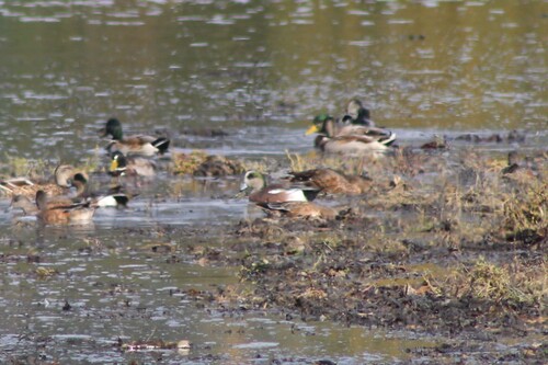
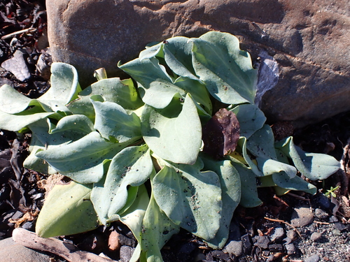
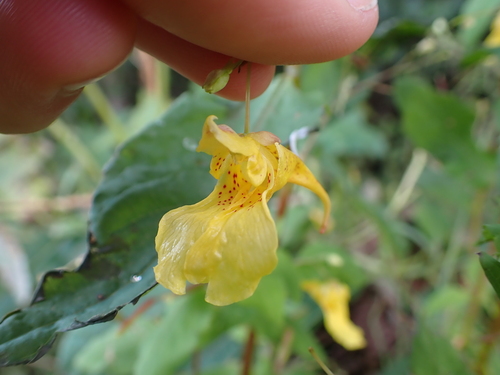
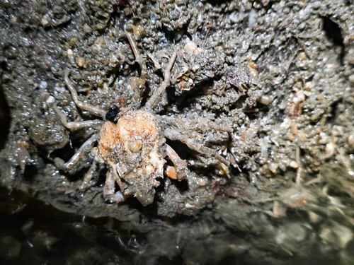
Research-grade observations from iNaturalist (within ~15 mi).
Nearest stream gauge
Events
Gallery
Sources
- • Wikipedia
- • US Census Bureau (ACS 5-year estimates)
- • NOAA National Weather Service
- • Wikidata
- • Open-Meteo Air Quality (CAMS)
- • USGS Earthquake Catalog (global feed)
- • NCES via Urban Institute Education Data Portal
- • GBIF (Global Biodiversity Information Facility)
- • iNaturalist
- • CDC PLACES
- • Open-Meteo / sunrise-sunset.org
- • Wikipedia Pageviews API
- • Open Library