Browse / United States / Alaska / Lazy Mountain
Lazy Mountain
AlaskaCDP

Lazy Mountain
Total population
1,459
Median home value
$352,800
Bachelor's+
Median income
$101,667
Demographic figures from US Census Bureau · ACS 5-year estimates. Overview below cites Wikipedia and may reference a different year.
City facts
Facts from Wikidata (CC0).
Overview
Lazy Mountain is a census-designated place (CDP) in Matanuska-Susitna Borough, Alaska, United States. Located east of Palmer along the Matanuska River. At the 2020 census the population was 1,506, up from 1,479 in 2010.
Read more on WikipediaHistory & geography
Geography
Lazy Mountain, the namesake geographic feature of the Lazy Mountain area, is located at . The peak of Lazy Mountain is above sea level. According to the United States Census Bureau, the 2010 CDP has a total area of (up from 35.7 in 2000), of which, of it is land and of it is water. The southern boundary of the CDP starts at the Old Glenn Highway where it meets E. Smith Rd, extends east along the Smith Road extension to Harmony Avenue, then south one block to Purser Place and then east again approximately 1/2 mile along an imaginary line to McRoberts Creek. McRoberts Creek forms the southeast boundary of the CDP up to its headwaters and to the top of the ridge south of Matanuska Peak. The east boundary forms an irregular line along the ridge to Matanuska Peak, then down to the glacier and along its outfall creek to where it meets Wolverine Creek.
Excerpted from the corresponding Wikipedia article (CC BY-SA).
Demographics & economy
Race & ethnicity
Source: US Census Bureau — American Community Survey, 5-year estimates.
Geography
Coordinates & boundaries from the US Census TIGER/Line shapefiles.
Climate
Current forecast
Forecast for Lazy Mountain, AK from NOAA NWS API.
Air quality
Industrial & pollution facilities
Natural hazard risk
Health (adults)
Age-adjusted prevalence estimates from CDC PLACES (latest release).
Walkability
Amenities nearby
Wildlife & biodiversity
Schools
Largest nearby schools
- Palmer High SchoolHigh · Palmer · 760 students · 18.1:1 ratio
- Palmer Middle SchoolMiddle · Palmer · 594 students · 21.2:1 ratio
- Swanson ElementaryElementary · Palmer · 406 students · 17.7:1 ratio
- Sherrod ElementaryElementary · Palmer · 395 students · 18:1 ratio
- Butte ElementaryElementary · Palmer · 274 students · 14.4:1 ratio
- Academy Charter SchoolElementary · Palmer · 261 students · 14.5:1 ratio
- Valley PathwaysHigh · Palmer · 200 students · 20:1 ratio
- Sutton ElementaryElementary · Sutton · 51 students · 12.8:1 ratio
Public K–12 schools within ~10 mi from Urban Institute Education Data Portal (NCES Common Core of Data, 2022).
Earthquake history
Most recent
- M 3.1 — 2026-09-3026 km N of Glacier View, Alaska
- M 2.5 — 2026-09-307 km WSW of Willow, Alaska
- M 2.7 — 2026-09-2822 km SSW of Susitna, Alaska
- M 2.5 — 2026-09-2823 km SSW of Susitna, Alaska
- M 2.9 — 2026-09-2716 km NW of Fishhook, Alaska
- M 2.9 — 2026-09-2724 km WSW of Point MacKenzie, Alaska
Events from the USGS Earthquake Catalog (global) (FDSN Event Web Service).
Photos
Sights & places nearby
Notable people from here


People born within ~10 km, from Wikidata (CC0). Click any name for their Wikipedia article.
Nearby places in Alaska
- Sutton-Alpine6 mi away · pop. 1,598
- Buffalo Soapstone6.7 mi away · pop. 739
- Palmer7.5 mi away · pop. 6,268
- Gateway11.6 mi away · pop. 6,845
- Fishhook12.8 mi away · pop. 5,819
- North Lakes12.9 mi away · pop. 10,223
- South Lakes13.7 mi away · pop. 6,180
- Knik River13.8 mi away · pop. 883
- Wasilla18.4 mi away · pop. 9,720
- Knik-Fairview25.2 mi away · pop. 19,972
- Willow27.7 mi away · pop. 1,815
- Houston28.9 mi away · pop. 1,834
Geography & sun
Elevation, sunrise/sunset and daylight from Open-Meteo. Solar climatology from NASA POWER.
Nearby airports
Public attention
Pageview totals from the Wikimedia Pageviews API.
Books about Lazy Mountain

Search results from Open Library.
Recent natural events nearby
- Wildfire Mukluk, Southeast Fairbanks, AlaskaWildfires · 2026-08-17 · 220 mi
Wildfires, storms and other events from NASA EONET (last 12 months, within 250 mi).
Ground air-quality sensors
Recently spotted species
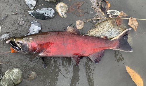

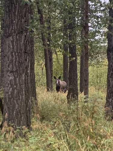
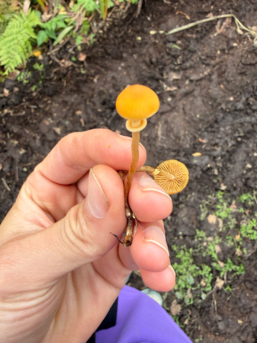
Research-grade observations from iNaturalist (within ~15 mi).
Nearest stream gauge
Live readings from USGS NWIS · measured 2026-10-05 15:45 UTC.
Events
Gallery
Sources
- • Wikipedia
- • US Census Bureau (ACS 5-year estimates)
- • NOAA National Weather Service
- • Wikidata
- • USGS Earthquake Catalog (global feed)
- • USGS NWIS (water data)
- • NCES via Urban Institute Education Data Portal
- • iNaturalist
- • CDC PLACES
- • Open-Meteo / sunrise-sunset.org
- • Wikipedia Pageviews API
- • Open Library
- • NASA EONET