Browse / United States / Alaska / Wasilla
Wasilla
Alaskacity

Wasilla
Total population
9,720
Median home value
$358,400
Bachelor's+
Median income
$67,234
Founded
1917
Demographic figures from US Census Bureau · ACS 5-year estimates. Overview below cites Wikipedia and may reference a different year.
City facts
Facts from Wikidata (CC0).
Overview
Wasilla is a city in Matanuska-Susitna Borough, Alaska, United States, and the fourth-largest city in Alaska. It is located on the northern point of Cook Inlet in the Matanuska-Susitna Valley of the southcentral part of the state. The city's population was 9,054 at the 2020 census, up from 7,831 in 2010. Wasilla is the largest city in the borough and a part of the Anchorage metropolitan area, which had an estimated population of 398,328 in 2020.
Read more on WikipediaHistory & geography
History
Glacial ice sheets covered most of the northern hemisphere during the last glacial period, between 26,500 and 19,000–20,000 years ago, until they disappeared between 10,000 and about 7,000 years ago. Early humans moved through the area and left evidence of their passage. In 1917, the U.S. government planned the Alaska Railroad to intersect the Carle Wagon Road (present Wasilla-Fishhook Road) which connected Knik and the mines. Local businesses and residents rushed to buy land nearby, and Knik declined. Wasilla Station was named for the nearby Wasilla Creek. Local miners used the name "Wasilla Creek", referring to Wassila, a chief of the Dena'ina. There are two sources cited for the name, one being derived from a Dena'ina word meaning "breath of air" while another stating Dena'ina derived it from the Russian name . As Knik declined into a ghost town, Wasilla served early fur trappers and miners working the gold fields at Cache Creek and Willow Creek. More than 200 farm families from the Upper Midwest were moved into the Matanuska and Susitna valleys in 1935 as part of a U.S. government program to start a new farming community to counteract this trend; their linguistic influence is still audible in the region. The area was a supply base for gold mines near Hatcher Pass through World War II. Until construction of the George Parks Highway around 1970, nearby Palmer was the leading city in the Matanuska Valley. Wasilla was at the end of the Palmer-Wasilla highway and the road to Big Lake provided access to land west of Wasilla. The Parks Highway put Wasilla at mile 40–42 of what became the major highway and railroad transportation corridor linking Southcentral Alaska to Interior Alaska. As a result, population growth and community development shifted from the Palmer area…
Geography
According to the United States Census Bureau, the city has an area of 12.4 square miles (. Of that, 11.7 square miles (30.4 km2) is land and (5.64%) is water. Located near Wasilla Lake and Lake Lucille, Wasilla is one of two towns in the Matanuska Valley. The community surrounds Mi. 39–46 of the George Parks Highway, roughly by highway northeast of Anchorage. Nearly one third of the people of Wasilla drive the 40-minute commute to work in Anchorage every day. Six miles to the southeast is Mount POW/MIA. Wasilla has a climate similar to that of Anchorage, classified as a subarctic climate (Dfc) by Köppen-Geiger climate classification, although with slightly warmer daytime maxima and colder nighttime minima due to its inland location. On average, over the course of the entire year, there are 30–31 days of sub- lows, 37–38 days of + highs, and 1.4 days of + highs. The average annual precipitation is , with of snowfall.
Excerpted from the corresponding Wikipedia article (CC BY-SA).
Demographics & economy
Race & ethnicity
Source: US Census Bureau — American Community Survey, 5-year estimates.
Geography
Coordinates & boundaries from the US Census TIGER/Line shapefiles.
Climate
Current forecast
Forecast for Wasilla, AK from NOAA NWS API.
Air quality
Industrial & pollution facilities
Natural hazard risk
Health (adults)
Age-adjusted prevalence estimates from CDC PLACES (latest release).
Walkability
Amenities nearby
Wildlife & biodiversity
Most-observed species
- Black-capped ChickadeePoecile atricapillus (Linnaeus, 1766) · Aves2,383
- Black-billed MagpiePica hudsonia (Sabine, 1823) · Aves2,123
- Common RavenCorvus corax Linnaeus, 1758 · Aves1,743
- American RobinTurdus migratorius Linnaeus, 1766 · Aves1,670
- MallardAnas platyrhynchos Linnaeus, 1758 · Aves1,607
- Bald EagleHaliaeetus leucocephalus (Linnaeus, 1766) · Aves1,500
- Dark-eyed JuncoJunco hyemalis (Linnaeus, 1758) · Aves1,351
- Yellow-rumped WarblerSetophaga coronata (Linnaeus, 1766) · Aves1,303
Citizen-science & research observations from the Global Biodiversity Information Facility (GBIF).
Schools
Earthquake history
Most recent
- M 2.5 — 2026-09-307 km WSW of Willow, Alaska
- M 2.7 — 2026-09-2822 km SSW of Susitna, Alaska
- M 2.5 — 2026-09-2823 km SSW of Susitna, Alaska
- M 2.9 — 2026-09-2716 km NW of Fishhook, Alaska
- M 2.9 — 2026-09-2724 km WSW of Point MacKenzie, Alaska
- M 3.7 — 2026-09-2414 km SSE of Susitna North, Alaska
Events from the USGS Earthquake Catalog (global) (FDSN Event Web Service).
Photos
Sights & places nearby
Notable people from here


People born within ~10 km, from Wikidata (CC0). Click any name for their Wikipedia article.
Nearby places in Alaska
- South Lakes4.8 mi away · pop. 6,180
- Tanaina5.4 mi away · pop. 9,646
- North Lakes5.6 mi away · pop. 10,223
- Knik-Fairview7.4 mi away · pop. 19,972
- Gateway7.9 mi away · pop. 6,845
- Palmer11.4 mi away · pop. 6,268
- Houston11.4 mi away · pop. 1,834
- Fishhook11.9 mi away · pop. 5,819
- Buffalo Soapstone13.2 mi away · pop. 739
- Butte15.9 mi away · pop. 4,085
- Knik River17.1 mi away · pop. 883
- Lazy Mountain18.4 mi away · pop. 1,459
Geography & sun
Elevation, sunrise/sunset and daylight from Open-Meteo. Solar climatology from NASA POWER.
Nearby airports
Public attention
Pageview totals from the Wikimedia Pageviews API.
Books about Wasilla

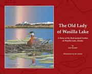


Search results from Open Library.
Recent natural events nearby
- Wildfire Mukluk, Southeast Fairbanks, AlaskaWildfires · 2026-08-17 · 238 mi
Wildfires, storms and other events from NASA EONET (last 12 months, within 250 mi).
Ground air-quality sensors
Recently spotted species
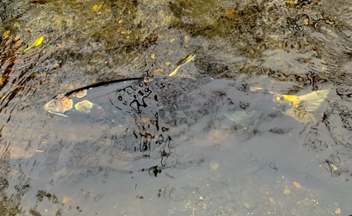
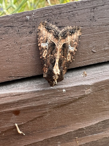
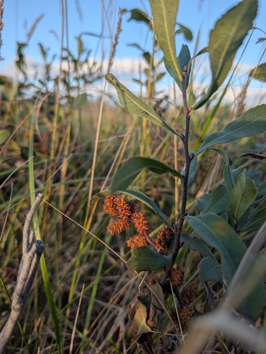
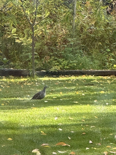
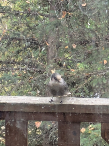
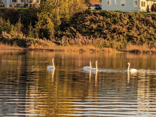
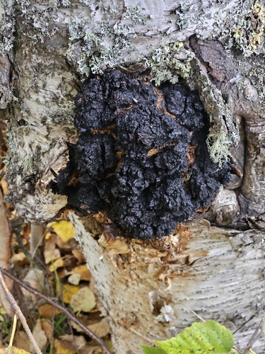
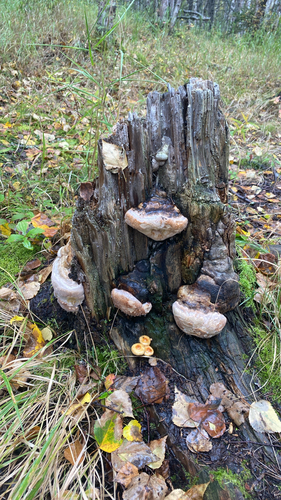
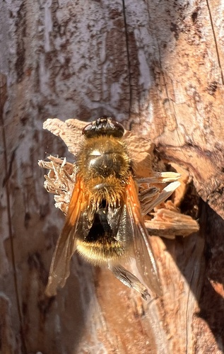
Research-grade observations from iNaturalist (within ~15 mi).
Nearest stream gauge
Live readings from USGS NWIS · measured 2026-10-05 16:15 UTC.
Events
Gallery
Sources
- • Wikipedia
- • US Census Bureau (ACS 5-year estimates)
- • NOAA National Weather Service
- • Wikidata
- • USGS Earthquake Catalog (global feed)
- • USGS NWIS (water data)
- • GBIF (Global Biodiversity Information Facility)
- • iNaturalist
- • CDC PLACES
- • Open-Meteo / sunrise-sunset.org
- • Wikipedia Pageviews API
- • Open Library
- • NASA EONET