Browse / United States / Alaska / Palmer
Palmer
Alaskacity

Palmer
Total population
6,268
Median home value
$294,900
Bachelor's+
Median income
$72,201
Founded
1951
Demographic figures from US Census Bureau · ACS 5-year estimates. Overview below cites Wikipedia and may reference a different year.
City facts
Sister cities
Facts from Wikidata (CC0).
Overview
Palmer is a city in and the borough seat of the Matanuska-Susitna Borough, Alaska, United States, located 42 miles (68 km) northeast of Anchorage on the Glenn Highway in the Matanuska Valley. It is the ninth-largest city in Alaska, and forms part of the Anchorage metropolitan statistical area. As of the 2020 census, the population of the city is 5,888, down from 5,937 in 2010.
Read more on WikipediaHistory & geography
History
The city was named after George Palmer, a trader. In the late 19th century, the U.S. government began to take interest in the Matanuska coal fields located north of Palmer. This interest sparked financiers to consider constructing the Alaska Central Railroad in 1904. The advent of World War I created a need for high-quality coal to fuel U.S. battleships, and by 1917 the US Navy had constructed rail from the port of Seward to the Chickaloon coal deposits. At the end of World War I, the U.S. Navy distributed land in the coal fields to war veterans and additional land was opened to homesteading. Farmers, miners and homesteaders began to populate the area. The Palmer Post Office was opened July 6, 1917, under the name of Warton. With railroad accessibility, new markets for agriculture began to open up for farmers in the Matanuska Valley. In one year, Palmer transformed from a mere whistle stop rail siding to a planned community with modern utilities and community services. Eleven million dollars from Federal Emergency Relief Administration was spent to create the town of Palmer and relocate 203 families from the hard hit Iron Range region of Michigan, Minnesota and Wisconsin. Families traveled by train and ship to Palmer, arriving in May 1935. Upon their arrival they were housed in a city tent during their first Alaskan summer. Each family drew lots for tracts and their farming adventure began in earnest. The failure rate was high, but many of their descendants still live in the area and there are still many operating farms in the Palmer area, including the Vanderwheele and Wolverine farms. In 1971, the National Outdoor Leadership School started operating wilderness education courses in the nearby Talkeetna and Chugach mountain ranges from a local historic farmhouse,…
Geography
Palmer is northeast of Anchorage on the Glenn Highway. It lies on the north shore of the Matanuska River, not far above tidewater, in a wide valley between the Talkeetna Mountains to the north and the Chugach Mountains to the south and east. Pioneer Peak rises over above the town, just a few miles south. East of Palmer is Lazy Mountain, and standing behind that is Matanuska Peak. Lazy Mountain, Matanuska Peak, and Pioneer Peak are all a part of the Chugach Range. North of Palmer are the Talkeetna Mountains. Hatcher Pass, a local favorite for hiking, skiing and other recreational activities, is located in this mountain range about from Palmer. According to the United States Census Bureau, the city has a total area of , all of it land. Palmer and Wasilla are the two major old-town cores of the Matanuska-Susitna Valley. Population of the area has grown dramatically in the past decade; Borough officials estimate the local population at 8,000. Apart from road access, Palmer can be accessed by the Palmer Municipal Airport and the Palmer Depot of the Alaska Railroad. Neither of these has regularly scheduled service. However, when the Alaska State Fair operates, the Alaska Railroad operates a special train from Anchorage to Palmer (though it did not operate in 2021). Palmer has a subarctic climate (Köppen climate classification: Dsc). Despite this classification, the city receives noticeably more precipitation in summer, with August being the wettest month. However, April, one of the six warmer months is sufficiently drier than October and December, hence the letter 's' is used instead of 'f' (as in Dfc). Palmer has a climate similar to that of Anchorage, although with low temperatures that are on average cooler and highs warmer. On average, over the course of a…
Excerpted from the corresponding Wikipedia article (CC BY-SA).
Demographics & economy
Race & ethnicity
Source: US Census Bureau — American Community Survey, 5-year estimates.
Geography
Coordinates & boundaries from the US Census TIGER/Line shapefiles.
Climate
Current forecast
Forecast for Palmer, AK from NOAA NWS API.
Air quality
Industrial & pollution facilities
Natural hazard risk
Health (adults)
Age-adjusted prevalence estimates from CDC PLACES (latest release).
Walkability
Amenities nearby
Wildlife & biodiversity
Most-observed species
- Black-capped ChickadeePoecile atricapillus (Linnaeus, 1766) · Aves3,897
- Black-billed MagpiePica hudsonia (Sabine, 1823) · Aves2,855
- Common RavenCorvus corax Linnaeus, 1758 · Aves2,629
- American RobinTurdus migratorius Linnaeus, 1766 · Aves2,545
- Dark-eyed JuncoJunco hyemalis (Linnaeus, 1758) · Aves2,200
- Yellow-rumped WarblerSetophaga coronata (Linnaeus, 1766) · Aves2,095
- Red-breasted NuthatchSitta canadensis Linnaeus, 1766 · Aves2,055
- Common RedpollAcanthis flammea (Linnaeus, 1758) · Aves1,881
Citizen-science & research observations from the Global Biodiversity Information Facility (GBIF).
Schools
Largest nearby schools
- Colony High SchoolHigh · Palmer · 1,117 students · 20.3:1 ratio
- Palmer High SchoolHigh · Palmer · 760 students · 18.1:1 ratio
- Mat-Su Career & Tech Ed High SchoolHigh · Wasilla · 743 students · 17.7:1 ratio
- Colony Middle SchoolMiddle · Palmer · 735 students · 20.4:1 ratio
- Teeland Middle SchoolMiddle · Wasilla · 719 students · 19.4:1 ratio
- Palmer Middle SchoolMiddle · Palmer · 594 students · 21.2:1 ratio
- John Shaw ElementaryElementary · Wasilla · 533 students · 18.4:1 ratio
- Pioneer Peak ElementaryElementary · Palmer · 513 students · 18.3:1 ratio
Public K–12 schools within ~10 mi from Urban Institute Education Data Portal (NCES Common Core of Data, 2022).
Earthquake history
Most recent
- M 3.1 — 2026-09-3026 km N of Glacier View, Alaska
- M 2.5 — 2026-09-307 km WSW of Willow, Alaska
- M 2.7 — 2026-09-2822 km SSW of Susitna, Alaska
- M 2.5 — 2026-09-2823 km SSW of Susitna, Alaska
- M 2.9 — 2026-09-2716 km NW of Fishhook, Alaska
- M 2.9 — 2026-09-2724 km WSW of Point MacKenzie, Alaska
Events from the USGS Earthquake Catalog (global) (FDSN Event Web Service).
Photos
Sights & places nearby
Notable people from here


People born within ~10 km, from Wikidata (CC0). Click any name for their Wikipedia article.
Nearby places in Alaska
- Farm Loop2.9 mi away
- Gateway4.1 mi away · pop. 6,845
- Buffalo Soapstone6 mi away · pop. 739
- South Lakes6.6 mi away · pop. 6,180
- North Lakes6.6 mi away · pop. 10,223
- Lazy Mountain7.5 mi away · pop. 1,459
- Knik River10 mi away · pop. 883
- Fishhook10.8 mi away · pop. 5,819
- Wasilla11.4 mi away · pop. 9,720
- Sutton-Alpine12.7 mi away · pop. 1,598
- Meadow Lakes16.5 mi away · pop. 8,689
- Knik-Fairview17.8 mi away
Geography & sun
Elevation, sunrise/sunset and daylight from Open-Meteo. Solar climatology from NASA POWER.
Nearby airports
Public attention
Pageview totals from the Wikimedia Pageviews API.
Books about Palmer


Search results from Open Library.
Recent natural events nearby
- Wildfire Mukluk, Southeast Fairbanks, AlaskaWildfires · 2026-08-17 · 228 mi
Wildfires, storms and other events from NASA EONET (last 12 months, within 250 mi).
Ground air-quality sensors
Recently spotted species
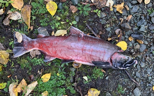
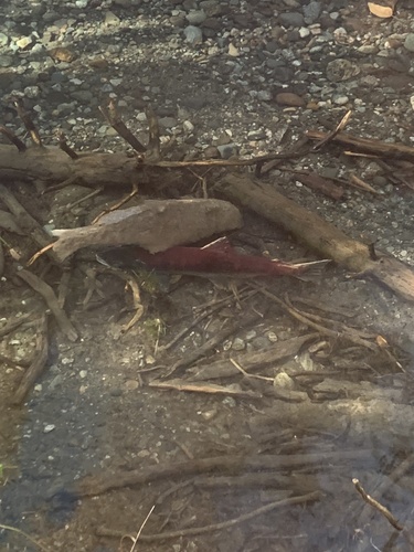
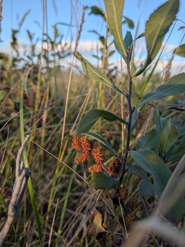
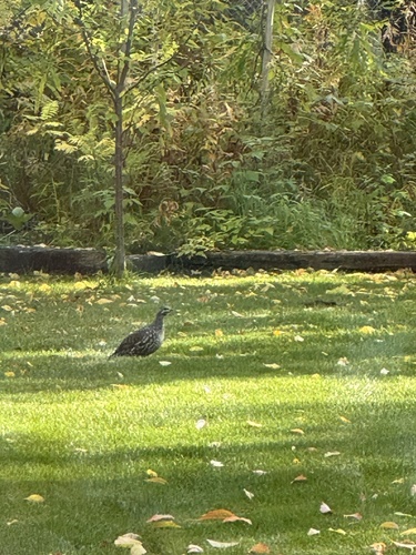
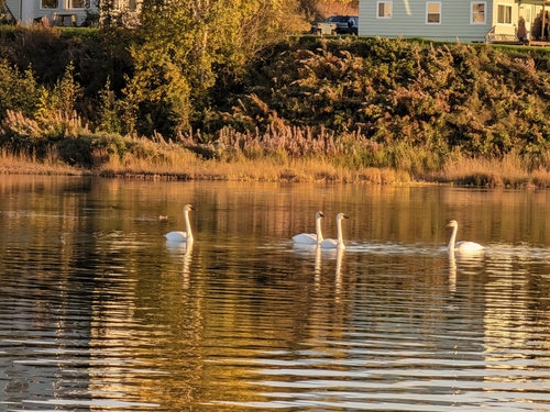
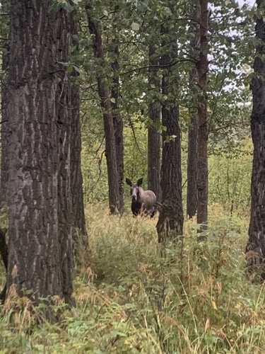
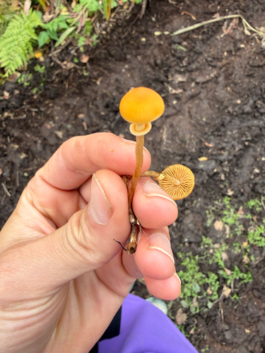
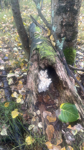
Research-grade observations from iNaturalist (within ~15 mi).
Nearest stream gauge
Live readings from USGS NWIS · measured 2026-10-05 15:30 UTC.
Events
Gallery
Sources
- • Wikipedia
- • US Census Bureau (ACS 5-year estimates)
- • NOAA National Weather Service
- • Wikidata
- • USGS Earthquake Catalog (global feed)
- • USGS NWIS (water data)
- • NCES via Urban Institute Education Data Portal
- • GBIF (Global Biodiversity Information Facility)
- • iNaturalist
- • CDC PLACES
- • Open-Elevation
- • Open-Meteo / sunrise-sunset.org
- • Wikipedia Pageviews API
- • Open Library
- • NASA EONET