Browse / United States / Alaska / Tok
Tok
AlaskaCDP

Tok
Total population
1,649
Median home value
$224,600
Bachelor's+
Median income
$64,063
Founded
1942
Demographic figures from US Census Bureau · ACS 5-year estimates. Overview below cites Wikipedia and may reference a different year.
City facts
Facts from Wikidata (CC0).
Overview
Tok is a census-designated place (CDP) in Southeast Fairbanks Census Area, Alaska, United States. The population was 1,243 at the 2020 census, slightly down from 1,258 in 2010.
Read more on WikipediaHistory & geography
History
There have been Athabascan settlements in the region of what is now Tok for many centuries. The town at the present location of Tok began in 1942 as an Alaska Road Commission camp used for construction and maintenance of the Alaska Highway. So much money was spent in the camp's construction and maintenance that it earned the nickname "Million Dollar Camp" from those working on the highway. In 1947 the first school opened, and in 1958 a larger school was built to accommodate the many newcomers. In 1995 a new school was opened to provide for the larger community. A U.S. Customs Office was located in Tok between 1947 and 1971, when it was moved to the Canada–US border. Between 1954 and 1979, an 8-inch U.S. Army fuel pipeline operated from the port of Haines to Fairbanks, with a pump station in Tok. In July 1990 Tok faced extinction when a lightning-caused forest fire jumped two rivers and the Alaska Highway, putting both residents and buildings in peril. The town was evacuated and even the efforts of over a thousand firefighters could not stop the fire. At the last minute a "miracle wind" (so labeled by Tok's residents) came up, diverting the fire just short of the first building. The fire continued to burn the remainder of the summer, eventually burning more than . On January 10, 2009, Tok made headlines with an unconfirmed temperature reading of . In one version, the name Tok is derived from the Athabascan word for "peaceful crossing." The U.S. Geological Survey notes that the name "Tok River" was in use for the nearby river around 1901, and the Athabascan name of "Tokai" had been reported for the same river by Lt. Allen in 1887. In another version the name is derived from the English words "Tokyo camp", although the major war benefit was supporting the transfer…
Geography
Tok lies on a large, flat alluvial plain of the Tanana Valley between the Tanana River and the Alaska Range at an important junction of the Alaska Highway (Alaska Route 2) with the Glenn Highway (Alaska Route 1). According to the United States Census Bureau, the CDP has a total area of , all of it land. Tok has a dry-winter continental subarctic climate (Köppen Dwc) with generally warm summers and severely cold winters. The weather station is at above sea level.
Excerpted from the corresponding Wikipedia article (CC BY-SA).
Demographics & economy
Race & ethnicity
Source: US Census Bureau — American Community Survey, 5-year estimates.
Geography
Coordinates & boundaries from the US Census TIGER/Line shapefiles.
Climate
Current forecast
Forecast for Tok, AK from NOAA NWS API.
Air quality
Industrial & pollution facilities
Natural hazard risk
Health (adults)
Age-adjusted prevalence estimates from CDC PLACES (latest release).
Walkability
Amenities nearby
Wildlife & biodiversity
Most-observed species
- Common RavenCorvus corax Linnaeus, 1758 · Aves71
- Dark-eyed JuncoJunco hyemalis (Linnaeus, 1758) · Aves63
- American RobinTurdus migratorius Linnaeus, 1766 · Aves62
- Swainson's ThrushCatharus ustulatus (Nuttall, 1840) · Aves41
- Yellow-rumped WarblerSetophaga coronata (Linnaeus, 1766) · Aves41
- Boreal ChickadeePoecile hudsonicus (J.R.Forster, 1772) · Aves35
- Gray JayPerisoreus canadensis (Linnaeus, 1766) · Aves34
- White-crowned SparrowZonotrichia leucophrys (J.R.Forster, 1772) · Aves34
Citizen-science & research observations from the Global Biodiversity Information Facility (GBIF).
Schools
Largest nearby schools
- Tok SchoolOther · Tok · 185 students · 11.6:1 ratio
- Alaska REACH AcademyOther · Tok · 33 students
Public K–12 schools within ~10 mi from Urban Institute Education Data Portal (NCES Common Core of Data, 2022).
Earthquake history
Most recent
- M 3 — 2026-09-2413 km ENE of Slana, Alaska
- M 3.1 — 2026-08-2813 km N of Mentasta Lake, Alaska
- M 3.1 — 2026-08-0628 km SSW of Dry Creek, Alaska
- M 3 — 2026-07-1732 km SSW of Dry Creek, Alaska
- M 2.7 — 2026-02-1636 km ENE of Paxson, Alaska
- M 2.7 — 2026-01-0737 km NW of Mentasta Lake, Alaska
Events from the USGS Earthquake Catalog (global) (FDSN Event Web Service).
Photos
Sights & places nearby
Notable people from here
People born within ~10 km, from Wikidata (CC0). Click any name for their Wikipedia article.
Nearby places in Alaska
- Tanacross13.9 mi away
- Tetlin19.5 mi away · pop. 123
- Mentasta Lake27.3 mi away · pop. 96
- Dot Lake Village38 mi away
- Dot Lake42.6 mi away
- Slana51.8 mi away
- Dry Creek53.5 mi away · pop. 162
- Nabesna57.5 mi away
- Chicken64.2 mi away
- Healy Lake68.9 mi away · pop. 24
- Alcan Border72.2 mi away · pop. 3
- Deltana78 mi away · pop. 1,997
Geography & sun
Elevation, sunrise/sunset and daylight from Open-Meteo. Solar climatology from NASA POWER.
Nearby airports
Public attention
Pageview totals from the Wikimedia Pageviews API.
Books about Tok


Search results from Open Library.
Recent natural events nearby
- Wildfire Mukluk, Southeast Fairbanks, AlaskaWildfires · 2026-08-17 · 1 mi
Wildfires, storms and other events from NASA EONET (last 12 months, within 250 mi).
Ground air-quality sensors
Recently spotted species
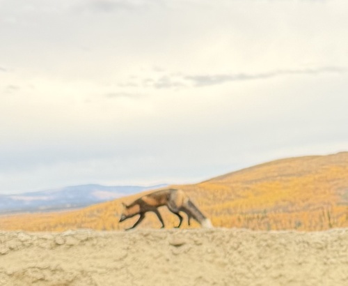
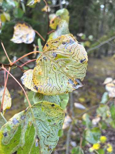
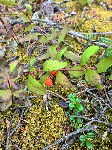
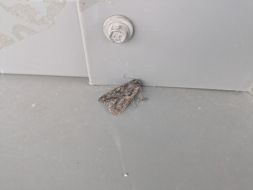
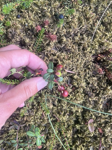
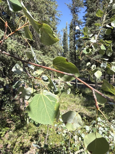
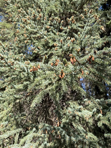
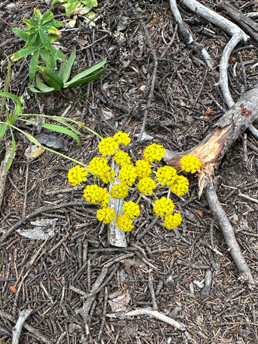
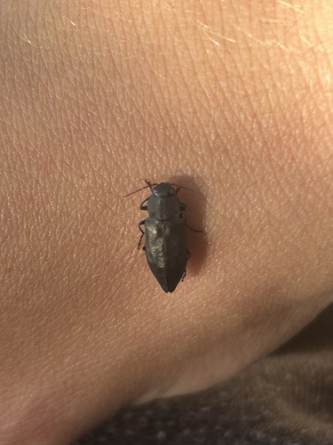
Research-grade observations from iNaturalist (within ~15 mi).
Nearest stream gauge
Events
Gallery
Sources
- • Wikipedia
- • US Census Bureau (ACS 5-year estimates)
- • NOAA National Weather Service
- • Wikidata
- • USGS Earthquake Catalog (global feed)
- • NCES via Urban Institute Education Data Portal
- • GBIF (Global Biodiversity Information Facility)
- • iNaturalist
- • CDC PLACES
- • Open-Meteo / sunrise-sunset.org
- • Wikipedia Pageviews API
- • Open Library
- • NASA EONET