Browse / Austria / Tyrol / Grinzens
Grinzens
Tyrolvillage

Grinzens
Total population
1,280
Air quality index
Demographic figures from Statistik Austria. Overview below cites Wikipedia and may reference a different year.
City facts
Facts from Wikidata (CC0).
Overview
Grinzens is a municipality in the Austrian state of Tyrol in the district of Innsbruck-Land. As of January 2015, its population is 1414. It lies southwest of the city of Innsbruck at an elevation of 945 m.
Read more on WikipediaHistory & geography
History
The village was first mentioned in a document in 1288 as Gratzinnes. The name of the village is ancient and its meaning is no longer clear. The original word was probably *Grinza or *Grazinna. In any case it can be placed in the same linguistic stratum as Fritzens, Götzens etc., which go back to the pre-Roman ending -inna. The records around 1400 of the Frauenchiemsee monastery name nine farms in Grinzens. The Sender valley leading south was also permanently settled around this time and still in 1352 - designated as "perch in Senders" - under the jurisdiction of the monastery of Wilten (Innsbruck).[3] In the 16th century these Schwaighöfe became alpine pastures. Until 1811 Grinzens was part of the neighboring municipality of Axams, before the Bavarian occupation elevated Grinzens to a politically independent municipality after the Tyrolean uprisings of 1809. Ecclesiastically, Grinzens only became a parish in its own right in 1956.
Geography
Grinzens is located on a low mountain terrace southwest of Innsbruck, at the entrance to the Sellrain valley. The municipal area is bordered by the Melach and the Sendersbach. The elongated settlement extends mainly along a road that runs from Sellrain (Neder with Gertrein and Brandögg) to the western end of Axams (Moarhof and Bachl) and forks in the village area into the side, parallel to the Neder. Above the Anger one speaks of Obergrinzens, below, at the village church, of Untergrinzens.In addition to these streets, the village is characterized by the municipal building (with elementary school, kindergarten, crèche and pavilion, significantly expanded in 2013), the church and a multi-purpose building in the village center. The entire Senderstal valley, up to the Kalkkögel mountains, also belongs to the municipal area. About one-tenth of the municipality's area is suitable for year-round settlement, resulting in an effective population density of about 490 inhabitants per km2 of permanent settlement area.
Excerpted from the corresponding Wikipedia article (CC BY-SA).
Geography
Coordinates & boundaries from the US Census TIGER/Line shapefiles.
Climate
10-year averages from ERA5 reanalysis (Open-Meteo).
Air quality
Current readings from Open-Meteo Air Quality API (Copernicus CAMS European reanalysis).
Walkability
Amenities nearby
Wildlife & biodiversity
Most-observed species
- Eurasian BlackbirdTurdus merula Linnaeus, 1758 · Aves2,916
- Carrion CrowCorvus corone Linnaeus, 1758 · Aves2,620
- Narrow-leaved RagwortSenecio inaequidens DC. · Magnoliopsida2,564
- Great TitParus major Linnaeus, 1758 · Aves2,348
- Common ChaffinchFringilla coelebs Linnaeus, 1758 · Aves2,242
- MallardAnas platyrhynchos Linnaeus, 1758 · Aves1,903
- European RobinErithacus rubecula (Linnaeus, 1758) · Aves1,873
- House SparrowPasser domesticus (Linnaeus, 1758) · Aves1,822
Citizen-science & research observations from the Global Biodiversity Information Facility (GBIF).
Earthquake history
Most recent
- M 2.5 — 2021-10-035 km NNE of Silandro, Italy
- M 3.7 — 2021-08-161 km S of Niederau, Austria
- M 3.6 — 2020-08-085 km SE of Gramais, Austria
- M 3.8 — 2019-10-224 km SE of Ebbs, Austria
- M 4 — 2018-01-172 km NE of Innerbraz, Austria
- M 2.5 — 2017-11-203 km SE of Medraz, Austria
Events from the USGS Earthquake Catalog (global) (FDSN Event Web Service).
Photos
Sights & places nearby
Notable people from here


People born within ~10 km, from Wikidata (CC0). Click any name for their Wikipedia article.
Nearby places in Tyrol
- Oberperfuss1.1 mi away · pop. 2,712
- Axams1.2 mi away · pop. 5,318
- Tanneben1.9 mi away
- Ranggen2.8 mi away · pop. 846
- Völs3.8 mi away · pop. 6,713
- Hatting5.3 mi away · pop. 1,097
- Leiblfing5.7 mi away
- Pollingberg6.4 mi away · pop. 187
- Flaurling-Berg7.1 mi away
- Medraz7.3 mi away · pop. 1,053
- Mieders7.3 mi away · pop. 1,668
- Mösern7.5 mi away · pop. 344
Geography & sun
Elevation, sunrise/sunset and daylight from Open-Meteo. Solar climatology from NASA POWER.
Nearby airports
Public attention
Pageview totals from the Wikimedia Pageviews API.
Books about this place
Recent natural events nearby
Ground air-quality sensors
Recently spotted species
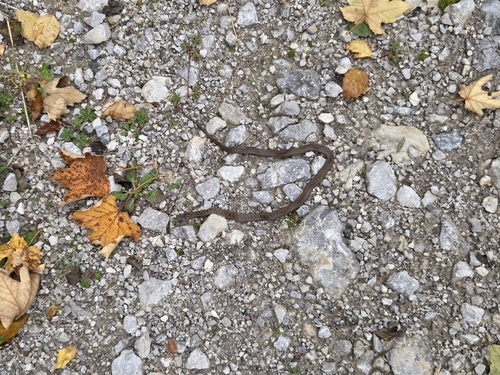
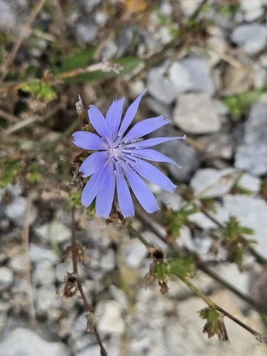
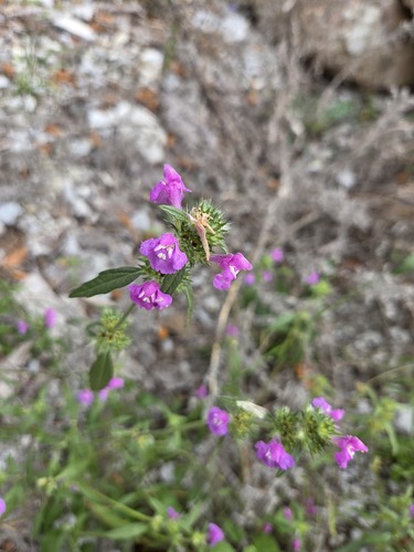


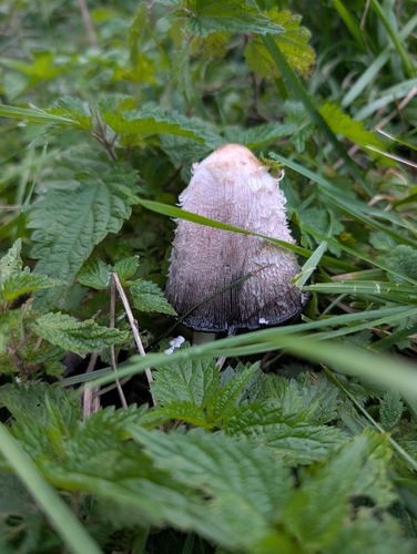
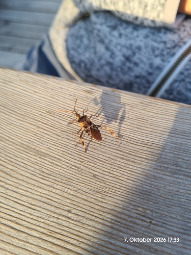
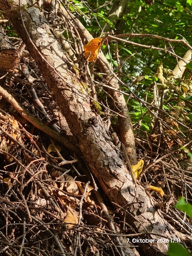

Research-grade observations from iNaturalist (within ~15 mi).
Events
Gallery
Geotagged photos within ~6 miles of Grinzens, from Wikimedia Commons contributors.
.jpg) 0 mi
0 mi.jpg) 0 mi
0 mi.jpg) 0.1 mi
0.1 mi.jpg) 0.1 mi
0.1 mi.jpg) 0.1 mi
0.1 mi.jpg) 0.1 mi
0.1 mi.jpg) 0.1 mi
0.1 mi.jpg) 0.1 mi
0.1 mi.jpg) 0.1 mi
0.1 mi.jpg) 0.1 mi
0.1 mi.jpg) 0.1 mi
0.1 mi.jpg) 0.1 mi
0.1 mi.jpg) 0.1 mi
0.1 mi.jpg) 0.1 mi
0.1 mi 0.2 mi
.jpg) 0.2 mi
0.2 mi.jpg) 0.2 mi
0.2 mi.jpg) 0.2 mi
0.2 mi.jpg) 0.2 mi
0.2 mi.jpg) 0.2 mi
0.2 mi.jpg) 0.2 mi
0.2 mi 0.3 mi
 0.3 mi
.jpg) 0.3 mi
0.3 miPhotos via Wikimedia Commons — see each image page for license & attribution.
Official Identifiers
Statistik Austria
- GKZ
- 70315
- Population (Wikidata)
- 1,410
- Wikidata
- Q288102
Gemeindekennziffer via Wikidata P964
Sources
- • Wikipedia
- • Open-Meteo (ERA5 reanalysis)
- • Wikimedia Commons
- • Wikidata
- • Open-Meteo Air Quality (CAMS)
- • USGS Earthquake Catalog (global feed)
- • GBIF (Global Biodiversity Information Facility)
- • iNaturalist
- • Open-Meteo / sunrise-sunset.org
- • Wikipedia Pageviews API
- • Statistik Austria — Gemeindekennziffer via Wikidata P964