Browse / Austria / Tyrol / Ranggen
Ranggen
Tyrolvillage

Ranggen
Total population
846
Demographic figures from Statistik Austria. Overview below cites Wikipedia and may reference a different year.
City facts
Facts from Wikidata (CC0).
Overview
Ranggen is a municipality in the district of Innsbruck-Land in the Austrian state of Tyrol located 12 km west of Innsbruck. The location was mentioned as “Fergen” in 1482 for the first time. Ranggen has 17 parts.
Read more on WikipediaHistory & geography
History
In the Middle Ages and early modern times, the Premonstratensian monastery of Wilten (Innsbruck) had significant possessions in Ranggen. It kept its own archive drawer for this under the designation "Lutzlranggen" (from Middle High German lützel, lützelig = small, little), which is linguistically depicted today in the local place of Itzlranggen.
Geography
Ranggen is situated in a hollow of the Inn valley terrace, west of Innsbruck or in the eastern continuation of the Inzinger mountain. The actual Ranggen village area is divided into an outer, upper and lower village. In addition, there are alley-like condensations and hamlets that characterize the image of the cultural landscape. A special feature of the settlement geography is the Ferklehen manor (located on the valley floor near Unterperfuss), whose name is derived from "Fergen", which originally meant the right to look after the Inn ferry at Zirl. After the construction of the Inn bridge (1482), the Fergen right then referred to bridge maintenance. The Rettenbach flows through Ranggen. The highest mountain is the Rangger Köpfl with 1939 m.
Excerpted from the corresponding Wikipedia article (CC BY-SA).
Geography
Coordinates & boundaries from the US Census TIGER/Line shapefiles.
Climate
Air quality
Walkability
Amenities nearby
Wildlife & biodiversity
Most-observed species
- Narrow-leaved RagwortSenecio inaequidens DC. · Magnoliopsida3,484
- Eurasian BlackbirdTurdus merula Linnaeus, 1758 · Aves2,863
- Carrion CrowCorvus corone Linnaeus, 1758 · Aves2,562
- Great TitParus major Linnaeus, 1758 · Aves2,232
- Common ChaffinchFringilla coelebs Linnaeus, 1758 · Aves2,182
- MallardAnas platyrhynchos Linnaeus, 1758 · Aves1,887
- European RobinErithacus rubecula (Linnaeus, 1758) · Aves1,779
- House SparrowPasser domesticus (Linnaeus, 1758) · Aves1,754
Citizen-science & research observations from the Global Biodiversity Information Facility (GBIF).
Earthquake history
Most recent
- M 2.5 — 2021-10-035 km NNE of Silandro, Italy
- M 3.7 — 2021-08-161 km S of Niederau, Austria
- M 3.6 — 2020-08-085 km SE of Gramais, Austria
- M 3.8 — 2019-10-224 km SE of Ebbs, Austria
- M 3.8 — 2018-02-014 km N of Innerbraz, Austria
- M 4 — 2018-01-172 km NE of Innerbraz, Austria
Events from the USGS Earthquake Catalog (global) (FDSN Event Web Service).
Photos
Sights & places nearby
Notable people from here


People born within ~10 km, from Wikidata (CC0). Click any name for their Wikipedia article.
Nearby places in Tyrol
- Zirl1.8 mi away · pop. 6,796
- Oberperfuss1.9 mi away · pop. 2,712
- Grinzens2.8 mi away · pop. 1,280
- Tanneben3.2 mi away
- Polling in Tirol3.3 mi away · pop. 842
- Mösern4.7 mi away · pop. 344
- Völs5.5 mi away · pop. 6,713
- Leutasch8.4 mi away · pop. 2,140
- Rietz8.8 mi away · pop. 2,017
- Kühtai9.3 mi away · pop. 29
- Medraz10.1 mi away · pop. 1,053
- Mieders10.1 mi away · pop. 1,668
Geography & sun
Elevation, sunrise/sunset and daylight from Open-Meteo. Solar climatology from NASA POWER.
Nearby airports
Public attention
Pageview totals from the Wikimedia Pageviews API.
Books about Ranggen
Search results from Open Library.
Recent natural events nearby
Ground air-quality sensors
Recently spotted species
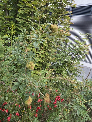
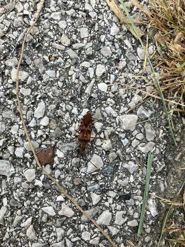
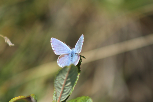
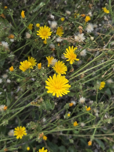
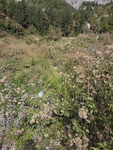
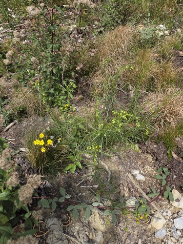
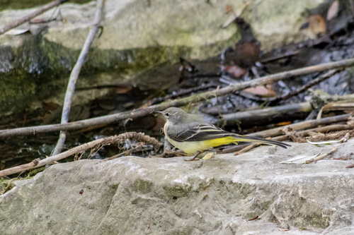
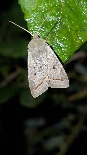
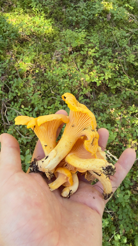
Research-grade observations from iNaturalist (within ~15 mi).
Events
Gallery
Official Identifiers
Statistik Austria
- GKZ
- 70343
- Population (Wikidata)
- 1,090
- Wikidata
- Q679443
Gemeindekennziffer via Wikidata P964
Sources
- • Wikipedia
- • Wikidata
- • USGS Earthquake Catalog (global feed)
- • GBIF (Global Biodiversity Information Facility)
- • iNaturalist
- • Open-Meteo / sunrise-sunset.org
- • Wikipedia Pageviews API
- • Open Library
- • Statistik Austria — Gemeindekennziffer via Wikidata P964