Browse / Austria / Tyrol / Leutasch
Leutasch
Tyrolvillage
Total population
2,140
Demographic figures from Statistik Austria. Overview below cites Wikipedia and may reference a different year.
City facts
Facts from Wikidata (CC0).
Overview
Leutasch is a municipality in the northern part of the district Innsbruck-Land in the Austrian state of Tyrol about 30 km northwest of Innsbruck and 10 km northwest of Seefeld in Tirol
Read more on WikipediaHistory & geography
History
There is no evidence of human settlement in the Leutash area before the middle of the 12th century. The area on the river Leutasch is first mentioned in writing in 1278 in connection with a foundation by the Bavarian nobleman, Bernard of Hausen, to the Upper Bavarian Augustinian monastery of Polling near Weilheim. At about the same time, Wilten Abbey (Stift Wilten) was given estates and rights in this area, although its valleys were probably still completely forested at that time. Soon the first farmsteads and farmsteads were built in forest clearings. In 1294, Count Berchtold III of Eschenlohe, who had no children, sold his counties of Mittenwald and Partenkirchen, together with the Wetterstein, to the Bishop of Freising, whose bishopric was thus elevated to a Hochstift. The Hochstift of Freising merged the newly acquired counties with the predium of Garmisch, acquired in 1249, to form the County of Werdenfels. The first description of the border, in 1305, shows that a part of the Leutasch valley belonged to the County of Werdenfels. In 1312, Duke Henry of Carinthia and Count of Tyrol acquired estates in the Leutasch. In 1338, at the head of the valley above the Leutasch Gorge, 300 metres east of the later Leutascher Schanze, he had a castle built, with an outer and inner bailey and a surrounding moat in a square layout. For theirs protection, Tyrol acquired further estates and the Leutasch Valley went to Tyrol in 1500. The subsequent settlement of the Leutasch Valley was slow but steady: by 1775 about 800 people lived in the valley and the population of Leutasch was recorded as 945 in an official 1826 census. The number of territorial lords also grew over the course of time to include the Tyrolean sovereign and Stams Abbey. These territorial lordships…
Geography
The village lies in the Leutaschtal, a high valley that extends for over 16 kilometres from the Hohe Munde to the northeast along the Wetterstein Mountains and ends at the Leutasch Gorge, which forms the border with Germany at Mittenwald. The valley is framed by other prominent peaks such as the Hochwanner, the Dreitorspitze and the Arnspitze. The valley is a large rock basin formed by glaciers of the Ice Age and filled with gravel and lake sediments. The Leutascher Ache river flows through it. The Gaistal valley leads between the Wetterstein and Mieming Chain to the west to the Ehrwald Alm. Leutasch is protected to the south from the warm föhn and to the north from the cold by the Wetterstein. From the west, snow clouds have easy access through the Gaistal valley. This gives Leutasch very reliable snow conditions, with a mild summer climate at the same time. The settlement extends along the road in numerous hamlets. Leutasch was much more influenced by agriculture than the neighbouring region around Seefeld and was therefore able to preserve a cultural landscape of meadows and pastures with wetlands to the present day.
Excerpted from the corresponding Wikipedia article (CC BY-SA).
Geography
Coordinates & boundaries from the US Census TIGER/Line shapefiles.
Climate
Air quality
Walkability
Amenities nearby
Wildlife & biodiversity
Most-observed species
- Eurasian BlackbirdTurdus merula Linnaeus, 1758 · Aves2,624
- Narrow-leaved RagwortSenecio inaequidens DC. · Magnoliopsida2,621
- Carrion CrowCorvus corone Linnaeus, 1758 · Aves2,337
- Common ChaffinchFringilla coelebs Linnaeus, 1758 · Aves2,106
- Great TitParus major Linnaeus, 1758 · Aves2,090
- Yellow-billed ChoughPyrrhocorax graculus (Linnaeus, 1766) · Aves1,996
- MallardAnas platyrhynchos Linnaeus, 1758 · Aves1,692
- European RobinErithacus rubecula (Linnaeus, 1758) · Aves1,656
Citizen-science & research observations from the Global Biodiversity Information Facility (GBIF).
Earthquake history
Most recent
- M 3.1 — 2026-10-091 km NW of Mühlau, Austria
- M 3.5 — 2026-09-260 km NNW of Baumkirchen, Austria
- M 2.5 — 2021-10-035 km NNE of Silandro, Italy
- M 3.7 — 2021-08-161 km S of Niederau, Austria
- M 3.6 — 2020-08-085 km SE of Gramais, Austria
- M 3.8 — 2019-10-224 km SE of Ebbs, Austria
Events from the USGS Earthquake Catalog (global) (FDSN Event Web Service).
Photos
Sights & places nearby
Notable people from here


People born within ~10 km, from Wikidata (CC0). Click any name for their Wikipedia article.
Nearby places in Tyrol
- Mösern4.1 mi away · pop. 344
- Ranggen8.4 mi away · pop. 846
- Untermieming9 mi away · pop. 515
- Oberperfuss10 mi away · pop. 2,712
- Ehrwald10.6 mi away · pop. 2,554
- Grinzens11.1 mi away · pop. 1,280
- Obsteig11.3 mi away · pop. 1,099
- Tanneben11.6 mi away
- Kühtai12.2 mi away · pop. 29
- Haiming14.5 mi away · pop. 3,954
- Aldrans16.5 mi away · pop. 2,015
- Sistrans17.1 mi away · pop. 1,836
Geography & sun
Elevation, sunrise/sunset and daylight from Open-Meteo. Solar climatology from NASA POWER.
Nearby airports
Public attention
Pageview totals from the Wikimedia Pageviews API.
Books about Leutasch

Search results from Open Library.
Recent natural events nearby
Ground air-quality sensors
Recently spotted species
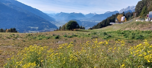
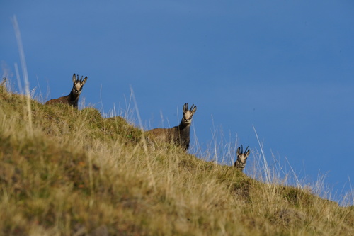
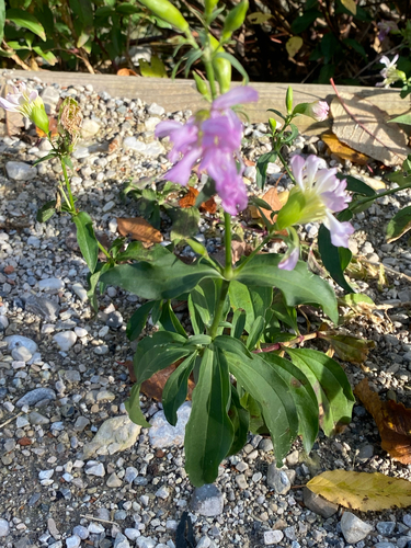
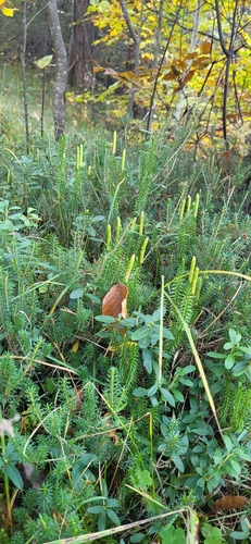
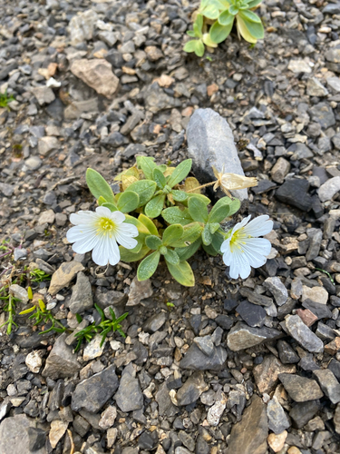
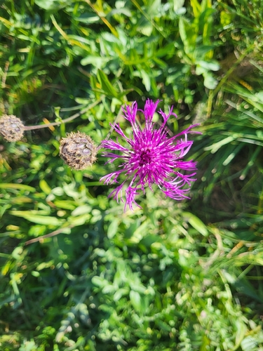
Research-grade observations from iNaturalist (within ~15 mi).
Events
Gallery
Official Identifiers
Statistik Austria
- GKZ
- 70326
- Population (Wikidata)
- 2,380
- Wikidata
- Q665186
Gemeindekennziffer via Wikidata P964
Sources
- • Wikipedia
- • Wikidata
- • USGS Earthquake Catalog (global feed)
- • GBIF (Global Biodiversity Information Facility)
- • iNaturalist
- • Open-Meteo / sunrise-sunset.org
- • Wikipedia Pageviews API
- • Open Library
- • Statistik Austria — Gemeindekennziffer via Wikidata P964