Browse / Austria / Tyrol / Unterperfuss
Unterperfuss
Tyrolvillage

Unterperfuss
Total population
212
Demographic figures from Statistik Austria. Overview below cites Wikipedia and may reference a different year.
City facts
Facts from Wikidata (CC0).
Overview
Unterperfuss is a municipality in the district of Innsbruck-Land in the Austrian state of Tyrol located 15 km west of Innsbruck and is one of the smallest villages of Tyrol. The area is restricted in the north by the Inn River and in the east by the Melach River. Unterperfuss has many facilities for horse-riding.
Read more on WikipediaHistory & geography
History
Unterperfuss became its own tax municipality in 1780. In the cadastre of that time, eleven houses are listed, ten of which were farms that were subject to the Stams monastery. There were also two mills and a sawmill. Forests are mentioned as community property, which were reserved for water protection structures on the Inn and Melach rivers. The family names at that time were Härtnagl, Mayr, Maizner, Wolf, Schiz, Hofer, Schaffenrath, Klaisner, Pranger and Fiz.
Geography
Unterperfuss is located in the Inn Valley, about 15 km west of Innsbruck, opposite Zirl. With an area of two square kilometers and about 200 inhabitants, it is one of the smallest municipalities in Tyrol. The municipal boundaries are formed in the north by the Inn River and in the east by the Melach River, which flows here from the Sellrain Valley.
Excerpted from the corresponding Wikipedia article (CC BY-SA).
Geography
Coordinates & boundaries from the US Census TIGER/Line shapefiles.
Climate
Air quality
Walkability
Amenities nearby
Wildlife & biodiversity
Earthquake history
Photos
Sights & places nearby
Notable people from here
Nearby places in Tyrol
- Oberperfuss1.2 mi away · pop. 2,712
- Grinzens2.1 mi away · pop. 1,280
- Ranggen2.2 mi away · pop. 846
- Tanneben3.7 mi away
- Mösern6.2 mi away · pop. 344
- Mieders8.5 mi away · pop. 1,668
- Schönberg im Stubaital8.5 mi away · pop. 1,008
- Aldrans8.9 mi away · pop. 2,015
- Medraz9 mi away · pop. 1,053
- Leutasch9.4 mi away · pop. 2,140
- Kampl10 mi away
- Thaur10.4 mi away · pop. 3,711
Geography & sun
Elevation, sunrise/sunset and daylight from Open-Meteo. Solar climatology from NASA POWER.
Nearby airports
Public attention
Pageview totals from the Wikimedia Pageviews API.
Books about this place
Recent natural events nearby
Ground air-quality sensors
Recently spotted species
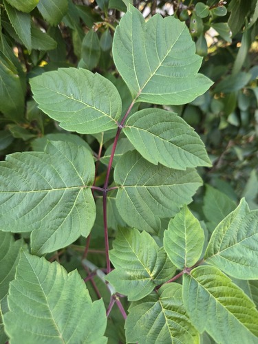
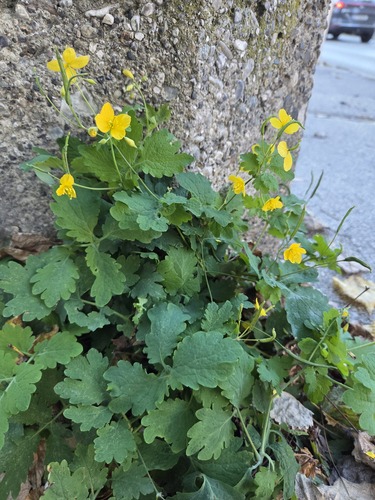
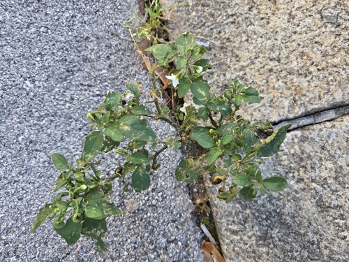
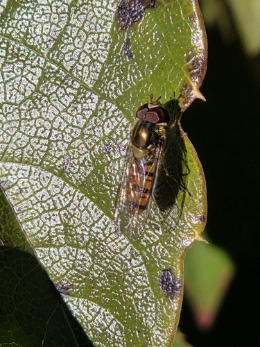
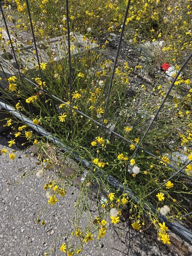
Research-grade observations from iNaturalist (within ~15 mi).
Events
Gallery
Official Identifiers
Statistik Austria
- GKZ
- 70361
- Population (Wikidata)
- 222
- Wikidata
- Q692460
Gemeindekennziffer via Wikidata P964
Sources
- • Wikipedia
- • Wikidata
- • iNaturalist
- • Open-Meteo / sunrise-sunset.org
- • Wikipedia Pageviews API
- • Statistik Austria — Gemeindekennziffer via Wikidata P964