Browse / Australia / Queensland / Bauple
Bauple
Queenslandhamlet

Bauple
Demographic figures from Australian Bureau of Statistics. Overview below cites Wikipedia and may reference a different year.
City facts
Overview
Bauple is a rural town and locality in the Fraser Coast Region, Queensland, Australia. In the 2021 census, the locality of Bauple had a population of 745 people.
Read more on WikipediaHistory & geography
History
The town was originally called Raby but the name was changed to Bauple on 20 November 1896, named after Mount Bauple. Bauple is believed to be derived from an Aboriginal word baupval in the Kabi language referring to a frilled lizard. In the Dreamtime, the spirit of the lizard guarded the sacred place on the mountain where stone axes were obtained. In 1858, bauple nuts were discovered in Bauple; they are known locally as Bauple nuts or Queensland nuts, but internationally as macadamia nuts. Mount Bauple Provisional School opened on 7 February 1887. In 1888, it renamed Mount Bopple Provisional School. On 1 January 1909, it became Mount Bopple State School. It closed in September 1928 due to low student numbers. It reopened in March 1931, but and closed permanently on 10 February 1933. The Mount Bauple sugar mill was established in 1896; it was the largest in the district. There were cane tramways to deliver the harvested sugarcane to the mill at 26 Mill Street (). The mill closed in 1951, as the sugarcane was then being sent to mills in Nambour and Maryborough. Rossendale State School opened on 28 January 1919 and closed in 1962. It was on the southern side of Bauple Drive (); St Mark's Anglican Church was dedicated on 5 March 1926 by Archdeacon Glover. It closed circa 1979. On Sunday 11 March 1928, Archbishop James Duhig officially opened and dedicated a Catholic church in Bauple. The timber church was built in the pointed Gothic style. It was and could seat 100 people. The architect was P.O.E. Hawkes of Maryborough and the contractors were Walter Oscar Nielsen and Mr Jorgensen. The church subsequently closed and was privately owned. Later it was purchased for use as the Lighthouse Christian Church. The school building was the relocated former Boonooroo State…
Geography
Bauple is principally flat farming land (elevation 50 metres). * Guyra Mountain in the west of the locality () * Mount Bauple in the west of the locality () The town is located centrally within the locality. The Bruce Highway passes through the location from south to north, bypassing the town to the east. The town is now accessed Bauple Drive, the former route of the Bruce Highway before the town was bypassed. Sugarcane is the major crop in the area.
Excerpted from the corresponding Wikipedia article (CC BY-SA).
Geography
Coordinates & boundaries from the US Census TIGER/Line shapefiles.
Climate
Air quality
Walkability
Amenities nearby
Wildlife & biodiversity
Most-observed species
- Ranoidea caerulea (White, 1790)Ranoidea caerulea (White, 1790) · Amphibia210
- Rainbow LorikeetTrichoglossus haematodus (Linnaeus, 1771) · Aves175
- eastern grey kangarooMacropus giganteus Shaw, 1790 · Mammalia173
- Torresian CrowCorvus orru Bonaparte, 1850 · Aves169
- Lewin's HoneyeaterMeliphaga lewinii (Swainson, 1837) · Aves155
- Laughing KookaburraDacelo novaeguineae (Hermann, 1783) · Aves142
- Yellow-tailed black-cockatooZanda funerea (Shaw, 1794) · Aves139
- Yellow-footed antechinusAntechinus flavipes (Waterhouse, 1838) · Mammalia139
Citizen-science & research observations from the Global Biodiversity Information Facility (GBIF).
Earthquake history
Most recent
- M 4.9 — 2025-08-1512 km ESE of Cherbourg, Australia
Events from the USGS Earthquake Catalog (global) (FDSN Event Web Service).
Photos
Sights & places nearby
Notable people from here


People born within ~10 km, from Wikidata (CC0). Click any name for their Wikipedia article.
Nearby places in Queensland
- Tiaro6.3 mi away · pop. 472
- Theebine10.2 mi away
- Neerdie15.6 mi away
- Big Tuan18.5 mi away
- Aldershot24.4 mi away · pop. 603
- Cooloola Cove25.8 mi away
- Wolvi27.4 mi away
- Rainbow Beach30 mi away · pop. 1,176
- Kilkivan30.2 mi away · pop. 429
- Torbanlea32.4 mi away · pop. 428
- Kin Kin34.9 mi away · pop. 173
- Hervey Bay38.5 mi away
Geography & sun
Elevation, sunrise/sunset and daylight from Open-Meteo. Solar climatology from NASA POWER.
Nearby airports
Public attention
Pageview totals from the Wikimedia Pageviews API.
Books about this place
Recent natural events nearby
Ground air-quality sensors
Recently spotted species
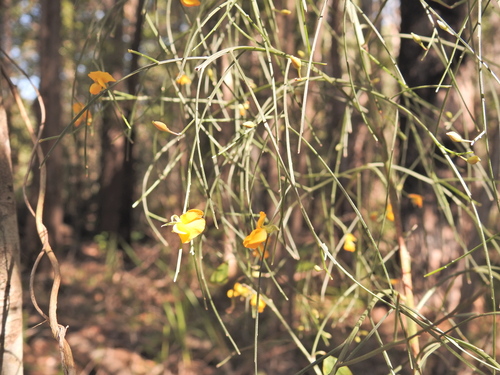
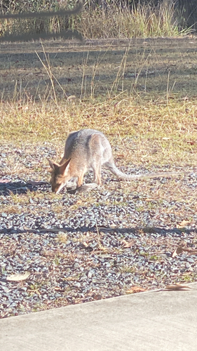
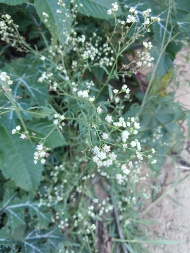
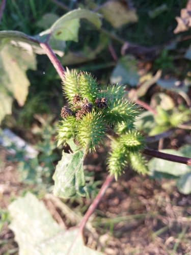
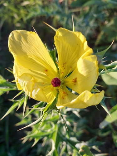
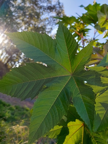
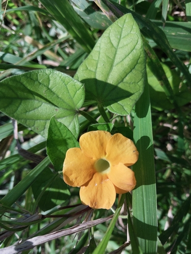
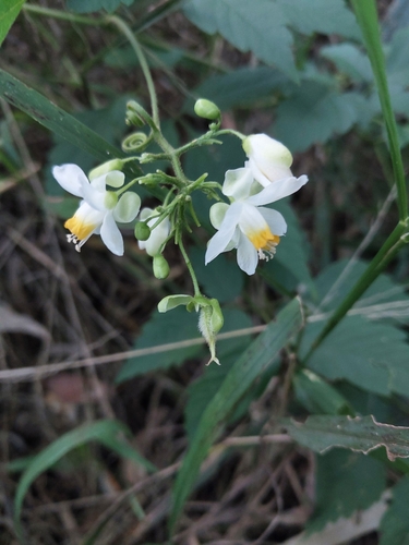
Research-grade observations from iNaturalist (within ~15 mi).
Events
Gallery
Geotagged photos within ~6 miles of Bauple, from Wikimedia Commons contributors.
 0.2 mi
 1.8 mi
 2 mi
2 mi 2 mi
2 mi 2.9 mi
 2.9 mi
 3.6 mi
 3.8 mi
 4.1 mi
 4.1 mi
 4.1 mi
 4.1 mi
 4.3 mi
.jpg) 4.3 mi
4.3 mi 5 mi
5 mi 5 mi
5 mi 5 mi
5 mi 5 mi
5 mi 5 mi
5 mi 5 mi
5 mi 5 mi
5 mi 5 mi
5 mi 5.1 mi
 5.1 mi
Photos via Wikimedia Commons — see each image page for license & attribution.
Sources
- • Wikipedia
- • Wikimedia Commons
- • Wikidata
- • USGS Earthquake Catalog (global feed)
- • GBIF (Global Biodiversity Information Facility)
- • iNaturalist
- • Open-Meteo / sunrise-sunset.org
- • Wikipedia Pageviews API