Browse / Australia / Queensland / Biggenden
Biggenden
Queenslandtown

Biggenden
Total population
657
Demographic figures from Australian Bureau of Statistics. Overview below cites Wikipedia and may reference a different year.
City facts
Facts from Wikidata (CC0).
Overview
Biggenden is a rural town and locality in the North Burnett Region, Queensland, Australia. In the 2021 census, the locality of Biggenden had a population of 788 people.
Read more on WikipediaHistory & geography
History
The name is derived from the Kabi word bigindhan meaning a place of stringybark. Biggenden Provisional school opened on 9 May 1892 becoming Biggenden State School in 1900. In January 1953, the school experimented with offering high school subjects by correspondence. In 1958, a secondary school section was added. The Biggenden Methodist Church opened on Monday 23 May 1910. In 1939, a church hall was established, using the Methodist Church building established in Woowoonga in 1919, which had formerly been the Methodist church in Mount Perry, built in 1872. In 1977 through the amalgamation that created the Uniting Church in Australia, it became Biggenden Uniting Church. In June 1926, a meeting of local women decided to establish a branch of the Queensland Country Women's Association. In October 1928, the Biggenden branch's building was officially opened by J.C. Robertson, chairman of the Degilbo Shire Council. The Mt Biggenden mine provided employment to the local community for over a hundred years, before its magnetite iron ore operation closed in 1999.
Geography
Biggenden is on the Isis Highway north-west of the state capital Brisbane, and west of Maryborough.
Excerpted from the corresponding Wikipedia article (CC BY-SA).
Geography
Coordinates & boundaries from the US Census TIGER/Line shapefiles.
Climate
Air quality
Walkability
Amenities nearby
Wildlife & biodiversity
Most-observed species
- Torresian CrowCorvus orru Bonaparte, 1850 · Aves83
- Australian MagpieGymnorhina tibicen (Latham, 1802) · Aves68
- Rainbow LorikeetTrichoglossus haematodus (Linnaeus, 1771) · Aves52
- Lewin's HoneyeaterMeliphaga lewinii (Swainson, 1837) · Aves47
- Willie-wagtailRhipidura leucophrys (Latham, 1802) · Aves47
- Bar-shouldered DoveGeopelia humeralis (Temminck, 1821) · Aves44
- Striated PardalotePardalotus striatus (Gmelin, 1789) · Aves43
- Laughing KookaburraDacelo novaeguineae (Hermann, 1783) · Aves41
Citizen-science & research observations from the Global Biodiversity Information Facility (GBIF).
Earthquake history
Most recent
- M 4.9 — 2025-08-1512 km ESE of Cherbourg, Australia
- M 4.9 — 2015-02-1542 km N of Mundubbera, Australia
- M 4.4 — 2004-01-1627 km SE of Monto, Australia
Events from the USGS Earthquake Catalog (global) (FDSN Event Web Service).
Photos
Sights & places nearby
Notable people from here
Nearby places in Queensland
- Degilbo3.4 mi away
- Dallarnil8.8 mi away
- Byrnestown17.8 mi away
- Apple Tree Creek22.9 mi away · pop. 574
- Childers23.9 mi away · pop. 1,361
- Ideraway26.9 mi away
- Mount Perry33.8 mi away · pop. 250
- Mungar34.5 mi away
- Howard34.8 mi away · pop. 1,042
- Gin Gin36.2 mi away
- Torbanlea36.2 mi away · pop. 428
- Tiaro36.7 mi away · pop. 472
Geography & sun
Elevation, sunrise/sunset and daylight from Open-Meteo. Solar climatology from NASA POWER.
Nearby airports
Public attention
Pageview totals from the Wikimedia Pageviews API.
Books about Biggenden
Search results from Open Library.
Recent natural events nearby
Ground air-quality sensors
Recently spotted species
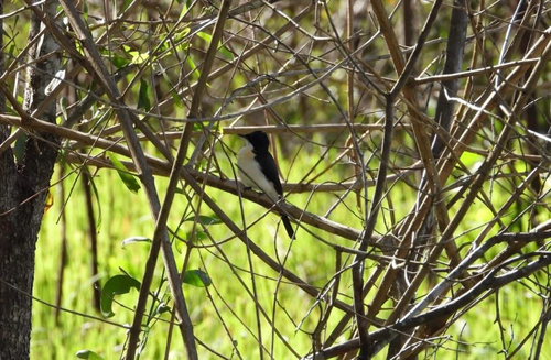
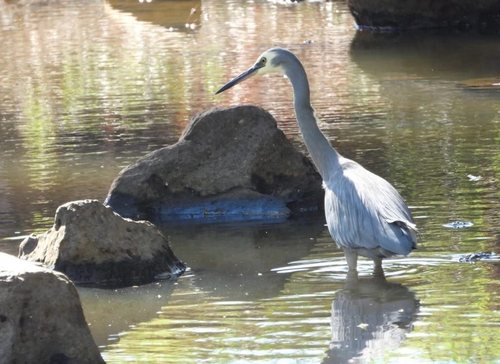
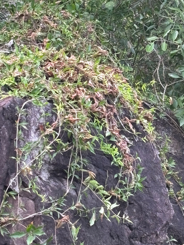
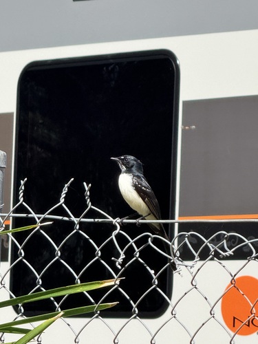
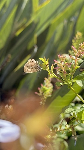
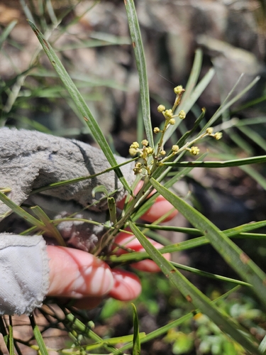
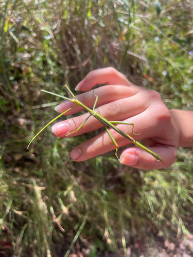
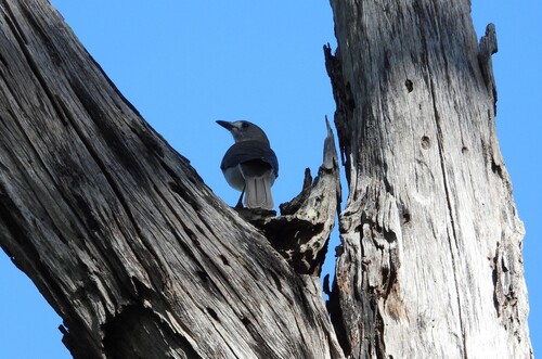
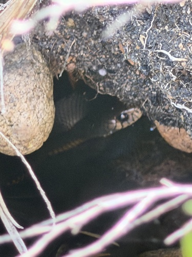
Research-grade observations from iNaturalist (within ~15 mi).
Events
Gallery
Geotagged photos within ~6 miles of Biggenden, from Wikimedia Commons contributors.

.jpg)
.jpg)


Photos via Wikimedia Commons — see each image page for license & attribution.
Sources
- • Wikipedia
- • Wikimedia Commons
- • Wikidata
- • USGS Earthquake Catalog (global feed)
- • GBIF (Global Biodiversity Information Facility)
- • iNaturalist
- • Open-Elevation
- • Open-Meteo / sunrise-sunset.org
- • Wikipedia Pageviews API
- • Open Library