Browse / Australia / Queensland / Boonah
Boonah
Queenslandtown

Boonah
Total population
2,721
Demographic figures from Australian Bureau of Statistics. Overview below cites Wikipedia and may reference a different year.
City facts
Facts from Wikidata (CC0).
Overview
Boonah is a rural town and locality in the Scenic Rim Region, Queensland, Australia. In the 2021 census, the locality of Boonah had a population of 2,557 people.
Read more on WikipediaHistory & geography
History
Ugarapul the Aboriginal language of South-East Queensland.the name and dialect of a clan that is used within the local government boundaries of City of Ipswich, Lockyer Valley Region and Somerset Region. The history of Boonah township is connected to the nearby settlement of Dugandan which was named after the Dugandan pastoral run that was taken up in August 1844 by Macquarie McDonald and his brother Campbell Livingstone McDonald. Dugandan was one of the earliest pastoral holdings in Queensland. In its early years the area was stocked with sheep but the region was discovered to be well suited for cattle and over time became renowned for the quality of its beef and dairy herds. In 1873, part of the Coochin Coochin pastoral run was acquired by Frederick Macarthur Bowman who named his property Denelgin. Frederick Bowman took advantage of the suitability of the area for cattle and is considered one of the dairying pioneers of the region. Variously known as Dugandan Scrub and Blumbergville, Boonah was also positioned within the boundaries of the early Dugandan property. Following the introduction of the Crown Lands Alienation Act of 1868 and the subdivision of the large pastoral runs, the settlement fell within the boundaries of a new 320 acre property acquired by John Hooper in 1878. As late as 1888, the courts of petty sessions were described as occurring at "Boonah, otherwise known as Blumbergville". The Dugandan Provisional School opened on 15 July 1878 between Dugandan Scrub and Dugandan Flats next to the Teviot Brook on land which would eventually fall within the boundaries of the Blumbergville/Boonah township. (A separate Dugandan State School operated between 1917 and 1966 in Dugandan). The Fassifern railway line (Queensland's first branch railway line) opened…
Geography
The town is positioned near the Fassifern Valley, McPherson Range and Main Range. It is surrounded by hills, including Mount French and other Moogerah Peaks. Frog Buttress is a popular rock climbing cliff on the north-west side of Mount French. The Wyaralong Dam was constructed east of Boonah on Teviot Brook, a tributary of the Logan River. At full supply level, water would have inundated parts of the road connecting Boonah and Beaudesert, so a new section of road has been built. Water for the town is supplied from Lake Moogerah on Reynold's Creek, a tributary of the Bremer River. Maroon Dam is another reservoir built south of Boonah at the base of the McPherson Range. State Route 93, a road with two names, runs through the locality, entering from the north as Ipswich–Boonah Road (Coronation Drive in the town) and exiting to the south as Boonah–Rathdowney Road (Yeates Avenue). Boonah–Fassifern Road (State Route 90) exits to the west from its junction with the other roads.
Excerpted from the corresponding Wikipedia article (CC BY-SA).
Geography
Coordinates & boundaries from the US Census TIGER/Line shapefiles.
Climate
Air quality
Walkability
Amenities nearby
Wildlife & biodiversity
Most-observed species
- Torresian CrowCorvus orru Bonaparte, 1850 · Aves1,230
- Willie-wagtailRhipidura leucophrys (Latham, 1802) · Aves1,162
- Australian MagpieGymnorhina tibicen (Latham, 1802) · Aves1,076
- Magpie-larkGrallina cyanoleuca (Latham, 1802) · Aves1,008
- Brown HoneyeaterLichmera indistincta (Vigors & Horsfield, 1827) · Aves889
- Noisy MinerManorina melanocephala (Latham, 1801) · Aves889
- Welcome SwallowHirundo neoxena Gould, 1842 · Aves875
- Superb FairywrenMalurus cyaneus (Ellis, 1782) · Aves849
Citizen-science & research observations from the Global Biodiversity Information Facility (GBIF).
Earthquake history
Events from the USGS Earthquake Catalog (global) (FDSN Event Web Service).
Photos
Sights & places nearby
Notable people from here


People born within ~10 km, from Wikidata (CC0). Click any name for their Wikipedia article.
Nearby places in Queensland
- Roadvale5.5 mi away
- Mount Alford7.2 mi away
- Aratula8.2 mi away · pop. 553
- Warrill View12.7 mi away
- Harrisville12.9 mi away · pop. 490
- Peak Crossing15 mi away · pop. 498
- Laravale16.7 mi away
- Mount Walker18.3 mi away
- Willowbank23.4 mi away · pop. 1,300
- Ipswich26.8 mi away
- Grandchester26.8 mi away
- Mulgowie26.9 mi away
Geography & sun
Elevation, sunrise/sunset and daylight from Open-Meteo. Solar climatology from NASA POWER.
Nearby airports
Public attention
Pageview totals from the Wikimedia Pageviews API.
Books about this place
Recent natural events nearby
Ground air-quality sensors
Recently spotted species
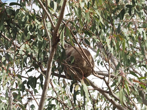
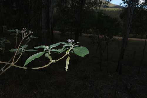
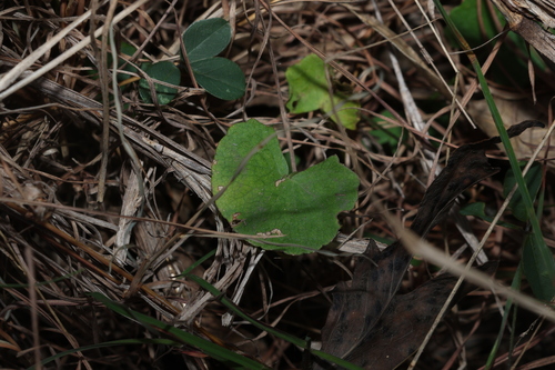
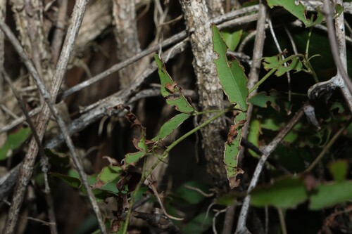
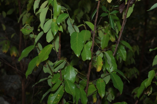
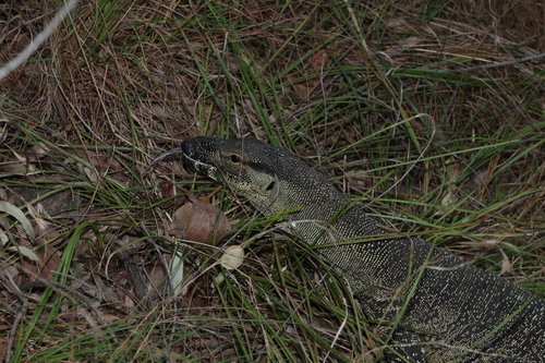
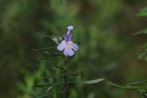
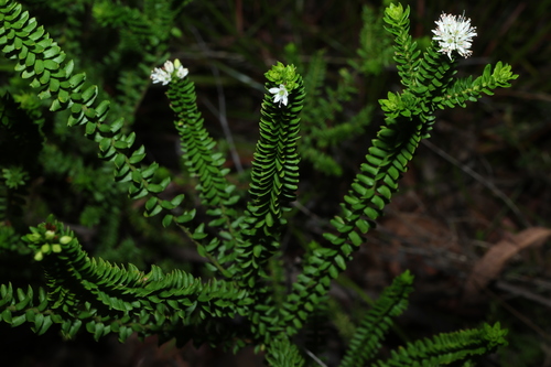
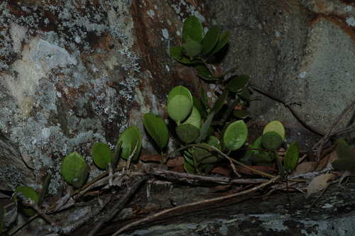
Research-grade observations from iNaturalist (within ~15 mi).
Events
Gallery
Geotagged photos within ~6 miles of Boonah, from Wikimedia Commons contributors.
 0 mi
0 mi 0 mi
0 mi 0 mi
0 mi 0 mi
0 mi 0 mi
0 mi 0 mi
0 mi 0 mi
0 mi 0 mi
0 mi 0 mi
0 mi_of_Boonah_(formerly_Blumbergville),_2020.jpg) 0 mi
0 mi,_Boonah,_2020_02.jpg) 0 mi
0 mi,_Boonah,_2020_03.jpg) 0 mi
0 mi%22_celebrating_a_century_of_commerce,_2020.jpg) 0 mi
0 mi 0 mi
0 mi 0 mi
0 mi 0 mi
0 mi 0 mi
0 mi 0 mi
0 mi 0 mi
0 mi 0.1 mi
 0.1 mi
 0.1 mi
 0.1 mi
 0.1 mi
Photos via Wikimedia Commons — see each image page for license & attribution.
Sources
- • Wikipedia
- • Wikimedia Commons
- • Wikidata
- • USGS Earthquake Catalog (global feed)
- • GBIF (Global Biodiversity Information Facility)
- • iNaturalist
- • Open-Meteo / sunrise-sunset.org
- • Wikipedia Pageviews API