Browse / Australia / Queensland / Harrisville
Harrisville
Queenslandtown

Harrisville
Total population
490
Demographic figures from Australian Bureau of Statistics. Overview below cites Wikipedia and may reference a different year.
City facts
Overview
Harrisville is a rural town and locality in the Scenic Rim Region, Queensland, Australia. In the 2021 census, the locality of Harrisville had a population of 667 people. Harrisville is home to The Fassifern Bombers RLFC and The Fassifern Bombers JRLFC.
Read more on WikipediaHistory & geography
History
In 1839, a survey baseline of was marked out on the floodplain, then known as Normanby Plains, which now forms part of Harrisville, together with Wilsons Plains and Radford to the south. It was supervised by the surveyor Robert Dixon as the basis of a trigonometrical survey starting with Flinders Peak to the east and Mount Walker (then Mount Forbes) to the west, which began the accurate interior mapping of Queensland. A monument to this work "In the Steps of Our Forefathers" is situated just west of the Harrisville township on the Warrill View Peak Crossing Road, along where the baseline passed (). The area formed part of the old Mount Flinders sheep station established by William Wilson (and his brother Robert) around 1844, soon after the Moreton Bay penal colony closed. Some of the land from this station became available to selectors in December 1860 with provision of the Ipswich Agricultural Reserve. In 1863 Robert Dunn selected a portion from this Reserve, from which the Harris brothers purchased their land in 1870. The town is believed to be named after Harris brothers: John Harris (1819–1895) and George Harris (1831–1891) . They established a store and cotton ginnery in the area. Ipswich Reserve State School opened in 1867. In 1887, it was renamed Harrisville State School. In 1891, it was renamed Hillgrove State School, enabling a new school to open on 19 January 1891 under the name Harrisville State School. The new school reduced attendance at the Hillgrove State School and it was demoted to become Hillgrove Provisional School, but returned to state school status in 1894. Hillgrove State School closed in 1932, but, as at 2019, the "new" Harrisville State School continues to operate. On Sunday 27 August 1871, a Wesleyan Methodist church was opened near…
Geography
Warrill Creek, a tributary of the Bremer River, passes through the western parts of the town.
Excerpted from the corresponding Wikipedia article (CC BY-SA).
Geography
Coordinates & boundaries from the US Census TIGER/Line shapefiles.
Climate
Air quality
Walkability
Amenities nearby
Wildlife & biodiversity
Most-observed species
- Torresian CrowCorvus orru Bonaparte, 1850 · Aves2,745
- Australian MagpieGymnorhina tibicen (Latham, 1802) · Aves2,377
- Willie-wagtailRhipidura leucophrys (Latham, 1802) · Aves2,207
- Laughing KookaburraDacelo novaeguineae (Hermann, 1783) · Aves1,884
- Brown HoneyeaterLichmera indistincta (Vigors & Horsfield, 1827) · Aves1,878
- Noisy MinerManorina melanocephala (Latham, 1801) · Aves1,864
- Striated PardalotePardalotus striatus (Gmelin, 1789) · Aves1,862
- Magpie-larkGrallina cyanoleuca (Latham, 1802) · Aves1,846
Citizen-science & research observations from the Global Biodiversity Information Facility (GBIF).
Earthquake history
Events from the USGS Earthquake Catalog (global) (FDSN Event Web Service).
Photos
Sights & places nearby
Notable people from here

People born within ~10 km, from Wikidata (CC0). Click any name for their Wikipedia article.
Nearby places in Queensland
Geography & sun
Elevation, sunrise/sunset and daylight from Open-Meteo. Solar climatology from NASA POWER.
Nearby airports
Public attention
Pageview totals from the Wikimedia Pageviews API.
Books about this place
Recent natural events nearby
Ground air-quality sensors
Recently spotted species
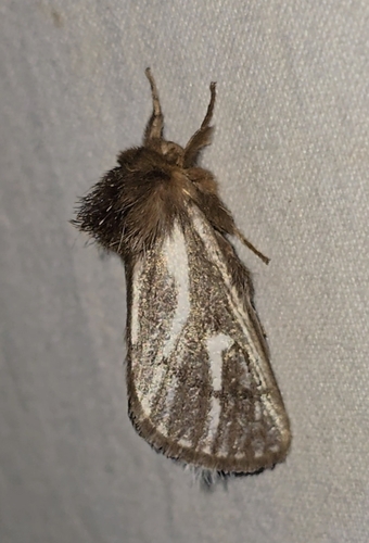
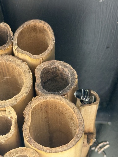
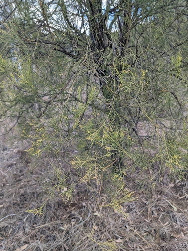
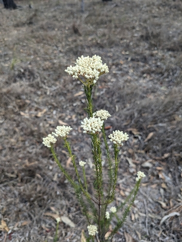
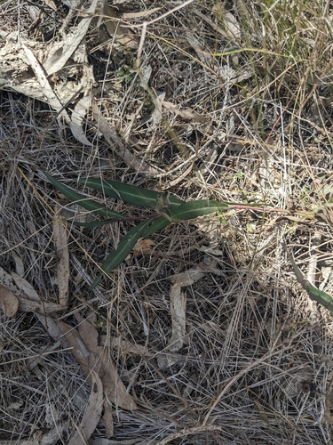
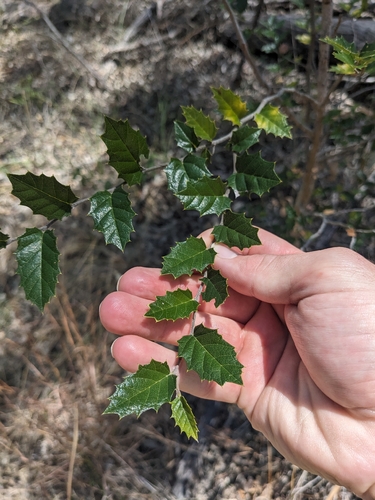
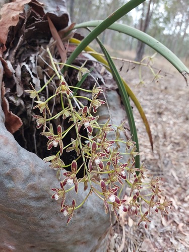
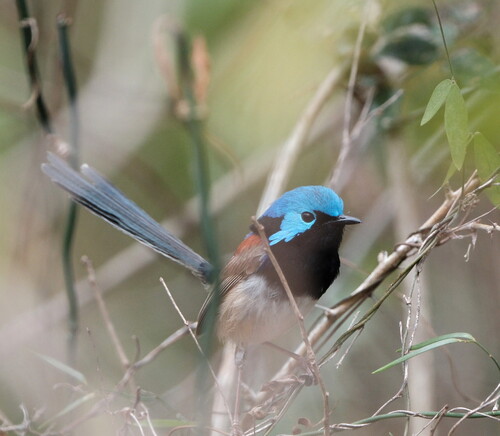
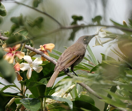
Research-grade observations from iNaturalist (within ~15 mi).
Events
Gallery
Sources
- • Wikipedia
- • Wikidata
- • USGS Earthquake Catalog (global feed)
- • GBIF (Global Biodiversity Information Facility)
- • iNaturalist
- • Open-Meteo / sunrise-sunset.org
- • Wikipedia Pageviews API