Browse / Australia / Queensland / Mount Walker
Mount Walker
Queenslandhamlet

Mount Walker
Demographic figures from Australian Bureau of Statistics. Overview below cites Wikipedia and may reference a different year.
City facts
Overview
Mount Walker is a rural locality in the Scenic Rim Region, Queensland, Australia. In the 2021 census, Mount Walker had a population of 129 people.
Read more on WikipediaHistory & geography
History
The mountain was originally called Mount Forbes by John Oxley in honour of Sir Francis Forbes, the Chief Justice of New South Wales. However, it was later acquired the name Mount Walker. The origins of the name Walker are believed to be a shepherd of that name from the Franklyn Vale pastoral station. The locality takes its name from the mountain. For a time it was the headquarters for the German Baptist churches, until circa 1879 when that responsibility shifted to Engelsburg (now Kalbar) Baptist Church. Mount Walker State School opened on 15 April 1878. It closed in December 1967. It was at 1775 Rosewood Warrill View Road () on a site. Mount Walker Congregational Church opened in 1896. It had closed by 1940. Mount Walker Post Office opened on 1 October 1916 (a receiving office had been open from 1874) and closed in 1957.
Geography
The locality is bounded to the west by the Bremer River. Mount Walker is in the east of the locality (), rising to above sea level. The land on the upper slopes of Mount Walker is undeveloped. Part of from that, the predominant land use is grazing on native vegetation with other areas of irrigated crop growing.
Excerpted from the corresponding Wikipedia article (CC BY-SA).
Geography
Coordinates & boundaries from the US Census TIGER/Line shapefiles.
Climate
Air quality
Walkability
Amenities nearby
Wildlife & biodiversity
Most-observed species
- Torresian CrowCorvus orru Bonaparte, 1850 · Aves1,016
- Australian MagpieGymnorhina tibicen (Latham, 1802) · Aves1,010
- Willie-wagtailRhipidura leucophrys (Latham, 1802) · Aves835
- Noisy MinerManorina melanocephala (Latham, 1801) · Aves799
- Magpie-larkGrallina cyanoleuca (Latham, 1802) · Aves794
- Welcome SwallowHirundo neoxena Gould, 1842 · Aves725
- Rainbow LorikeetTrichoglossus haematodus (Linnaeus, 1771) · Aves703
- Masked LapwingVanellus miles (Boddaert, 1783) · Aves622
Citizen-science & research observations from the Global Biodiversity Information Facility (GBIF).
Earthquake history
Events from the USGS Earthquake Catalog (global) (FDSN Event Web Service).
Photos
Sights & places nearby
Notable people from here
People born within ~10 km, from Wikidata (CC0). Click any name for their Wikipedia article.
Nearby places in Queensland
Geography & sun
Elevation, sunrise/sunset and daylight from Open-Meteo. Solar climatology from NASA POWER.
Nearby airports
Public attention
Pageview totals from the Wikimedia Pageviews API.
Books about Mount Walker
Search results from Open Library.
Recent natural events nearby
Ground air-quality sensors
Recently spotted species
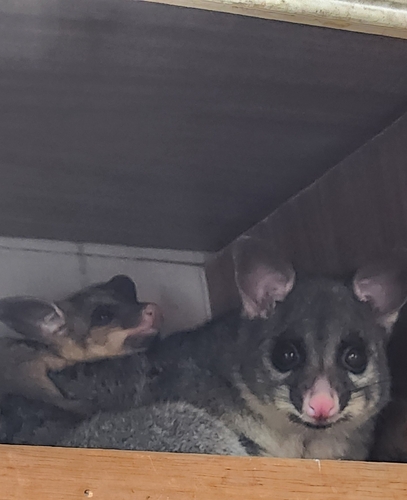
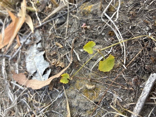
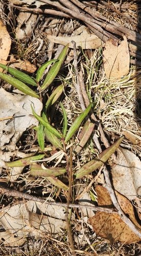
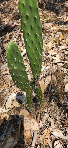
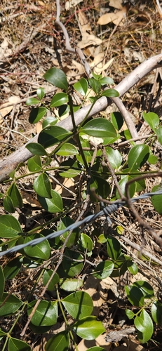
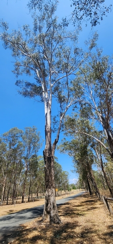
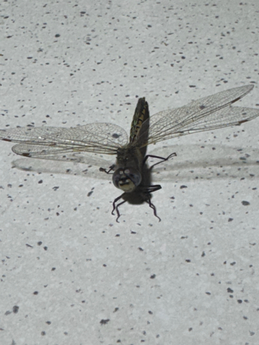
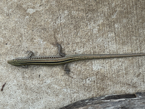
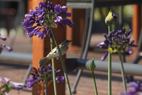
Research-grade observations from iNaturalist (within ~15 mi).
Events
Gallery
Sources
- • Wikipedia
- • Wikidata
- • USGS Earthquake Catalog (global feed)
- • GBIF (Global Biodiversity Information Facility)
- • iNaturalist
- • Open-Meteo / sunrise-sunset.org
- • Wikipedia Pageviews API
- • Open Library