Browse / Australia / Queensland / Brightview
Brightview
Queenslandhamlet

Brightview
Demographic figures from Australian Bureau of Statistics. Overview below cites Wikipedia and may reference a different year.
City facts
Overview
Brightview is a locality split between the Lockyer Valley Region and Somerset Region, Queensland, Australia. In the 2021 census, Brightview had a population of 911 people.
Read more on WikipediaHistory & geography
History
Brightview was originally named Tarampa Flats and then Lobethal. It is thought the present name was the name of a pastoral property owned by Ernest Christian Frederick Beutel. The name Brightview as the local place name is in use from at least July 1906. Tarampa Flat Provisional School opened on 25 November 1902, being renamed Brightview Provisional School in 1906. It became Brightview State School on 1 January 1909. A new school building was erected in 1935. It closed on 11 May 1962. It was at 1060 Brightview Road (). By 1911, an Apostolic congregation was already meeting in Tarampa Flats. In 1914, the Brightview Apostolic Church was erected.
Geography
Brightview is a rural locality. The larger north-eastern part () is in Somerset Region and is mostly used for farming; that part is in the federal electorate of Blair. The smaller south-western part () in Lockyer Valley Region is more residential in character; that part is in the federal electorate of Wright. The northern boundary is Lockyer Creek.
Excerpted from the corresponding Wikipedia article (CC BY-SA).
Geography
Coordinates & boundaries from the US Census TIGER/Line shapefiles.
Climate
Air quality
Walkability
Amenities nearby
Wildlife & biodiversity
Most-observed species
- Magpie-larkGrallina cyanoleuca (Latham, 1802) · Aves3,642
- Willie-wagtailRhipidura leucophrys (Latham, 1802) · Aves3,504
- Pacific Black DuckAnas superciliosa J.F.Gmelin, 1789 · Aves3,499
- Australian MagpieGymnorhina tibicen (Latham, 1802) · Aves3,359
- Torresian CrowCorvus orru Bonaparte, 1850 · Aves3,155
- Masked LapwingVanellus miles (Boddaert, 1783) · Aves3,053
- Australasian GrebeTachybaptus novaehollandiae (Stephens, 1826) · Aves2,946
- Welcome SwallowHirundo neoxena Gould, 1842 · Aves2,657
Citizen-science & research observations from the Global Biodiversity Information Facility (GBIF).
Earthquake history
Events from the USGS Earthquake Catalog (global) (FDSN Event Web Service).
Photos
Sights & places nearby
Notable people from here

People born within ~10 km, from Wikidata (CC0). Click any name for their Wikipedia article.
Nearby places in Queensland
Geography & sun
Nearby airports
Public attention
Books about this place
Recent natural events nearby
Ground air-quality sensors
Recently spotted species
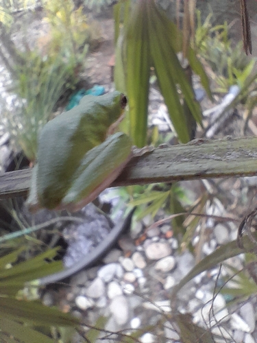
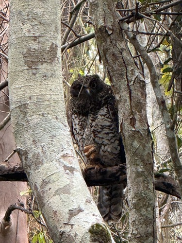
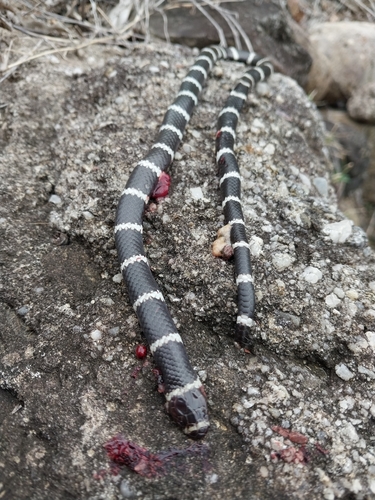
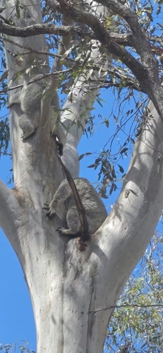
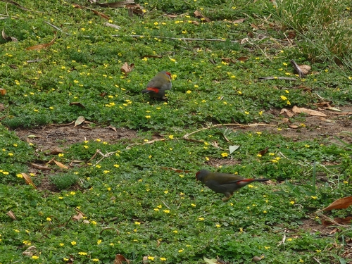
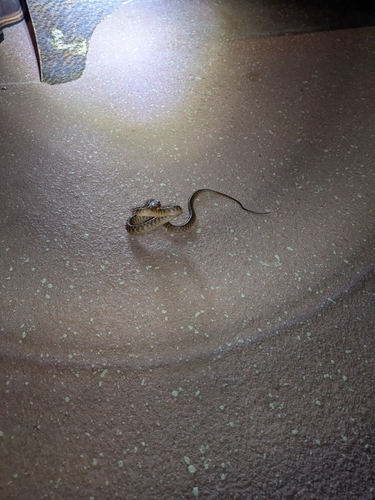
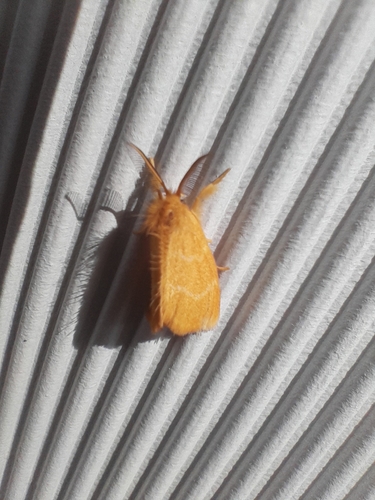
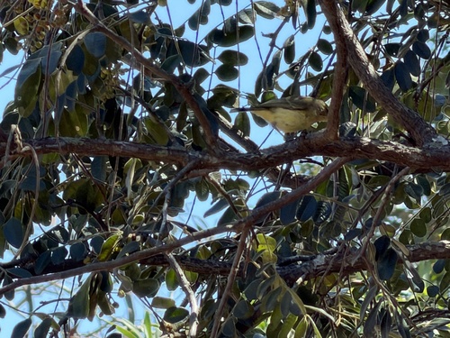
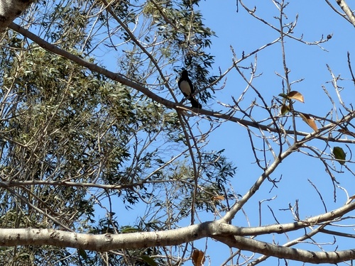
Research-grade observations from iNaturalist (within ~15 mi).
Events
Gallery
Sources
- • Wikipedia
- • Wikidata
- • USGS Earthquake Catalog (global feed)
- • GBIF (Global Biodiversity Information Facility)
- • iNaturalist