Browse / Australia / Queensland / Coleyville
Coleyville
Queenslandhamlet

Coleyville
Demographic figures from Australian Bureau of Statistics. Overview below cites Wikipedia and may reference a different year.
City facts
Overview
Coleyville is a rural locality in the Scenic Rim Region, Queensland, Australia. In the 2021 census, Coleyville had a population of 192 people.
Read more on WikipediaHistory & geography
History
The locality is named after settlers Philemon and Sylvia Coley. in 1866 the couple emigrated from Halesowen, Worcestershire, England, and settled in the area. It was located at 1080 Coleyville Road ().
Geography
In the east of Coleyville elevations rise towards the summit of Mount Walker. Mount Walker Creek, a tributary of Warrill Creek, is the main waterway in the locality. The land, like most parts of the Fassifern Valley, is mainly used for agricultural purposes.
Excerpted from the corresponding Wikipedia article (CC BY-SA).
Geography
Coordinates & boundaries from the US Census TIGER/Line shapefiles.
Climate
Air quality
Walkability
Amenities nearby
Wildlife & biodiversity
Earthquake history
Photos
Sights & places nearby
Notable people from here
People born within ~10 km, from Wikidata (CC0). Click any name for their Wikipedia article.
Nearby places in Queensland
- Mount Walker3.5 mi away
- Harrisville5.7 mi away · pop. 490
- Peak Crossing9.5 mi away · pop. 498
- Roadvale10.4 mi away
- Mulgowie13.9 mi away
- Mount Alford18.3 mi away
- Moogerah19.6 mi away
- Forest Hill19.9 mi away · pop. 418
- Glenore Grove21.4 mi away
- Stanton Cross21.5 mi away
- Colleges Crossing22 mi away
- Lockrose22.6 mi away
Geography & sun
Nearby airports
Public attention
Books about this place
Recent natural events nearby
Ground air-quality sensors
Recently spotted species
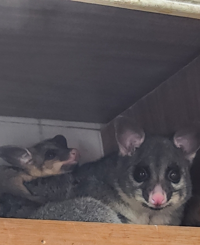
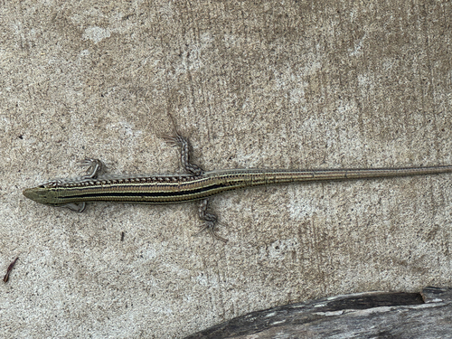
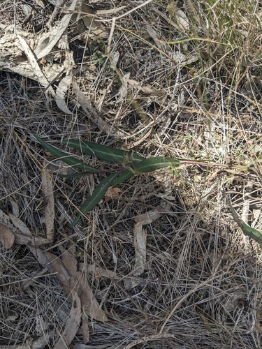
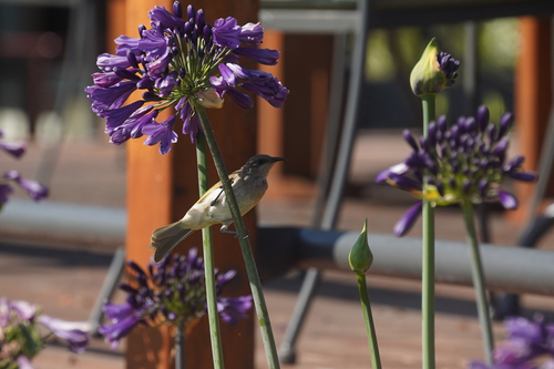
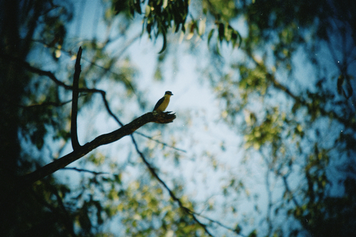
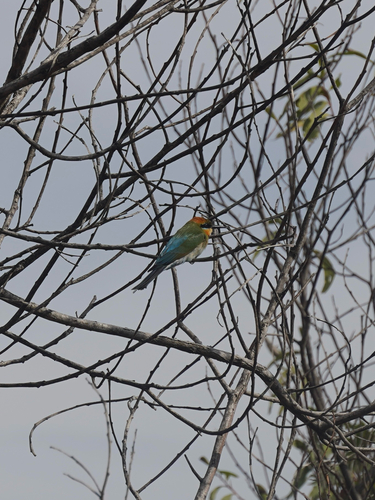
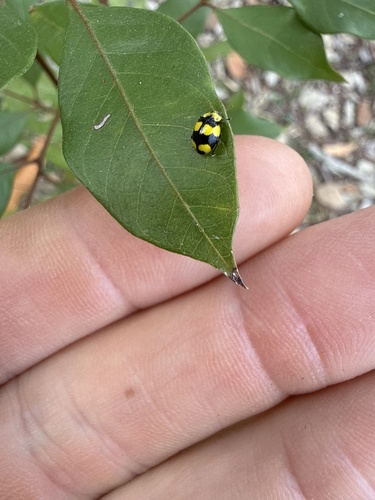
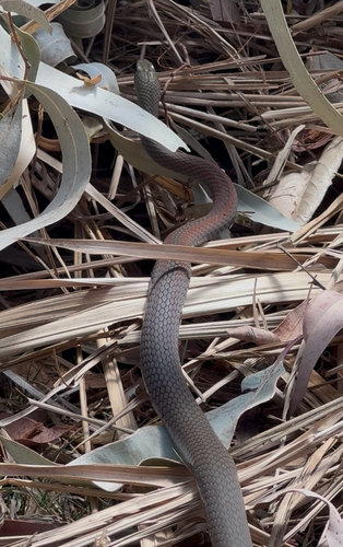
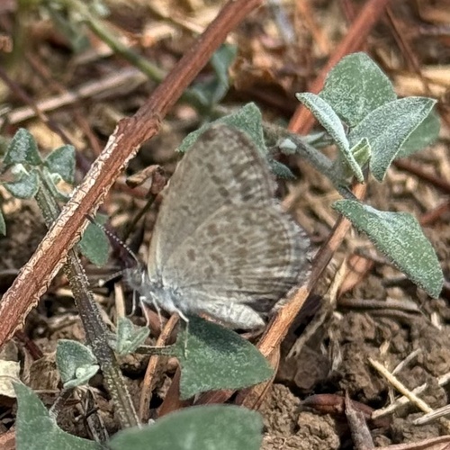
Research-grade observations from iNaturalist (within ~15 mi).
Events
Gallery
Official Identifiers
ABS — Australian Bureau of Statistics
- ASGS 2021
- SAL30647
- Population (Wikidata)
- 185
- Wikidata
- Q19872396
ASGS 2021 ID via Wikidata P10112
Sources
- • Wikipedia
- • Wikidata
- • iNaturalist
- • ABS — Australian Bureau of Statistics — ASGS 2021 ID via Wikidata P10112