Browse / Australia / Queensland / Brooloo
Brooloo
Queenslandvillage

Brooloo
Demographic figures from Australian Bureau of Statistics. Overview below cites Wikipedia and may reference a different year.
City facts
Overview
Brooloo is a rural town and locality in the Gympie Region, Queensland, Australia. In the 2021 census, the locality of Brooloo had a population of 369 people.
Read more on WikipediaHistory & geography
History
The Bluff Provisional School opened in July 1907 under head teacher Samuel B. Bridges. On 1 January 1909, it became The Bluff State School. In May 1915, it was renamed Brooloo State School. It closed in 1970. It was on the western side of the junction of Mary Valley Road and Moy Pocket Road (). Brooloo Hall opened in 1915. Brooloo Post Office opened by June 1915 (a receiving office had been open from March 1914). In 1922, the Brooloo Rail office was renamed Brooloo and replaced the previous office. It closed in 1972.
Geography
The town is located in the hinterland behind the Sunshine Coast, north of the state capital, Brisbane. Mary Valley Road enters the locality from the north-west (Imbil), passes through the town (in the north of the locality), and then exits to the south-east Kenilworth. Brooloo railway station is an abandoned railway station on the now-closed Mary Valley railway line ().
Excerpted from the corresponding Wikipedia article (CC BY-SA).
Geography
Coordinates & boundaries from the US Census TIGER/Line shapefiles.
Climate
Air quality
Walkability
Amenities nearby
Wildlife & biodiversity
Earthquake history
Photos
Sights & places nearby
Notable people from here
Nearby places in Queensland
Geography & sun
Nearby airports
Public attention
Books about this place
Recent natural events nearby
Ground air-quality sensors
Recently spotted species
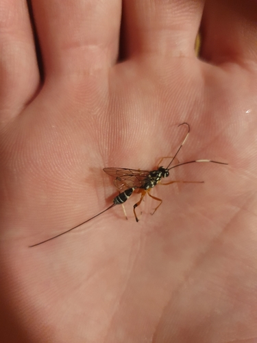
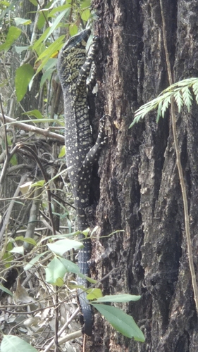
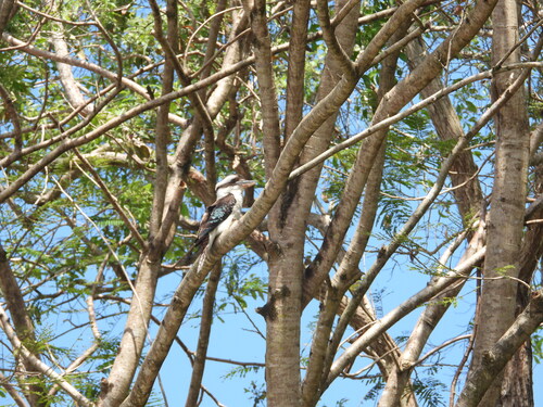
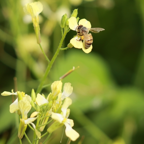
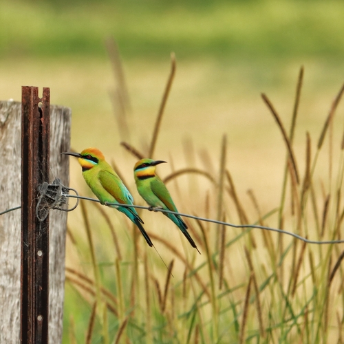
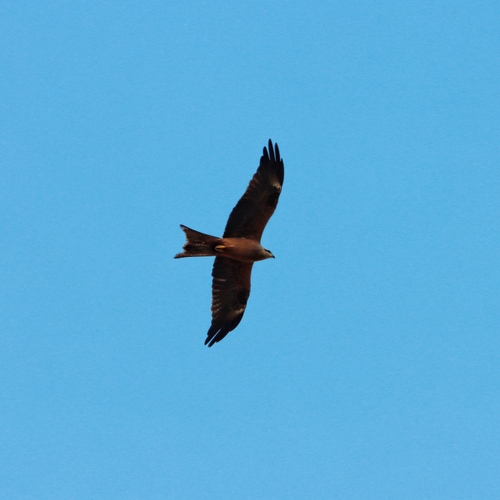
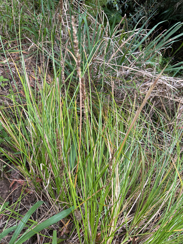
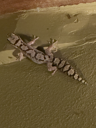
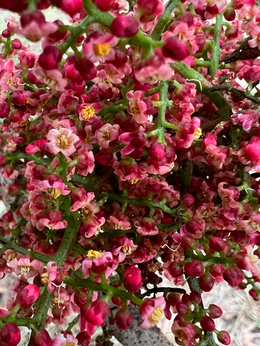
Research-grade observations from iNaturalist (within ~15 mi).
Events
Gallery
Official Identifiers
ABS — Australian Bureau of Statistics
- ASGS 2021
- SAL30391
- Population (Wikidata)
- 348
- Wikidata
- Q4975233
ASGS 2021 ID via Wikidata P10112
Sources
- • Wikipedia
- • Wikidata
- • iNaturalist
- • ABS — Australian Bureau of Statistics — ASGS 2021 ID via Wikidata P10112