Browse / Australia / Queensland / Cecil Plains
Cecil Plains
Queenslandtown

Cecil Plains
Total population
238
Demographic figures from Australian Bureau of Statistics. Overview below cites Wikipedia and may reference a different year.
City facts
Overview
Cecil Plains is a rural town and locality in the Toowoomba Region, Queensland, Australia. In the 2021 census, the locality of Cecil Plains had a population of 380 people.
Read more on WikipediaHistory & geography
History
European settlement in the area began in 1842, when Henry Stuart Russell claimed land around the Condamine River to establish Cecil Plains station. The site of the station homestead was to become the site of the town. Ludwig Leichhardt used the homestead as a base for two expeditions into the surrounding region in 1844 and 1847. The station originally grazed cattle but later moved to wool production. Cecil Plains Provisional School opened on 17 January 1898. It closed briefly in 1910 and 1912 and then again from 10 October 1917 to 17 June 1919. It became Cecil Plains State School on 1 February 1922. In 1964, a secondary department was added. In 1975, a pre-school centre was added. In 1916, Cecil Plains station was acquired by the Queensland government and subdivided for closer settlement, with some parcels reserved for soldier settlers. The new settlers produced mainly wheat and dairy. The post office opened in 1921 (a receiving office had been open from 1890). Haslemere State School opened in July 1925. It closed on 28 July 1961. In November 1925, the Anglican Diocese of Brisbane provided a loan of £250 to establish a church in Cecil Plains. St Margaret's Anglican Church was dedicated on Sunday 2 January 1927 by Archdeacon Glover. The architect was Mr Marks of Toowoomba and the timber church was built by J. Johnson of Dalby. On Sunday 21 December 1930, Bishop James Byrne officially opened and blessed Our Lady of Lourdes Catholic Church. A police station opened in 1934. Cecil Plains Airfield (also known as Tipton Airfield) was established in early 1942 during World War II, when a Japanese invasion of Australia was feared. Although built for use by US Air Force bombers, it was never used by the US Air Force. From 19 December 1944 until late April 1945, the…
Geography
Cecil Plains is in the Darling Downs, west of the state capital, Brisbane. The fertile black soil around Cecil Plains is ideal for cotton production and the town is now the home of one of the largest cotton gins in the Southern Hemisphere. The Pampas-Horrane Road (State Route 82) enters the locality from the south and then turns west on Toowoomba–Cecil Plains Road. In the town State Route 82 turns north on Dalby–Cecil Plains Road. Millmerran-Cecil Plains Road and Cecil Plains-Moonie Road both enter from the west.
Excerpted from the corresponding Wikipedia article (CC BY-SA).
Geography
Coordinates & boundaries from the US Census TIGER/Line shapefiles.
Climate
Air quality
Walkability
Amenities nearby
Wildlife & biodiversity
Most-observed species
- Magpie-larkGrallina cyanoleuca (Latham, 1802) · Aves99
- Sulphur-crested CockatooCacatua galerita (Latham, 1790) · Aves85
- Torresian CrowCorvus orru Bonaparte, 1850 · Aves85
- GalahEolophus roseicapilla (Vieillot, 1817) · Aves80
- Willie-wagtailRhipidura leucophrys (Latham, 1802) · Aves76
- Australian MagpieGymnorhina tibicen (Latham, 1802) · Aves74
- Little CorellaCacatua sanguinea Gould, 1843 · Aves62
- Noisy MinerManorina melanocephala (Latham, 1801) · Aves60
Citizen-science & research observations from the Global Biodiversity Information Facility (GBIF).
Earthquake history
Events from the USGS Earthquake Catalog (global) (FDSN Event Web Service).
Photos
Sights & places nearby
Notable people from here
Nearby places in Queensland
- Brookstead22 mi away
- Bowenville24.1 mi away
- Millmerran24.2 mi away · pop. 1,371
- Southbrook33.3 mi away · pop. 311
- Jimbour39.5 mi away · pop. 40
- Gowrie Junction42.9 mi away
- Goombungee43.2 mi away · pop. 786
- Meringandan45 mi away · pop. 530
- Cabarlah49.4 mi away · pop. 720
- Ascot51.9 mi away
- Jandowae52.1 mi away · pop. 734
- Murphys Creek53.2 mi away · pop. 233
Geography & sun
Elevation, sunrise/sunset and daylight from Open-Meteo. Solar climatology from NASA POWER.
Nearby airports
Public attention
Pageview totals from the Wikimedia Pageviews API.
Books about Cecil Plains
Search results from Open Library.
Recent natural events nearby
Ground air-quality sensors
Recently spotted species
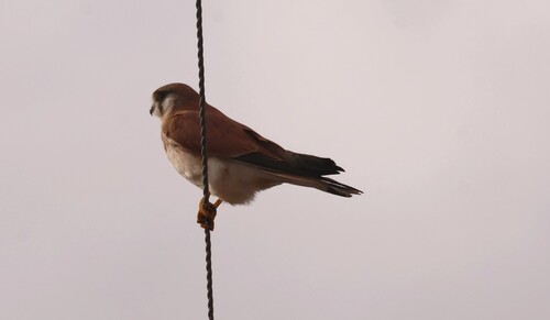
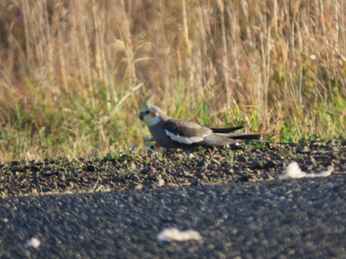
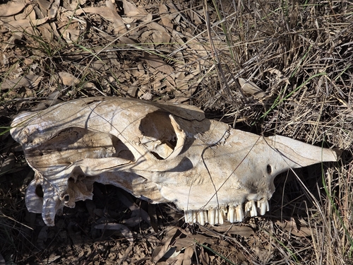
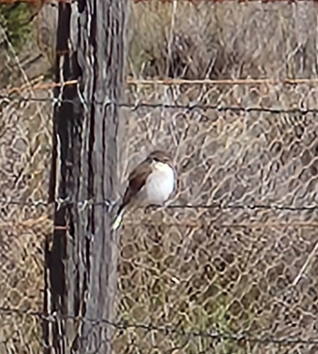
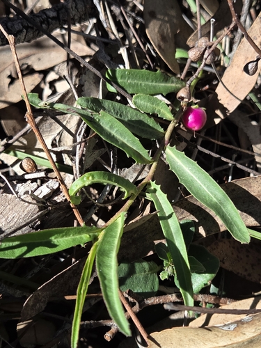
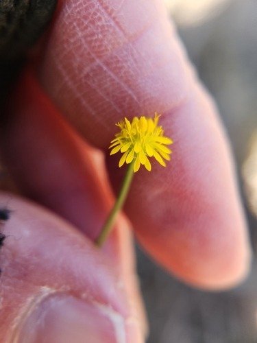
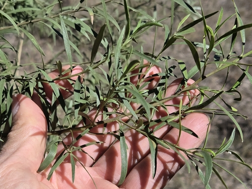
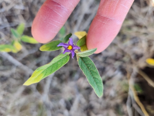
Research-grade observations from iNaturalist (within ~15 mi).
Events
Gallery
Sources
- • Wikipedia
- • Wikidata
- • USGS Earthquake Catalog (global feed)
- • GBIF (Global Biodiversity Information Facility)
- • iNaturalist
- • Open-Meteo / sunrise-sunset.org
- • Wikipedia Pageviews API
- • Open Library