Browse / Australia / Queensland / Cooran
Cooran
Queenslandvillage

Cooran
Total population
1,021
Demographic figures from Australian Bureau of Statistics. Overview below cites Wikipedia and may reference a different year.
City facts
Overview
Cooran is a rural hinterland town and locality in the Shire of Noosa, Queensland, Australia. In the 2021 census, the locality of Cooran had a population of 1,756 people.
Read more on WikipediaHistory & geography
History
The name Cooran comes from guran or kuran, meaning tall in the Kabi language. Cooran Lagoon lies between the North Coast railway line and Railway Street near James Street (), where the Aboriginals used it as a source of water-lily bulbs and mussels for food. The Indigenous name for the lagoon is Guran. It was operated by William Casey, until he transferred the licence to William Martin in December 1881. Nothing remains of the hotel but the approximate site is marked with a plaque. In December 1889, Martin transferred the hotel licence to his new Cooran Hotel at the Cooran railway station. Cooran Post Office opened on 17 June 1889 (a receiving office had been open from 1888). The Cooran Provisional School opened on 21 July 1890. It became Cooran State School in 1909. In April 1906, William Martin had plans drawn up for a public hall. On Friday 17 August 1906, William Martin opened with his new hall with a free social event. The hall had a dance floor with a stage which was the full width of the hall and deep. It was lit by 3 Rochester lamps, each of which used one gallon of oil to produce the light of 100 candles for 12 hours. At that time, it was the largest event ever held in Cooran with around 200 people in attendance, some having ridden up to to attend. St Matthew's Anglican Church was dedicated on 30 September 1913 by Archbishop St Clair Donaldson. It closed circa 1987. In the 1920s and 30s, banana growing became an important industry around the town. For a period after World War II pineapple farms gained popularity in the district.
Geography
Cooran is predominantly farming land with its urban centre in the north of the locality. Pinbarren Creek and Six Mile Creek flow from east to west through the northern part of the locality, while Coles Creek flows from east to west through the southern part of the locality. All the creeks flow into the Mary River. The Bruce Highway passes through the south-west corner of the locality but does not pass through the town. The major routes to the town are Traveston Road (from the north-west), Coles Creek Road from the south-west and Greenridge-Pinbarren Road from the east. Mount Cooran is a very distinctive peak in the landscape ().
Excerpted from the corresponding Wikipedia article (CC BY-SA).
Geography
Coordinates & boundaries from the US Census TIGER/Line shapefiles.
Climate
10-year averages from ERA5 reanalysis (Open-Meteo).
Air quality
Walkability
Amenities nearby
Wildlife & biodiversity
Most-observed species
- Lewin's HoneyeaterMeliphaga lewinii (Swainson, 1837) · Aves4,311
- Rainbow LorikeetTrichoglossus haematodus (Linnaeus, 1771) · Aves4,214
- Bar-shouldered DoveGeopelia humeralis (Temminck, 1821) · Aves3,588
- Torresian CrowCorvus orru Bonaparte, 1850 · Aves3,415
- Eastern WhipbirdPsophodes olivaceus (Latham, 1802) · Aves3,091
- Australian MagpieGymnorhina tibicen (Latham, 1802) · Aves2,871
- Laughing KookaburraDacelo novaeguineae (Hermann, 1783) · Aves2,843
- Australasian FigbirdSphecotheres vieilloti Vigors & Horsfield, 1827 · Aves2,837
Citizen-science & research observations from the Global Biodiversity Information Facility (GBIF).
Earthquake history
Most recent
- M 4.9 — 2025-08-1512 km ESE of Cherbourg, Australia
Events from the USGS Earthquake Catalog (global) (FDSN Event Web Service).
Photos
Sights & places nearby
Notable people from here
Nearby places in Queensland
- Kin Kin5.9 mi away · pop. 173
- Kandanga9.7 mi away · pop. 234
- Boreen Point11.2 mi away · pop. 336
- Imbil12.5 mi away · pop. 467
- Wolvi12.8 mi away
- Teewah15.5 mi away
- Kenilworth18.9 mi away · pop. 272
- Mapleton20.2 mi away · pop. 1,014
- Coolum Beach21.4 mi away
- Neerdie23.3 mi away
- Bli Bli24.1 mi away
- Montville24.9 mi away
Geography & sun
Elevation, sunrise/sunset and daylight from Open-Meteo. Solar climatology from NASA POWER.
Nearby airports
Public attention
Pageview totals from the Wikimedia Pageviews API.
Books about this place
Recent natural events nearby
Ground air-quality sensors
Recently spotted species
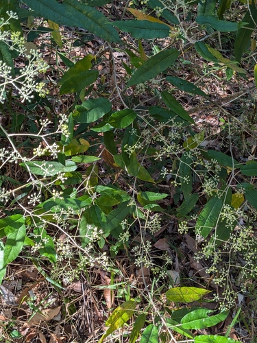
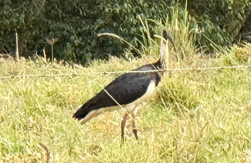
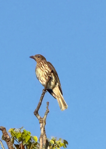
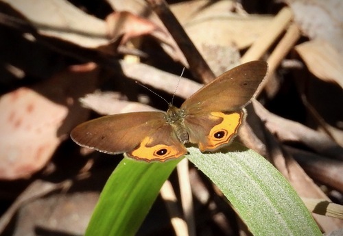
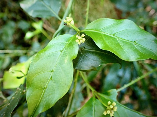
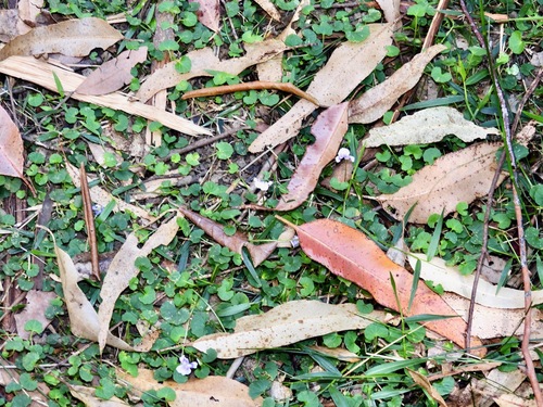
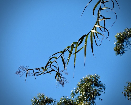
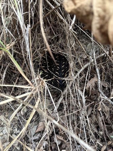
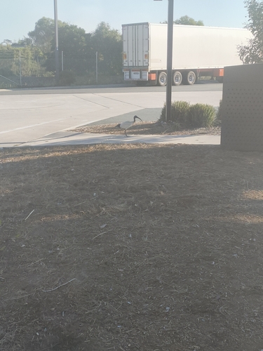
Research-grade observations from iNaturalist (within ~15 mi).
Events
Gallery
Geotagged photos within ~6 miles of Cooran, from Wikimedia Commons contributors.
.jpg) 0.1 mi
0.1 mi.jpg) 1.2 mi
1.2 mi.jpg) 1.2 mi
1.2 mi 1.2 mi
,_official_opening_2024.jpg) 1.8 mi
1.8 mi 2.2 mi
 2.3 mi
 2.6 mi
_interior_from_W_(2009).jpg) 2.6 mi
2.6 mi 2.6 mi
.jpg) 2.6 mi
2.6 mi 2.8 mi
 2.8 mi
,_lock-up_and_courthouse_-_the_lock-up.jpg) 2.8 mi
2.8 mi 2.8 mi
 2.8 mi
 2.9 mi
 2.9 mi
 3 mi
3 mi 3 mi
3 mi 3 mi
3 mi 3 mi
3 mi 3 mi
3 mi.jpg) 3.1 mi
3.1 miPhotos via Wikimedia Commons — see each image page for license & attribution.
Sources
- • Wikipedia
- • Open-Meteo (ERA5 reanalysis)
- • Wikimedia Commons
- • Wikidata
- • USGS Earthquake Catalog (global feed)
- • GBIF (Global Biodiversity Information Facility)
- • iNaturalist
- • Open-Meteo / sunrise-sunset.org
- • Wikipedia Pageviews API