Browse / Australia / Queensland / Cooroy
Cooroy
Queenslandtown

Cooroy
Total population
3,485
Founded
1885
Demographic figures from Australian Bureau of Statistics. Overview below cites Wikipedia and may reference a different year.
City facts
Facts from Wikidata (CC0).
Overview
Cooroy is a rural town and locality in the Shire of Noosa, Queensland, Australia. In the 2021 census, the locality of Cooroy had a population of 4,801 people.
Read more on WikipediaHistory & geography
History
Cooroy's name came from Mount Cooroy, which was originally called Coorooey, from an Aboriginal word for possum, kurui. The area was explored by timber-cutters as early as 1863. Cooroy's main industry developed from timber, having two operating sawmills, into dairying and fruit growing. In 1915, a butter factory opened. Cooroy railway station was opened in 1891 and in the same year a post office opened. Cooroy State School opened on 18 January 1909 with 18 students under headmaster Robert Thorney Bolton. The school building was with two verandas and a water tank. In February 1910, it was proposed to build a Methodist Church at Cooroy. In July 1911, a call for tenders to erect the church was issued. The stump-capping ceremony was held on Thursday 7 September 1911. The church was officially opened on Wednesday 31 January 1912 by Harry Walker, followed by a social evening to celebrate the following day. On 19 February 1949, the current church building opened and the 1911 church building became the church hall, having been relocated to the back of the site. With the amalgamation of the Methodist Church into the Uniting Church in Australia in 1977, it became the Cooroy Uniting Church. Cooroy West State School opened in 1911. It closed in 1962. That church was destroyed by a cyclone on 19 February 1954. On Sunday 7 November 1954 Archbishop Reginald Halse dedicated the new church. On 23 January 1961, a secondary department was added to Cooroy State School until the Cooroy State High School was opened as a separate school on 23 January 1963. In 1967, it was renamed Noosa District State High School. In 2007, Cooroora Secondary College at Pomona which was merged into Noosa District State High School, with the Pomona campus being used for the younger students and Cooroy…
Geography
Cooroy is inland from the northern Sunshine Coast hinterland about west of Noosa Heads. The town is in the north-east of the locality. The Bruce Highway runs through the locality from the south-east (Eerwah Vale) to the north-west (Black Mountain), bypassing the town. The Cooroy–Noosa Road exits to the east from the Cooroy Connection Road, which runs north through the town from the Bruce Highway. The North Coast railway line enters the locality from the south-east (Eerwah Vale), passes though the town which is served by Cooroy railway station, and then exits to the north-west (Pomona).
Excerpted from the corresponding Wikipedia article (CC BY-SA).
Geography
Coordinates & boundaries from the US Census TIGER/Line shapefiles.
Climate
10-year averages from ERA5 reanalysis (Open-Meteo).
Air quality
Walkability
Amenities nearby
Wildlife & biodiversity
Most-observed species
- Rainbow LorikeetTrichoglossus haematodus (Linnaeus, 1771) · Aves6,160
- Lewin's HoneyeaterMeliphaga lewinii (Swainson, 1837) · Aves5,789
- Torresian CrowCorvus orru Bonaparte, 1850 · Aves5,386
- Bar-shouldered DoveGeopelia humeralis (Temminck, 1821) · Aves4,830
- Australian MagpieGymnorhina tibicen (Latham, 1802) · Aves4,323
- Eastern WhipbirdPsophodes olivaceus (Latham, 1802) · Aves4,114
- Laughing KookaburraDacelo novaeguineae (Hermann, 1783) · Aves3,913
- Pied CurrawongStrepera graculina (Shaw, 1790) · Aves3,887
Citizen-science & research observations from the Global Biodiversity Information Facility (GBIF).
Earthquake history
Most recent
- M 4.9 — 2025-08-1512 km ESE of Cherbourg, Australia
Events from the USGS Earthquake Catalog (global) (FDSN Event Web Service).
Photos
Sights & places nearby
Notable people from here

People born within ~10 km, from Wikidata (CC0). Click any name for their Wikipedia article.
Nearby places in Queensland
- Boreen Point10.7 mi away · pop. 336
- Kin Kin10.9 mi away · pop. 173
- Coolum Beach13.5 mi away
- Teewah13.6 mi away
- Mapleton14.5 mi away · pop. 1,014
- Kandanga14.6 mi away · pop. 234
- Imbil14.8 mi away · pop. 467
- Bli Bli16.3 mi away
- Kenilworth16.7 mi away · pop. 272
- Montville18.8 mi away
- Wolvi18.8 mi away
- Maroochydore20 mi away
Geography & sun
Elevation, sunrise/sunset and daylight from Open-Meteo. Solar climatology from NASA POWER.
Nearby airports
Public attention
Pageview totals from the Wikimedia Pageviews API.
Books about this place
Recent natural events nearby
Ground air-quality sensors
Recently spotted species
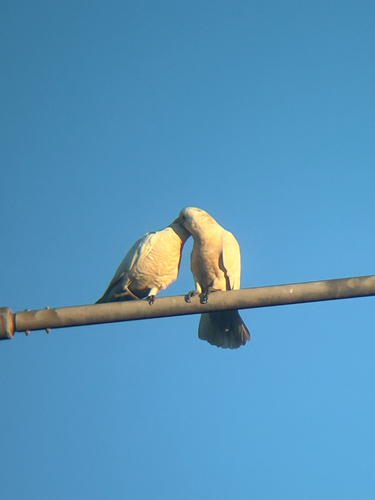
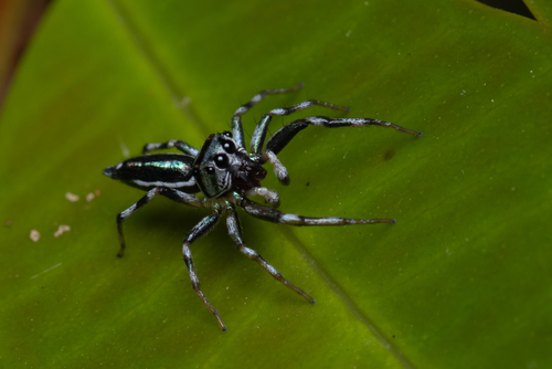
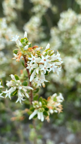
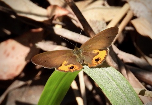
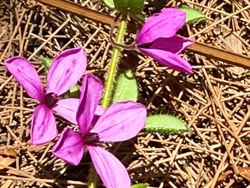
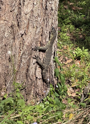
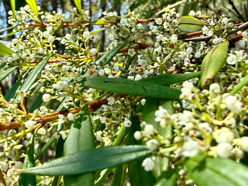
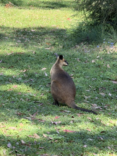
Research-grade observations from iNaturalist (within ~15 mi).
Events
Gallery
Geotagged photos within ~6 miles of Cooroy, from Wikimedia Commons contributors.
 0.1 mi
.jpg) 0.1 mi
0.1 mi.jpg) 0.1 mi
0.1 mi.jpg) 0.1 mi
0.1 mi.jpg) 0.1 mi
0.1 mi.jpg) 0.1 mi
0.1 mi 0.1 mi
 0.1 mi
 0.2 mi
 0.2 mi
 0.2 mi
 0.2 mi
 0.2 mi
.jpg) 0.3 mi
0.3 mi 0.3 mi
 0.3 mi
 0.3 mi
 0.3 mi
 0.9 mi
 1.4 mi
 1.4 mi
 2.1 mi
 2.1 mi
 2.1 mi
Photos via Wikimedia Commons — see each image page for license & attribution.
Sources
- • Wikipedia
- • Open-Meteo (ERA5 reanalysis)
- • Wikimedia Commons
- • Wikidata
- • USGS Earthquake Catalog (global feed)
- • GBIF (Global Biodiversity Information Facility)
- • iNaturalist
- • Open-Meteo / sunrise-sunset.org
- • Wikipedia Pageviews API