Browse / Australia / Northern Territory / Daguragu
Daguragu
Northern Territorytown
Demographic figures from Australian Bureau of Statistics. Overview below cites Wikipedia and may reference a different year.
City facts
Overview
Daguragu, previously also known as Wattie Creek by the Gurindji people as it is situated on a tributary of the Victoria River, is a locality in the Northern Territory of Australia. It is located about 551 kilometres (342 mi) south of the territory capital of Darwin and located about 460 kilometres (290 mi) south-west of the municipal seat in Katherine. It is around 8 km (5.0 mi) north-west of Kalkarindji. Daguragu community is situated on Aboriginal land held under perpetual title; it was also formerly a local government area until its amalgamation into the Victoria Daly Shire on 1 July 2008.
Read more on WikipediaHistory & geography
Geography
Coordinates & boundaries from the US Census TIGER/Line shapefiles.
Climate
Air quality
Walkability
Amenities nearby
Wildlife & biodiversity
Most-observed species
- Jerusalem thorn, Mexican palo verde, Parkinsonia, Jelly bean tree, Barbados flowerfence, Horse-bean, RetaimaParkinsonia aculeata L. · Magnoliopsida594
- Willie-wagtailRhipidura leucophrys (Latham, 1802) · Aves41
- BudgerigarMelopsittacus undulatus (Shaw, 1805) · Aves40
- Peaceful DoveGeopelia placida Gould, 1844 · Aves36
- Zebra FinchTaeniopygia guttata (Vieillot, 1817) · Aves34
- Black KiteMilvus migrans (Boddaert, 1783) · Aves34
- Brown HoneyeaterLichmera indistincta (Vigors & Horsfield, 1827) · Aves33
- Black-faced WoodswallowArtamus cinereus Vieillot, 1817 · Aves30
Citizen-science & research observations from the Global Biodiversity Information Facility (GBIF).
Earthquake history
Most recent
- M 4.3 — 2022-07-24188 km SE of Kununurra, Australia
Events from the USGS Earthquake Catalog (global) (FDSN Event Web Service).
Photos
Sights & places nearby
Notable people from here
Nearby places in Northern Territory
- Seale Yard4.5 mi away
- Lajamanu65.6 mi away · pop. 653
- Bobs Yard97 mi away
- Waterloo111 mi away
- Gilwi112.9 mi away · pop. 29
- Bamboo Springs117.6 mi away
- Myatt119 mi away · pop. 122
- Timber Creek122.4 mi away · pop. 278
- Daly Waters187.2 mi away · pop. 55
- Parrulyu211 mi away
- Twin Hills Village219.8 mi away
- Wudapuli229.1 mi away · pop. 40
Geography & sun
Elevation, sunrise/sunset and daylight from Open-Meteo. Solar climatology from NASA POWER.
Nearby airports
Public attention
Pageview totals from the Wikimedia Pageviews API.
Books about Daguragu
Search results from Open Library.
Recent natural events nearby
Ground air-quality sensors
Recently spotted species

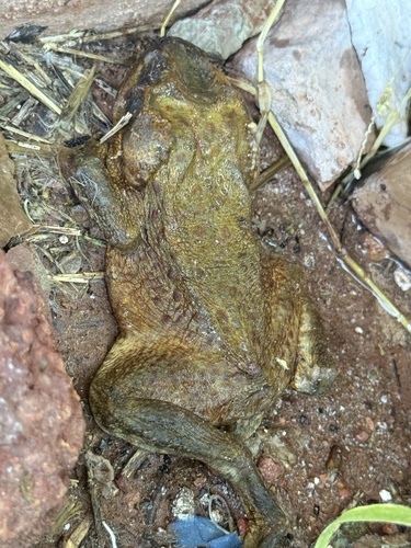
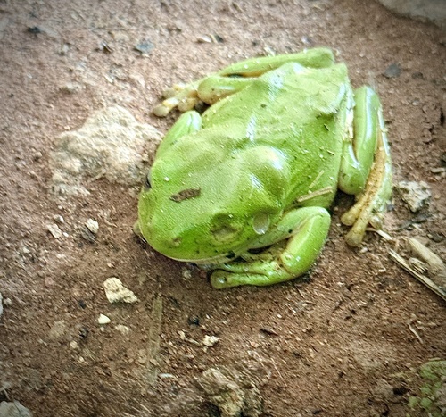
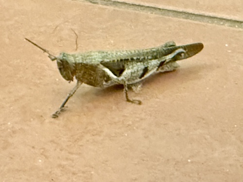
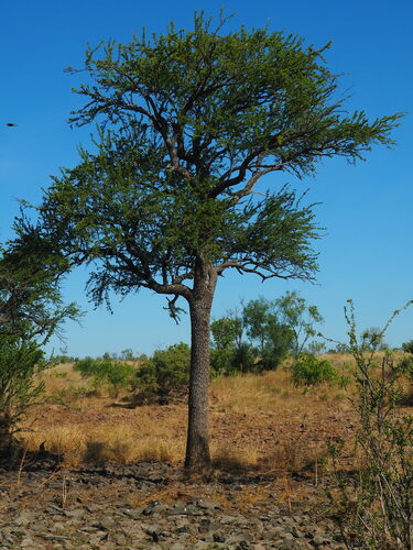
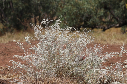

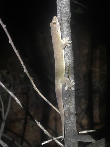
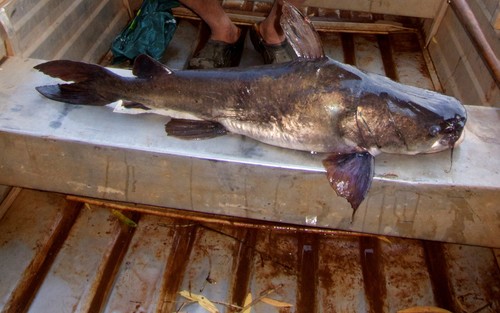
Research-grade observations from iNaturalist (within ~15 mi).
Events
Gallery
Official Identifiers
ABS — Australian Bureau of Statistics
- ASGS 2021
- SAL70069
- Population (Wikidata)
- 196
- Wikidata
- Q5208683
ASGS 2021 ID via Wikidata P10112
Sources
- • Wikipedia
- • Wikidata
- • USGS Earthquake Catalog (global feed)
- • GBIF (Global Biodiversity Information Facility)
- • iNaturalist
- • Open-Meteo / sunrise-sunset.org
- • Wikipedia Pageviews API
- • Open Library
- • ABS — Australian Bureau of Statistics — ASGS 2021 ID via Wikidata P10112