Browse / Australia / Northern Territory / Darwin
Darwin
Northern Territorycity

Darwin
Total population
122,207
Founded
1869
Air quality index
Demographic figures from Australian Bureau of Statistics. Overview below cites Wikipedia and may reference a different year.
City facts
Facts from Wikidata (CC0).
Overview
Darwin is the capital and largest city of the Northern Territory, Australia. The city had a population of 139,902 at the 2021 census, which is nearly 63% of the territory's population. It is the smallest, wettest, and most northerly of the Australian capital cities and serves as the Top End's regional centre.
Read more on WikipediaHistory & geography
History
The Aboriginal people of the Larrakia language group are the traditional custodians and earliest known inhabitants of the greater Darwin area. Their name for the area is Garramilla, They had trading routes with Southeast Asia (see Macassan contact with Australia) and imported goods from as far afield as South and Western Australia. Established songlines penetrated throughout the country, allowing stories and histories to be told and retold along the routes. The Dutch visited Australia's northern coastline in the 1600s and landed on the Tiwi Islands only to be attacked by the Tiwi peoples. The Dutch created the first European maps of the area. This accounts for the Dutch names in the area, such as Arnhem Land and Groote Eylandt. During this period, Dutch explorers named the region around Darwin—sometimes including nearby Kimberley—variations of "Van Diemen's Land", after the VOC governor-general Anthony van Diemen. This should not be confused with the more general and prolonged use of the same name for Tasmania. The first Briton to see Darwin harbour appears to have been Lieutenant John Lort Stokes of on 9 September 1839. The ship's captain, Commander John Clements Wickham, named the port after Charles Darwin, the British naturalist who had sailed with him when he served as first lieutenant on the earlier second expedition of the Beagle. In 1863, the Northern Territory was transferred from New South Wales to South Australia. In 1864 South Australia sent B. T. Finniss north as Government Resident to survey and found a capital for its new territory. Finniss chose a site at Escape Cliffs, near the entrance to Adelaide River, about northeast of the modern city. This attempt was short-lived, and the settlement abandoned by 1865. On 5 February 1869, George…
Geography
Darwin is a coastal city, situated along the western shoreline of the Northern Territory. The water meets the land from the Beagle Gulf, which extends out into the Timor Sea. The central business district occupies a low bluff overlooking Darwin Harbour to the south, beyond which lie East Arm, Middle Arm, Northern Territory, and, across the gulf, West Arm. Middle Arm has an industrial precinct on the peninsula, which is being promoted as a sustainable development area that will include plants for industries such as low-emission petrochemicals, renewable hydrogen, and carbon capture storage. Darwin is flanked by Frances Bay to the east and Cullen Bay to the west. The rest of the city is relatively flat and low-lying, and areas bordering the coast are home to recreational reserves, extensive beaches, and excellent fishing. Darwin and its suburbs spread in an approximately triangular shape, with the older southwestern suburbs—and the city itself—forming one corner, the newer northern suburbs another, and the eastern suburbs, progressing towards Palmerston, forming the third. The older part of Darwin is separated from the newer northern suburbs by Darwin International Airport and RAAF Base Darwin. Palmerston is a satellite city east of Darwin that was established in the 1980s and is one of Australia's fastest-growing municipalities. Darwin's rural areas, including Howard Springs, Humpty Doo and Berry Springs, are experiencing strong growth. Darwin's central business district (CBD) is bounded by Daly Street in the northwest, McMinn Street in the northeast, Mitchell Street on the southwest, and Bennett Street on the southeast. The CBD has been the focus of a number of major projects, such as the billion-dollar redevelopment of the Stokes Hill wharf waterfront area,…
Excerpted from the corresponding Wikipedia article (CC BY-SA).
Geography
Coordinates & boundaries from the US Census TIGER/Line shapefiles.
Climate
Air quality
Current readings from Open-Meteo Air Quality API (Copernicus CAMS European reanalysis).
Walkability
Amenities nearby
Wildlife & biodiversity
Most-observed species
- Bar-shouldered DoveGeopelia humeralis (Temminck, 1821) · Aves19,291
- Magpie-larkGrallina cyanoleuca (Latham, 1802) · Aves16,137
- Brown HoneyeaterLichmera indistincta (Vigors & Horsfield, 1827) · Aves15,010
- White-gaped HoneyeaterStomiopera unicolor (Gould, 1843) · Aves14,960
- Masked LapwingVanellus miles (Boddaert, 1783) · Aves14,308
- Peaceful DoveGeopelia placida Gould, 1844 · Aves13,519
- Rainbow Bee-eaterMerops ornatus Latham, 1801 · Aves12,455
- Red-collared LorikeetTrichoglossus rubritorquis Vigors & Horsfield, 1827 · Aves12,357
Citizen-science & research observations from the Global Biodiversity Information Facility (GBIF).
Earthquake history
Events from the USGS Earthquake Catalog (global) (FDSN Event Web Service).
Photos
Sights & places nearby
Notable people from here


People born within ~10 km, from Wikidata (CC0). Click any name for their Wikipedia article.
Nearby places in Northern Territory
- Holtze9.6 mi away
- Palmerston9.8 mi away
- Belyuen10.9 mi away · pop. 213
- Southport19.5 mi away · pop. 355
- Noonamah19.8 mi away · pop. 483
- Crab Claw Island22.8 mi away
- Acacia Hills29.3 mi away
- Acacia Larrakia33.1 mi away
- Iron Stone40.6 mi away
- Batchelor42.4 mi away · pop. 371
- Pickertaramoor48.2 mi away
- Corroboree Park49.1 mi away
Geography & sun
Elevation, sunrise/sunset and daylight from Open-Meteo. Solar climatology from NASA POWER.
Nearby airports
Public attention
Pageview totals from the Wikimedia Pageviews API.
Books about Darwin
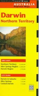
Search results from Open Library.
Recent natural events nearby
Ground air-quality sensors
Recently spotted species
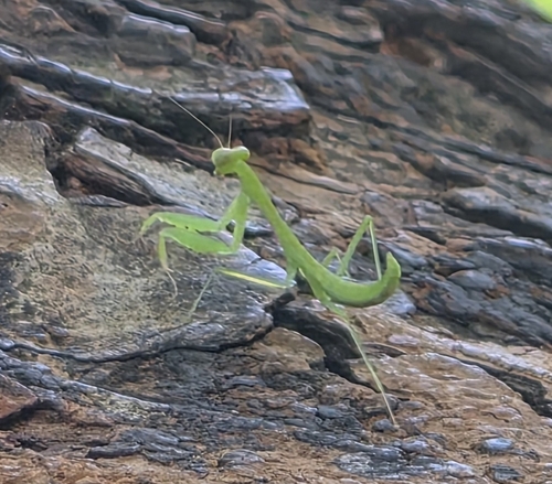
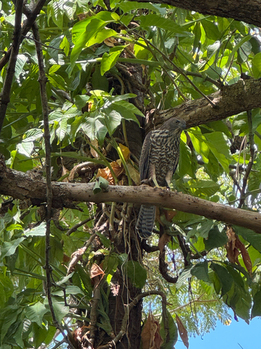
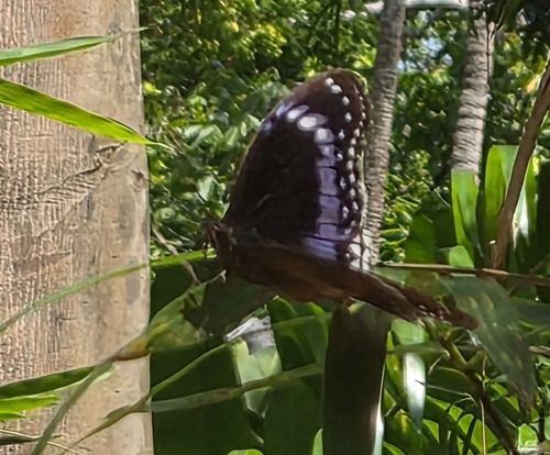


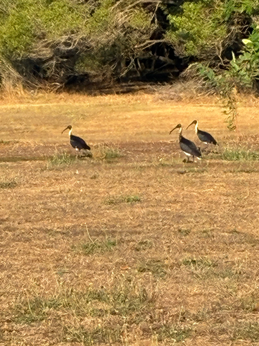
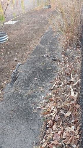
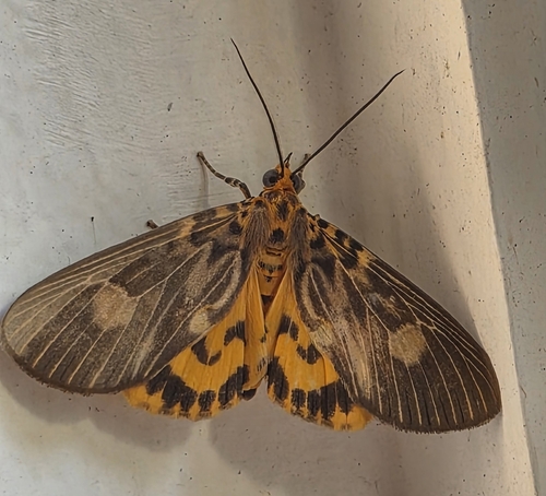
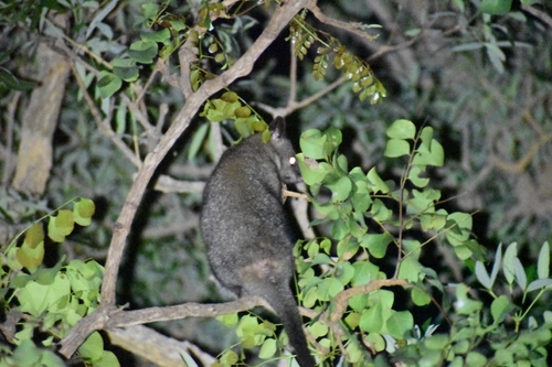
Research-grade observations from iNaturalist (within ~15 mi).
Events
Gallery
Geotagged photos within ~6 miles of Darwin, from Wikimedia Commons contributors.
 0.1 mi
 0.1 mi
 0.1 mi
 0.1 mi
 0.1 mi
 0.1 mi
 0.1 mi
 0.1 mi
 0.1 mi
 0.1 mi
 0.1 mi
 0.1 mi
 0.1 mi
 0.1 mi
 0.1 mi
 0.1 mi
_01.jpg) 0.1 mi
0.1 mi_02.jpg) 0.1 mi
0.1 mi_03.jpg) 0.1 mi
0.1 mi.jpg) 0.1 mi
0.1 mi_(outbacktesla)_2018-08-05_02H39M39S126.jpg) 0.1 mi
0.1 mi_(outbacktesla)_2018-08-05_02H39M40S126.jpg) 0.1 mi
0.1 mi_(outbacktesla)_2018-08-05_02H39M41S215.jpg) 0.1 mi
0.1 mi_(outbacktesla)_2018-08-05_02H39M43S187.jpg) 0.1 mi
0.1 miPhotos via Wikimedia Commons — see each image page for license & attribution.
Sources
- • Wikipedia
- • Wikimedia Commons
- • Wikidata
- • Open-Meteo Air Quality (CAMS)
- • USGS Earthquake Catalog (global feed)
- • GBIF (Global Biodiversity Information Facility)
- • iNaturalist
- • Open-Elevation
- • Open-Meteo / sunrise-sunset.org
- • Wikipedia Pageviews API
- • Open Library