Browse / Australia / Queensland / Gold Coast
Gold Coast
Queenslandcity

Gold Coast
Total population
607,665
Founded
1958
Air quality index
Demographic figures from Australian Bureau of Statistics. Overview below cites Wikipedia and may reference a different year.
City facts
Sister cities
Facts from Wikidata (CC0).
Overview
The Gold Coast, also known by its initials, GC, is a coastal city and region in the state of Queensland, Australia, located approximately 66 kilometres (41 mi) south-southeast of the centre of the state capital, Brisbane. It is on the central eastern coast of Australia adjoining the Pacific Ocean. It is Queensland's second-largest city after Brisbane, as well as Australia's sixth-largest city and the most populous non-capital city. The city's central business district is located roughly in the centre of the Gold Coast in the suburb of Southport. The urban area of the Gold Coast is concentrated along the coast, sprawling between 60–70 kilometres, joining up with the Greater Brisbane region to the north and the state border with New South Wales to the south. Nicknames of the city include the 'Glitter Strip' and the 'Goldy'. The demonym of a Gold Coast resident is Gold Coaster.
Read more on WikipediaHistory & geography
History
The Gold Coast is the ancestral home of a number of Indigenous clans of the Yugambeh people, including the Kombumerri, Mununjali, and Wangerriburra clans. Europeans arrived in 1823 when explorer John Oxley explored the Tweed River. The hinterland's timber supply attracted people to the area in the mid-19th century. A number of small townships developed along the coast and in the hinterland. The western suburb of Nerang was surveyed and established as a base for the industry, and by 1870 a town reserve had been set aside. By 1873, the town reserve of Burleigh Heads had also been surveyed, and successful land sales had taken place. In 1875, the small settlement opposite the boat passage at the head of the Nerang River, known as Nerang Heads or Nerang Creek Heads, was surveyed and renamed Southport, with the first land sales scheduled to take place in Beenleigh. Southport quickly grew a reputation as a secluded holiday destination for wealthy Brisbane residents. The post-World War One Era saw the rise of the "seaside shack". The seaside shack provided the opportunity for the coastal "getaway" with modest investment. From 1914 to 1946, they popped up all along the South Coast. Seaside shacks were exceedingly cheap and were an early use of the concept of recycling. Many were built of disused or second grade timber, all kinds of materials were used for the holiday seaside shack – including fibro cement, metal containers, and left-over farm sheds; even disused trams were sold off as seaside shacks. After the establishment of the Surfers Paradise Hotel in the late 1920s, the Gold Coast region grew significantly. The Gold Coast was originally known as the South Coast (because it was south of Brisbane). However, over-inflated prices for real estate and other goods and…
Geography
The Gold Coast is approximately half covered by forests of various types. This includes small patches of near-pristine ancient rainforest, mangrove-covered islands, and patches of coastal heathlands and farmland with areas of uncleared eucalyptus forest. Of the plantation pine forests that were planted in the 1950s and 1960s, when commercial forest planting for tax minimisation was encouraged by the Commonwealth government, tiny remnants remain. Most of the Gold Coast area was covered by forest prior to European human settlement and was exposed to extensive land clearing in the 19th century. Gold Coast City lies in the southeast corner of Queensland, to the south of Brisbane, the state capital. The Albert River separates the Gold Coast from Logan City, a local government area south of the City of Brisbane. Gold Coast City stretches from the Albert River, Logan River, and Southern Moreton Bay to the border with New South Wales (NSW) approximately south, and extends from the coast west to the foothills of the Great Dividing Range in World Heritage listed Lamington National Park.The southernmost town of Gold Coast City, Coolangatta, includes Point Danger and its lighthouse. Coolangatta is a twin city with Tweed Heads located directly across the NSW border. At , this is the most easterly point on the Queensland mainland (Point Lookout on the offshore island of North Stradbroke is slightly further east). From Coolangatta, approximately forty kilometres of holiday resorts and surfing beaches stretch north to the suburb of Main Beach, and then further on Stradbroke Island. The suburbs of Southport and Surfers Paradise form the Gold Coast's commercial centre. The major river in the area is the Nerang River. Much of the land between the coastal strip and the hinterland was…
Excerpted from the corresponding Wikipedia article (CC BY-SA).
Geography
Coordinates & boundaries from the US Census TIGER/Line shapefiles.
Climate
Air quality
Current readings from Open-Meteo Air Quality API (Copernicus CAMS European reanalysis).
Walkability
Amenities nearby
Wildlife & biodiversity
Most-observed species
- Rainbow LorikeetTrichoglossus haematodus (Linnaeus, 1771) · Aves7,301
- Noisy MinerManorina melanocephala (Latham, 1801) · Aves7,055
- Torresian CrowCorvus orru Bonaparte, 1850 · Aves6,668
- Australian MagpieGymnorhina tibicen (Latham, 1802) · Aves6,306
- Australian IbisThreskiornis molucca (Cuvier, 1829) · Aves6,213
- Welcome SwallowHirundo neoxena Gould, 1842 · Aves5,057
- Magpie-larkGrallina cyanoleuca (Latham, 1802) · Aves4,917
- Pied CurrawongStrepera graculina (Shaw, 1790) · Aves4,845
Citizen-science & research observations from the Global Biodiversity Information Facility (GBIF).
Earthquake history
Events from the USGS Earthquake Catalog (global) (FDSN Event Web Service).
Photos
Sights & places nearby
Notable people from here


People born within ~10 km, from Wikidata (CC0). Click any name for their Wikipedia article.
Nearby places in Queensland
- Currigee7.5 mi away · pop. 100
- Wongawallan13.5 mi away
- Canungra15.2 mi away · pop. 793
- Beechmont15.9 mi away · pop. 791
- Springbrook15.9 mi away · pop. 206
- Point Talburpin25.8 mi away
- Lamb Island26.1 mi away · pop. 504
- Cryna26.3 mi away · pop. 134
- Woodhill28.1 mi away · pop. 1,231
- Laravale29.8 mi away
- Josephville30 mi away
- Lamington30.2 mi away
Geography & sun
Elevation, sunrise/sunset and daylight from Open-Meteo. Solar climatology from NASA POWER.
Nearby airports
Public attention
Pageview totals from the Wikimedia Pageviews API.
Books about Gold Coast

Search results from Open Library.
Recent natural events nearby
Ground air-quality sensors
Recently spotted species
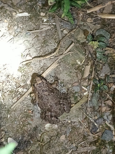
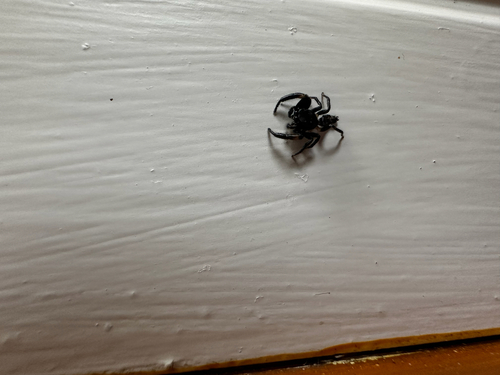
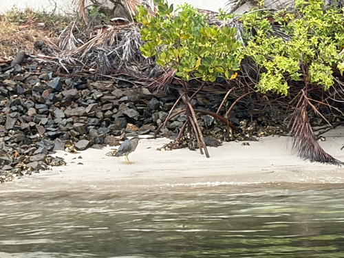
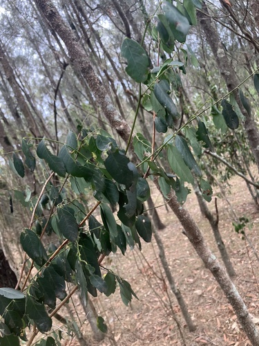
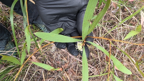
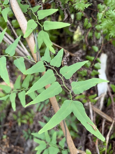
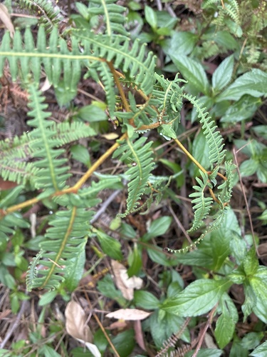
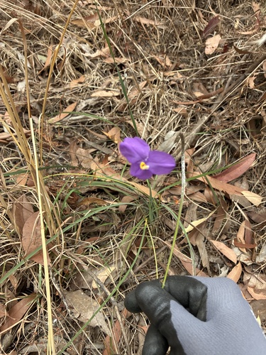
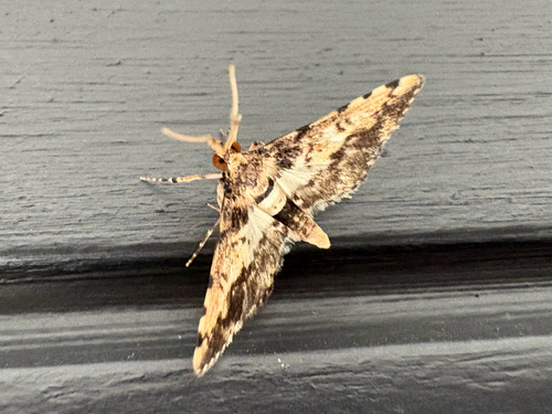
Research-grade observations from iNaturalist (within ~15 mi).
Events
Gallery
Geotagged photos within ~6 miles of Gold Coast, from Wikimedia Commons contributors.
 0.1 mi
 0.1 mi
 0.1 mi
 0.1 mi
 0.1 mi
_03.jpg) 0.1 mi
0.1 mi 0.1 mi
 0.1 mi
 0.1 mi
 0.1 mi
 0.1 mi
 0.1 mi
 0.1 mi
 0.1 mi
 0.1 mi
 0.1 mi
 0.1 mi
 0.1 mi
 0.1 mi
 0.1 mi
 0.1 mi
 0.1 mi
 0.1 mi
 0.1 mi
Photos via Wikimedia Commons — see each image page for license & attribution.
Official Identifiers
ABS — Australian Bureau of Statistics
- ASGS 2021
- UCL302001
- Population (Wikidata)
- 607,665
- Wikidata
- Q140075
ASGS 2021 ID via Wikidata P10112
Sources
- • Wikipedia
- • Wikimedia Commons
- • Wikidata
- • Open-Meteo Air Quality (CAMS)
- • USGS Earthquake Catalog (global feed)
- • GBIF (Global Biodiversity Information Facility)
- • iNaturalist
- • Open-Elevation
- • Open-Meteo / sunrise-sunset.org
- • Wikipedia Pageviews API
- • Open Library
- • ABS — Australian Bureau of Statistics — ASGS 2021 ID via Wikidata P10112