Browse / Australia / Queensland / Jackson
Jackson
Queenslandvillage

Jackson
Demographic figures from Australian Bureau of Statistics. Overview below cites Wikipedia and may reference a different year.
City facts
Overview
Jackson is a rural town and locality in the Maranoa Region, Queensland, Australia. In the 2021 census, the locality of Jackson had a population of 55 people.
Read more on WikipediaHistory & geography
History
The town is named after John Woodward Wyndham Jackson, who was a sawmiller at Channing (an area now within Jackson South) around 1887 and who later became the police magistrate at Mackay. Jackson Post Office opened by July 1908 (a receiving office had been open from 1887) and closed in 1988. Jackson Provisional School opened on 18 January 1892. On 1 January 1909, it became Jackson State School. It closed on 9 December 1983 after 91 years of service. It was at 23 Edward Street (). In 2002, local resident Ella Robinson petitioned the former Bendemere Shire Council to have Jackson State School's play shed, built in 1908, relocated from the former school site (which had lain dormant since the School's closure in 1983) to the centre of town at the old railway station site to serve as a Intercity Bus Stop (ICBS) for passengers travelling on Greyhound Australia's long-distance coach services. In 2012, numerous information panels were installed in the old play shed illustrating the town's history and paying tribute to the pioneers who helped establish the rural community.
Geography
The Warrego Highway runs through from east to west. The Western Railway Line also runs through from east to west, with the town historically served by the now-abandoned Jackson railway station ().
Excerpted from the corresponding Wikipedia article (CC BY-SA).
Geography
Coordinates & boundaries from the US Census TIGER/Line shapefiles.
Climate
10-year averages from ERA5 reanalysis (Open-Meteo).
Air quality
Walkability
Amenities nearby
Wildlife & biodiversity
Most-observed species
- Torresian CrowCorvus orru Bonaparte, 1850 · Aves24
- Australian MagpieGymnorhina tibicen (Latham, 1802) · Aves18
- GalahEolophus roseicapilla (Vieillot, 1817) · Aves15
- Noisy MinerManorina melanocephala (Latham, 1801) · Aves13
- ApostlebirdStruthidea cinerea Gould, 1837 · Aves12
- Blue-faced HoneyeaterEntomyzon cyanotis (Latham, 1801) · Aves10
- Sulphur-crested CockatooCacatua galerita (Latham, 1790) · Aves9
- Australian KestrelFalco cenchroides Vigors & Horsfield, 1827 · Aves9
Citizen-science & research observations from the Global Biodiversity Information Facility (GBIF).
Earthquake history
Events from the USGS Earthquake Catalog (global) (FDSN Event Web Service).
Photos
Sights & places nearby
Notable people from here
Nearby places in Queensland
- Wallumbilla27.2 mi away · pop. 199
- Condamine37 mi away · pop. 129
- Warra82.4 mi away
- Flinton86.3 mi away
- Jandowae92.3 mi away · pop. 734
- Macalister93.8 mi away
- Jimbour100.5 mi away · pop. 40
- Mitchell102.3 mi away · pop. 835
- Theodore120.6 mi away · pop. 451
- Alice Creek121.7 mi away
- Bowenville123.8 mi away
- Proston126.9 mi away · pop. 281
Geography & sun
Elevation, sunrise/sunset and daylight from Open-Meteo. Solar climatology from NASA POWER.
Nearby airports
Public attention
Pageview totals from the Wikimedia Pageviews API.
Books about Jackson

Search results from Open Library.
Recent natural events nearby
Ground air-quality sensors
Recently spotted species
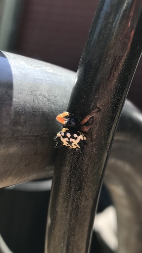
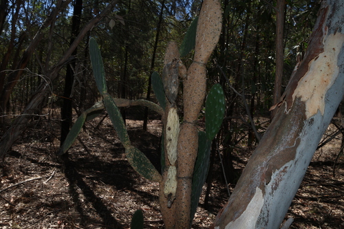
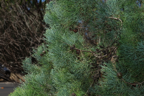
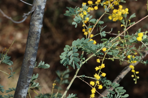
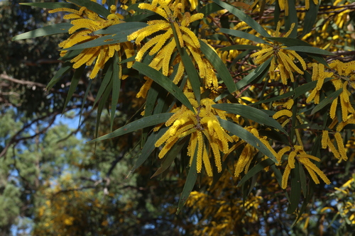
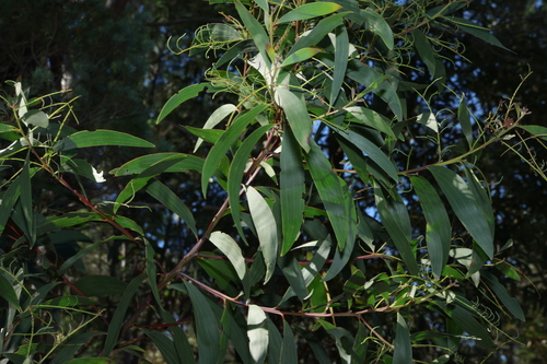
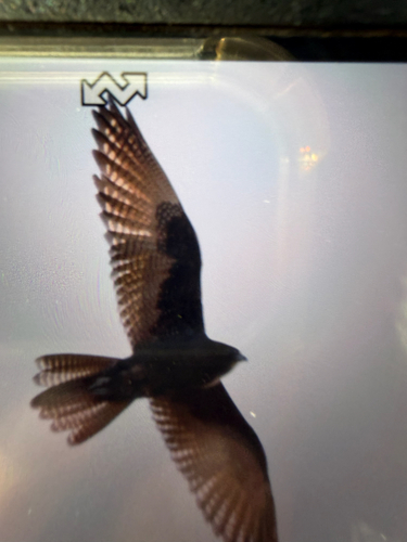
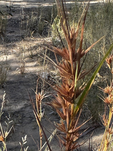
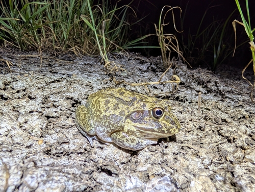
Research-grade observations from iNaturalist (within ~15 mi).
Events
Gallery
Official Identifiers
ABS — Australian Bureau of Statistics
- ASGS 2021
- SAL31421
- Population (Wikidata)
- 55
- Wikidata
- Q6116909
ASGS 2021 ID via Wikidata P10112
Sources
- • Wikipedia
- • Open-Meteo (ERA5 reanalysis)
- • Wikidata
- • USGS Earthquake Catalog (global feed)
- • GBIF (Global Biodiversity Information Facility)
- • iNaturalist
- • Open-Meteo / sunrise-sunset.org
- • Wikipedia Pageviews API
- • Open Library
- • ABS — Australian Bureau of Statistics — ASGS 2021 ID via Wikidata P10112