Browse / Australia / South Australia / Kadina
Kadina
South Australiatown

Kadina
Total population
4,666
Air quality index
Demographic figures from Australian Bureau of Statistics. Overview below cites Wikipedia and may reference a different year.
City facts
Facts from Wikidata (CC0).
Overview
Kadina is a town on the Yorke Peninsula of the Australian state of South Australia, approximately 144 kilometres north-northwest of the state capital of Adelaide. The largest town of the Peninsula, Kadina is one of the three Copper Triangle towns famous for their shared copper mining history. The three towns are known as "Little Cornwall" for the significant number of immigrants from Cornwall who worked at the mines in the late 19th century.
Read more on WikipediaHistory & geography
History
The Narungga are the group of Indigenous Australians whose traditional lands include what is now termed Yorke Peninsula in South Australia. The name "Kadina" is thought to be derived from Kadiyinya, a Narungga word meaning 'Lizard Plain'. Copper was discovered at Wallaroo Mines in 1859 and adjacent land north east of the site was surveyed in 1861 to house miners and became the Government Town of Kadina. Exceptional amounts of copper were found in the following years. Copper was also found in large amounts at the nearby Matta Mine and Doora Mine. The copper mines attracted a number of highly experienced Cornish miners to Kadina. In 1862, the Hundred of Wallaroo and Hundred of Kadina were proclaimed in order to allow parcels of land to be sold in the vicinity of the copper mines. In the same year a horse-drawn railway from Kadina to the port at Wallaroo, west of the town, was opened. Further lines connecting Kadina to Port Wakefield, to the southeast, and Bute, to the northeast (Kadina-Brinkworth railway line), opened in 1878 and 1879, respectively. In 1872 Kadina became a municipality by establishment of the Corporate Town of Kadina. By 1875, the population had increased to 20,000, mostly composed of Cornish miners. In 1907 the adjacent Government Town of Kadina East was surveyed west of Eliza Terrace to cope with the need to house the growing population of the town. Mining at Kadina ceased completely in 1938, and the rail lines fell into disuse and were closed in 1989.
Geography
Kadina has a semi-arid climate (Köppen: BSk), with moderately hot, dry summers and cool, wetter winters. The town is above Goyder's Line, and is surrounded by mallee scrub. It is located inland and above sea level. Temperatures vary throughout the year, with average maxima ranging from in January to in July, and average minima fluctuating between in February and in July. Annual precipitation is rather low, averaging between 92.3 precipitation days. There are 122.3 clear days and 102.6 cloudy days annually. Extreme temperatures have ranged from on 24 January 2019 to on 30 August 2019. Extremes were combined from the closed Kadina weather station and the current Kadina AWS station.
Excerpted from the corresponding Wikipedia article (CC BY-SA).
Geography
Coordinates & boundaries from the US Census TIGER/Line shapefiles.
Climate
10-year averages from ERA5 reanalysis (Open-Meteo).
Air quality
Current readings from Open-Meteo Air Quality API (Copernicus CAMS European reanalysis).
Walkability
Amenities nearby
Wildlife & biodiversity
Most-observed species
- Red WattlebirdAnthochaera carunculata (Shaw, 1790) · Aves454
- European StarlingSturnus vulgaris Linnaeus, 1758 · Aves443
- Magpie-larkGrallina cyanoleuca (Latham, 1802) · Aves402
- New Holland HoneyeaterPhylidonyris novaehollandiae (Latham, 1790) · Aves396
- Spotted doveSpilopelia chinensis (Scopoli, 1786) · Aves394
- Crested PigeonOcyphaps lophotes (Temminck, 1822) · Aves389
- House SparrowPasser domesticus (Linnaeus, 1758) · Aves362
- Rock PigeonColumba livia J.F.Gmelin, 1789 · Aves321
Citizen-science & research observations from the Global Biodiversity Information Facility (GBIF).
Earthquake history
Most recent
- M 3.9 — 2018-07-0115 km WNW of Cowell, Australia
- M 3.1 — 2008-12-0417 km ESE of Crystal Brook, Australia
- M 3.4 — 2006-07-1755 km S of Cowell, Australia
- M 2.6 — 2004-08-0230 km N of Clare, Australia
- M 2.7 — 2004-08-0229 km N of Clare, Australia
- M 2.9 — 2003-05-0226 km ENE of Kadina, Australia
Events from the USGS Earthquake Catalog (global) (FDSN Event Web Service).
Photos
Sights & places nearby
Notable people from here


People born within ~10 km, from Wikidata (CC0). Click any name for their Wikipedia article.
Nearby places in South Australia
- Cunliffe8.1 mi away
- Paskeville11.7 mi away · pop. 79
- Melton17.3 mi away
- Bute18 mi away · pop. 228
- Clinton25 mi away · pop. 281
- Lochiel25.5 mi away · pop. 51
- Balgowan28 mi away · pop. 64
- Port Broughton28 mi away · pop. 1,116
- Maitland28.4 mi away · pop. 1,079
- Port Wakefield29.4 mi away · pop. 593
- Snowtown31.3 mi away · pop. 356
- Tiddy Widdy Beach32.7 mi away · pop. 196
Geography & sun
Elevation, sunrise/sunset and daylight from Open-Meteo. Solar climatology from NASA POWER.
Nearby airports
Public attention
Pageview totals from the Wikimedia Pageviews API.
Books about Kadina
Search results from Open Library.
Recent natural events nearby
Ground air-quality sensors
Recently spotted species
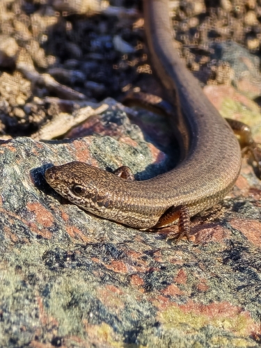
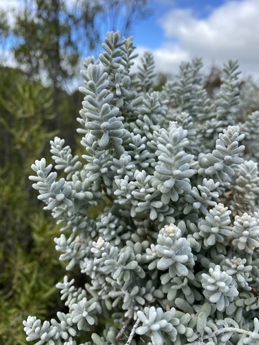
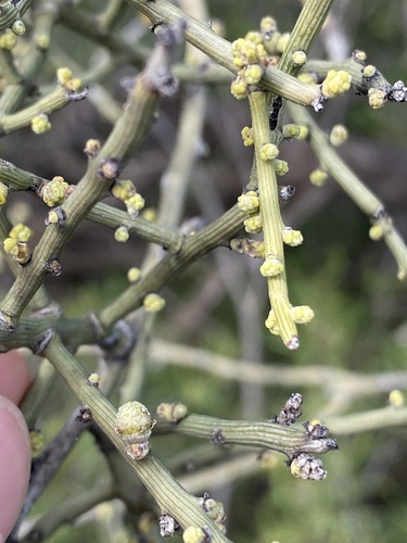
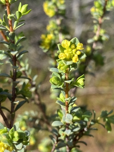
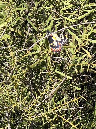
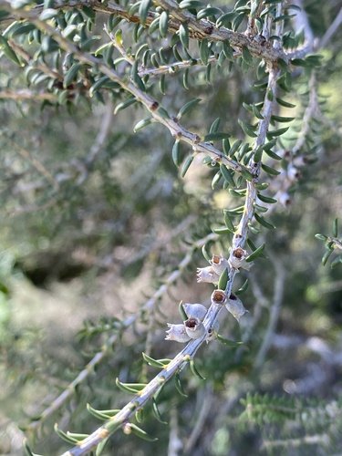
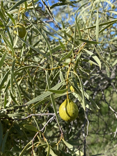
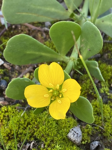
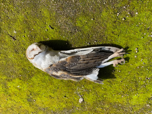
Research-grade observations from iNaturalist (within ~15 mi).
Events
Gallery
Geotagged photos within ~6 miles of Kadina, from Wikimedia Commons contributors.
 2.6 mi
 2.6 mi
 2.6 mi
 2.6 mi
 2.6 mi
 2.6 mi
 2.6 mi
 2.6 mi
.jpg) 4.1 mi
4.1 mi.jpg) 4.1 mi
4.1 mi 4.7 mi
 5.4 mi
 5.5 mi
 5.5 mi
 5.5 mi
 5.5 mi
.jpg) 5.9 mi
5.9 miPhotos via Wikimedia Commons — see each image page for license & attribution.
Sources
- • Wikipedia
- • Open-Meteo (ERA5 reanalysis)
- • Wikimedia Commons
- • Wikidata
- • Open-Meteo Air Quality (CAMS)
- • USGS Earthquake Catalog (global feed)
- • GBIF (Global Biodiversity Information Facility)
- • iNaturalist
- • Open-Meteo / sunrise-sunset.org
- • Wikipedia Pageviews API
- • Open Library