Browse / Australia / Queensland / Kogan
Kogan
Queenslandvillage
Total population
61
Air quality index
Demographic figures from Australian Bureau of Statistics. Overview below cites Wikipedia and may reference a different year.
City facts
Overview
Kogan is a rural town and locality in the Western Downs Region, Queensland, Australia. In the 2021 census, the locality of Kogan had a population of 211 people.
Read more on WikipediaHistory & geography
History
The name Kogan derives from an early pastoral run called Kogan Creek owned variously by J.E. Barney (-1848), Joseph King (1838-1849), and Colin J. McKenzie (1849-). The name probably comes from Kogai, one of the Aboriginal tribes from the district. Kogan Provisional School opened on 4 October 1897 and closed about 1899. It reopened in 1905 and became Kogan State School in 1910. Perth Provisional School opened circa November 1910. In 1922 it became a half-time school (meaning a single teacher shared between two schools) with Brooklyn Provisional School, which opened circa October 1922. Circa November 1925 the Brooklyn school closed and Perth school returned to full-time status, only to close circa November 1926. The location of these schools were described as "via Kogan". Millbank State School opened on 24 January 1938 and closed on 28 January 1957. The school's location was described "via Kogan".
Geography
The locality of Kogan is shaped like an upside-down U with the locality of Beelbee almost enclosed by Kogan. The town of Kogan is in the north-west of the locality. From the town there are four arterial roads: * Kogan Condamine Road towards the north-west to Montrose and eventually to Condamine * Warra Kogan Road towards the north-east to Warra * Dalby Kogan Road towards the south-east to Macalister and eventually to Dalby * Tara Kogan Road towards the south-west to Tara In the north-east of the locality, the Condamine River flows from south to north along Kogan's boundary with Warra, while Wilkie Creek flowing from south to north (a tributary of the Condamine) forms Kogan's boundary with Macalister. Wambo Creek flows from south to north-west through the south-western part of the locality and is eventually a tributary of the Condamine River. Kogan Creek flows from south to north through the locality passing through the township of Kogan; it is also a tributary of the Condamine River. The lower flatter land in Kogan (approx 350 metres above sea level) is used for grazing, while higher peaks of approx 400metres remain as bushland. Most of Kogan is freehold land with the exceptions of Dalby State Forest (), Braemer State Forest (), both in the eastern part of the locality. Geologically, Kogan is part of the Surat Basin. The predominant land use is grazing on native vegetation.
Excerpted from the corresponding Wikipedia article (CC BY-SA).
Geography
Coordinates & boundaries from the US Census TIGER/Line shapefiles.
Climate
Air quality
Current readings from Open-Meteo Air Quality API (Copernicus CAMS European reanalysis).
Walkability
Amenities nearby
Wildlife & biodiversity
Most-observed species
- Australian MagpieGymnorhina tibicen (Latham, 1802) · Aves21
- Little CorellaCacatua sanguinea Gould, 1843 · Aves14
- Torresian CrowCorvus orru Bonaparte, 1850 · Aves13
- Magpie-larkGrallina cyanoleuca (Latham, 1802) · Aves11
- Inland RingtailAustrolestes aridus (Tillyard, 1908) · Insecta11
- Common MynaAcridotheres tristis (Linnaeus, 1766) · Aves10
- Pied ButcherbirdCracticus nigrogularis (Gould, 1837) · Aves10
- Welcome SwallowHirundo neoxena Gould, 1842 · Aves10
Citizen-science & research observations from the Global Biodiversity Information Facility (GBIF).
Earthquake history
Most recent
- M 3.9 — 2007-08-2540 km W of Kingaroy, Australia
- M 3.6 — 2005-03-0736 km WNW of Kingaroy, Australia
- M 3.7 — 2004-02-2147 km WNW of Kingaroy, Australia
Events from the USGS Earthquake Catalog (global) (FDSN Event Web Service).
Photos
Sights & places nearby
Notable people from here
Nearby places in Queensland
Geography & sun
Elevation, sunrise/sunset and daylight from Open-Meteo. Solar climatology from NASA POWER.
Nearby airports
Public attention
Pageview totals from the Wikimedia Pageviews API.
Books about Kogan
Search results from Open Library.
Recent natural events nearby
Ground air-quality sensors
Recently spotted species

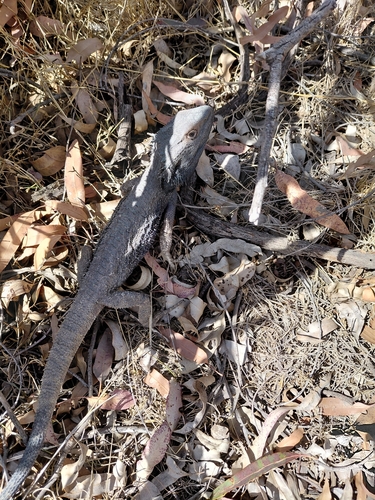
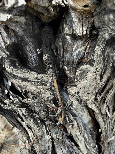
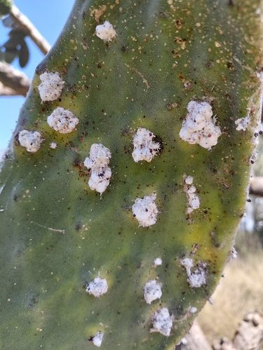
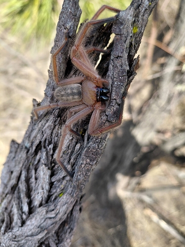
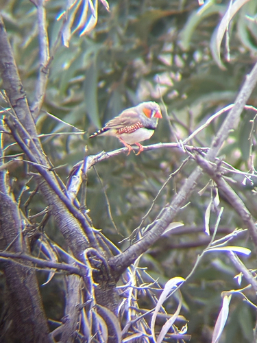
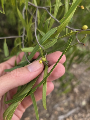
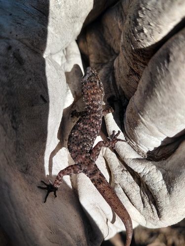
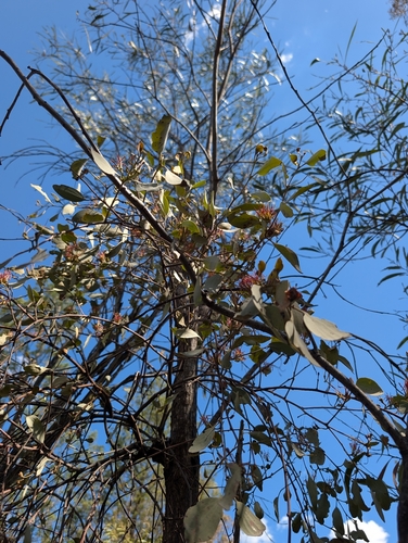
Research-grade observations from iNaturalist (within ~15 mi).
Events
Gallery
Official Identifiers
ABS — Australian Bureau of Statistics
- ASGS 2021
- SAL31564
- Population (Wikidata)
- 190
- Wikidata
- Q28428588
ASGS 2021 ID via Wikidata P10112
Sources
- • Wikipedia
- • Wikidata
- • Open-Meteo Air Quality (CAMS)
- • USGS Earthquake Catalog (global feed)
- • GBIF (Global Biodiversity Information Facility)
- • iNaturalist
- • Open-Meteo / sunrise-sunset.org
- • Wikipedia Pageviews API
- • Open Library
- • ABS — Australian Bureau of Statistics — ASGS 2021 ID via Wikidata P10112