Browse / Australia / Queensland / Redland City
Redland City
Queenslandcity

Redland City
Total population
159,222
Air quality index
Demographic figures from Australian Bureau of Statistics. Overview below cites Wikipedia and may reference a different year.
City facts
Facts from Wikidata (CC0).
Overview
Redland City, also known as the Redlands and formerly known as Redland Shire, is a local government area (LGA) and a part of Greater Brisbane in South East Queensland, Australia. With a population of 159,222 as of June 2021, Redland City is spread along the southern coast of Moreton Bay, covering 537.2 square kilometres (207.4 sq mi). The city borders the City of Brisbane to the west and north-west and Logan City to the south-west and south, while its islands are situated north of the City of Gold Coast.
Read more on WikipediaHistory & geography
History
The area now known as the Redlands was initially inhabited by the Jagera, Turrbal, and Quandamooka people. Some locations derive their names from Aboriginal languages, and known historic sites within the area include a bora ring at Mount Cotton. The Quandamooka are recognised as the traditional custodians of North Stradbroke Island, and more recently applied for native title over much of the Redlands' surrounding islands and mainland. Jandai (also known as Janday, Jandewal, Djendewal, Jundai, Goenpul and Jandawal), is one of the Aboriginal languages used on Stradbroke Island. Europeans first entered the Redlands in the late 18th century while mapping Moreton Bay: James Cook made observations of the then-undivided Stradbroke Island; Matthew Flinders landed on Coochiemudlo Island in 1799; and Robert Dixon later surveyed and named much of the area. By the 1840s, the coastal township of Cleveland was in contention to become a major port replacing Brisbane, but was ultimately not chosen due to the region's existing sandbars and shipwrecks, and an unfavourable review from Governor George Gipps during his 1842 visit. Louis Hope and other land purchasers began to develop significant infrastructure at this time. On 11 November 1879, under the Divisional Boards Act 1879, the Tingalpa Division was created to govern the area to the east of metropolitan Brisbane. The area around Cleveland split away to form the Cleveland Division on 30 May 1885. Under the Local Authorities Act 1902, both became Shires on 31 March 1903. The Tingalpa council met at Mount Cotton. On 1 October 1925, a sizeable portion of the Shire of Tingalpa (suburbs west of Tingalpa Creek, including Upper Mount Gravatt and Rochedale) became part of the new City of Brisbane along with 20 other local governments.…
Geography
Although most of the population resides on the main urban conglomeration based around the centres of Capalaba, Cleveland and Victoria Point, over 6,000 people live on islands in Moreton Bay that are part of the city. These are North Stradbroke, Coochiemudlo and the Southern Moreton Bay Islands of Karragarra, Lamb, Russell and Macleay. Tingalpa Creek rises on Mount Cotton, forming Leslie Harrison Dam, and marking the majority of the area's western boundary.
Excerpted from the corresponding Wikipedia article (CC BY-SA).
Geography
Coordinates & boundaries from the US Census TIGER/Line shapefiles.
Climate
10-year averages from ERA5 reanalysis (Open-Meteo).
Air quality
Current readings from Open-Meteo Air Quality API (Copernicus CAMS European reanalysis).
Walkability
Amenities nearby
Wildlife & biodiversity
Most-observed species
- Noisy MinerManorina melanocephala (Latham, 1801) · Aves17,452
- Torresian CrowCorvus orru Bonaparte, 1850 · Aves17,119
- Rainbow LorikeetTrichoglossus haematodus (Linnaeus, 1771) · Aves16,650
- Australian MagpieGymnorhina tibicen (Latham, 1802) · Aves16,033
- Australian IbisThreskiornis molucca (Cuvier, 1829) · Aves15,831
- Welcome SwallowHirundo neoxena Gould, 1842 · Aves13,332
- koalaPhascolarctos cinereus (Goldfuss, 1817) · Mammalia12,789
- Magpie-larkGrallina cyanoleuca (Latham, 1802) · Aves12,471
Citizen-science & research observations from the Global Biodiversity Information Facility (GBIF).
Earthquake history
Events from the USGS Earthquake Catalog (global) (FDSN Event Web Service).
Photos
Sights & places nearby
Notable people from here


People born within ~10 km, from Wikidata (CC0). Click any name for their Wikipedia article.
Nearby places in Queensland
- Point Talburpin5.1 mi away
- Lamb Island7 mi away · pop. 504
- Dunwich9.2 mi away · pop. 795
- Logan City11.6 mi away
- Kooringal17.4 mi away
- Point Lookout18 mi away · pop. 785
- Wongawallan22.2 mi away
- Currigee23.9 mi away · pop. 100
- Redcliffe26 mi away
- Tangalooma27.7 mi away
- Stanton Cross29.2 mi away
- Colleges Crossing29.5 mi away
Geography & sun
Elevation, sunrise/sunset and daylight from Open-Meteo. Solar climatology from NASA POWER.
Nearby airports
Public attention
Pageview totals from the Wikimedia Pageviews API.
Books about this place
Recent natural events nearby
Ground air-quality sensors
Recently spotted species
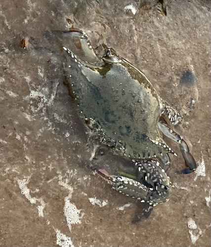

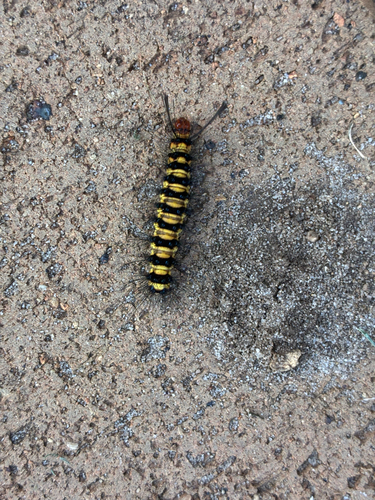
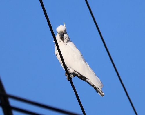
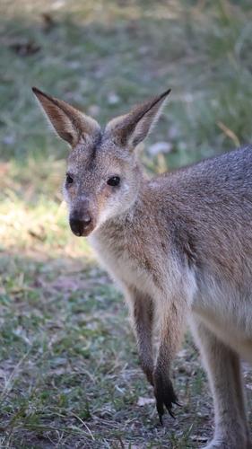
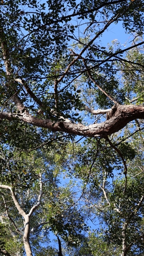
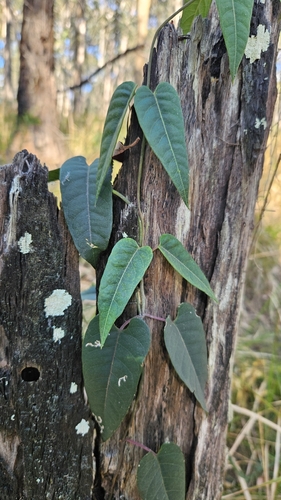
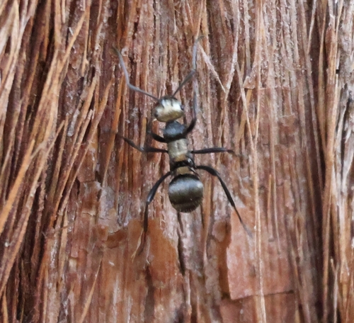
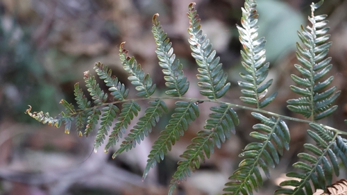
Research-grade observations from iNaturalist (within ~15 mi).
Events
Gallery
Geotagged photos within ~6 miles of Redland City, from Wikimedia Commons contributors.
 0.6 mi
 0.6 mi
 0.6 mi
 0.6 mi
 0.6 mi
 0.6 mi
 0.6 mi
 0.8 mi
 0.8 mi
 0.8 mi
 1 mi
1 mi 1 mi
1 mi 1 mi
1 mi 1 mi
1 mi.jpg) 1.2 mi
1.2 mi 1.5 mi
 1.8 mi
 2 mi
2 mi 2.2 mi
 2.2 mi
 2.2 mi
 2.2 mi
 2.3 mi
 2.3 mi
Photos via Wikimedia Commons — see each image page for license & attribution.
Official Identifiers
ABS — Australian Bureau of Statistics
- ASGS 2021
- LGA36250
- Population (Wikidata)
- 163,732
- Wikidata
- Q1492782
ASGS 2021 ID via Wikidata P10112
Sources
- • Wikipedia
- • Open-Meteo (ERA5 reanalysis)
- • Wikimedia Commons
- • Wikidata
- • Open-Meteo Air Quality (CAMS)
- • USGS Earthquake Catalog (global feed)
- • GBIF (Global Biodiversity Information Facility)
- • iNaturalist
- • Open-Elevation
- • Open-Meteo / sunrise-sunset.org
- • Wikipedia Pageviews API
- • ABS — Australian Bureau of Statistics — ASGS 2021 ID via Wikidata P10112