Browse / Australia / Queensland / Somerset Dam
Somerset Dam
Queenslandhamlet

Somerset Dam
Demographic figures from Australian Bureau of Statistics. Overview below cites Wikipedia and may reference a different year.
City facts
Overview
Somerset Dam is a rural town and locality in the Somerset Region, Queensland, Australia. When first being planned, it was unofficially known as the Stanley River township. In the 2021 census, the locality of Somerset Dam had a population of 78 people.
Read more on WikipediaHistory & geography
History
The town was constructed in 1935 to provide accommodation for those working on the construction of the dam and their families with the first businesses opening in 1936. The town was designed by civil engineer Charles Bank Mott like a suburban with gravel streets, electricity, street lights, reticulated water, stormwater drainage, and sewerage. Mott was seconded for three years from the Brisbane City Council. When the project commenced, the town was informally known as the Stanley River township. The Queensland Government decided to call the town Somerset after local pastoralist Henry Plantagenet Somerset, the Member of the Queensland Legislative Assembly for Stanley from 1904 to 1920. However, the postal authorities objected, fearing confusion with Somerset in Far North Queensland and Somerset in Tasmania. In January 1936 it was officially named Somerset Dam after the dam, which was named after Henry Plantagenet Somerset. As there was already a Somerset State School near Kilcoy (which had opened in 1915), the education authorities had decided to call the town's school Silverton. Silverton Provisional School opened in February 1936 at the end of First Avenue (). In 1958, it became Silverton State School. Circa 1959, it was renamed Somerset State School (the school of that name near Kilcoy having closed in 1943). On 24 January 1966, it renamed Somerset Dam State School. It closed on 31 December 2000. A community hall was officially opened on Wednesday 22 July 1936. It was constructed by the Stanley River Works Board (who were responsible for the construction of the dam) and could seat 200 people. It could be used as a dance hall and had projection facilities to be used as a cinema. Initially opened as Somerset Hall, by 1938 it had become known as Coronation Hall…
Geography
The town lies on the slopes of Mount Brisbane () on the western bank of the Stanley River immediately below and south-west of the wall of the Somerset Dam () which impounds the river creating Lake Somerset (). The Deer Reserve National Park () is in the north-west of the locality. The national park is and extends into the neighbouring localities of Hazeldean to the north, Cooeeimbardi to the north-west and Fulham further to the north-west.
Excerpted from the corresponding Wikipedia article (CC BY-SA).
Geography
Coordinates & boundaries from the US Census TIGER/Line shapefiles.
Climate
Air quality
Walkability
Amenities nearby
Wildlife & biodiversity
Earthquake history
Photos
Sights & places nearby
Notable people from here
Nearby places in Queensland
Geography & sun
Nearby airports
Public attention
Books about this place
Recent natural events nearby
Ground air-quality sensors
Recently spotted species
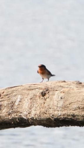

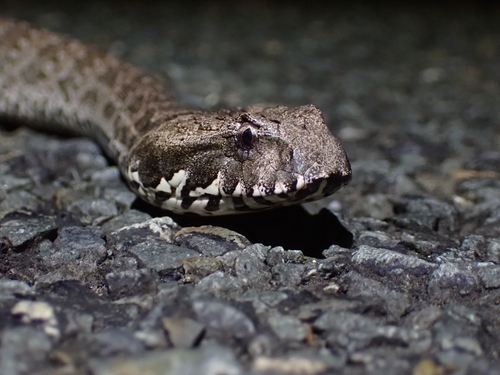
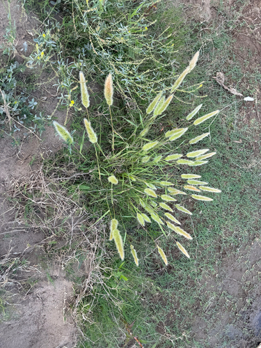
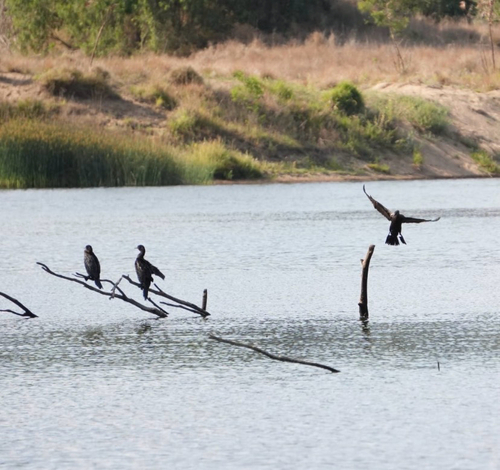
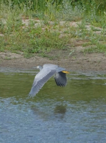
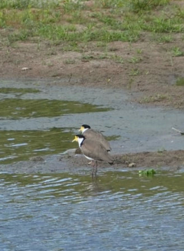
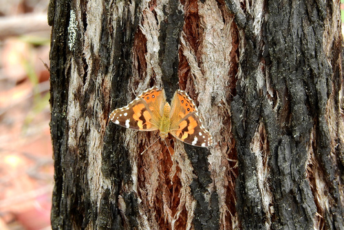
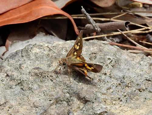
Research-grade observations from iNaturalist (within ~15 mi).
Events
Gallery
Official Identifiers
ABS — Australian Bureau of Statistics
- ASGS 2021
- SAL32583
- Population (Wikidata)
- 69
- Wikidata
- Q31107987
ASGS 2021 ID via Wikidata P10112
Sources
- • Wikipedia
- • iNaturalist
- • ABS — Australian Bureau of Statistics — ASGS 2021 ID via Wikidata P10112