Browse / Australia / South Australia / Tarcoola
Tarcoola
South Australiahamlet
Total population
0
Air quality index
Demographic figures from Australian Bureau of Statistics. Overview below cites Wikipedia and may reference a different year.
City facts
Overview
Set in South Australia, Australia, Tarcoola is recorded in open geodata as a hamlet. Located at -30.709°, 134.566°, Tarcoola occupies a warm-temperate portion of the southern hemisphere. No reliable population estimate is published for this entry in the open data we rely on. Climate records indicate average highs near 79.5°F and lows near 56.4°F and about 8.5 in of annual precipitation (an arid total). Solar-resource estimates put the area at about 2,106 kWh/m² of solar irradiance per year with sunshine for roughly 82% of daylight hours. Its latitude implies a climate characterised by warm summers and cool winters. Read on for charts and tables covering demographics, climate, hazards, schools, wildlife and other open-data indicators for Tarcoola.
Summary composed automatically from structured open data on this page. See our Terms for details.
History & geography
Geography
Coordinates & boundaries from the US Census TIGER/Line shapefiles.
Climate
10-year averages from ERA5 reanalysis (Open-Meteo).
Air quality
Current readings from Open-Meteo Air Quality API (Copernicus CAMS European reanalysis).
Walkability
Amenities nearby
Wildlife & biodiversity
Most-observed species
- Buffel-grassCenchrus ciliaris L. · Liliopsida16
- EmuDromaius novaehollandiae (Latham, 1790) · Aves4
- Sturt's desert-peaSwainsona formosa (G.Don) Joy Thomps. · Magnoliopsida3
- Crested PigeonOcyphaps lophotes (Temminck, 1822) · Aves2
- Spiny Fan-flowerScaevola spinescens R.Br. · Magnoliopsida2
- round-leaf emu bushEremophila rotundifolia F.Muell. · Magnoliopsida2
- Common Spadefoot ToadNeobatrachus sudelli (Lamb, 1911) · Amphibia1
- Lesser Long-eared BatNyctophilus geoffroyi Leach, 1821 · Mammalia1
Citizen-science & research observations from the Global Biodiversity Information Facility (GBIF).
Earthquake history
Most recent
- M 4.3 — 2023-02-28181 km N of Ceduna, Australia
Events from the USGS Earthquake Catalog (global) (FDSN Event Web Service).
Photos
Sights & places nearby
Notable people from here
Nearby places in South Australia
- Kingoonya46.8 mi away · pop. 4
- Koonibba Aboriginal Community106.5 mi away
- Koongawa Dundee106.6 mi away · pop. 11
- Yarilena110.3 mi away · pop. 63
- Denial Bay112.4 mi away · pop. 94
- Pimbaacia113.1 mi away
- Smoky Bay120.9 mi away · pop. 162
- Petina122.1 mi away
- Woomera138.1 mi away · pop. 132
- Poochera139.9 mi away · pop. 43
- Jacinth Ambrosia Village142 mi away
- Streaky Bay145.8 mi away · pop. 967
Geography & sun
Elevation, sunrise/sunset and daylight from Open-Meteo. Solar climatology from NASA POWER.
Nearby airports
Public attention
Pageview totals from the Wikimedia Pageviews API.
Books about Tarcoola
Search results from Open Library.
Recent natural events nearby
Ground air-quality sensors
Recently spotted species
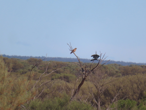
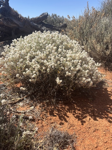
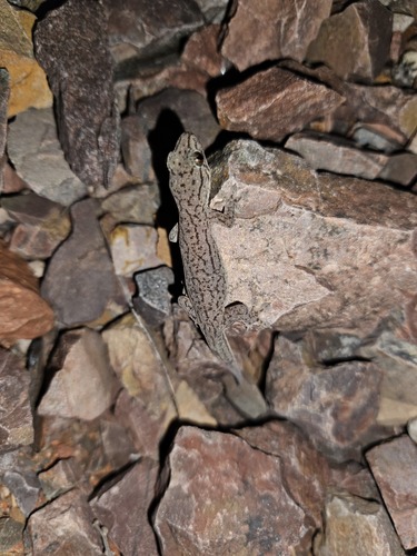
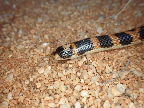
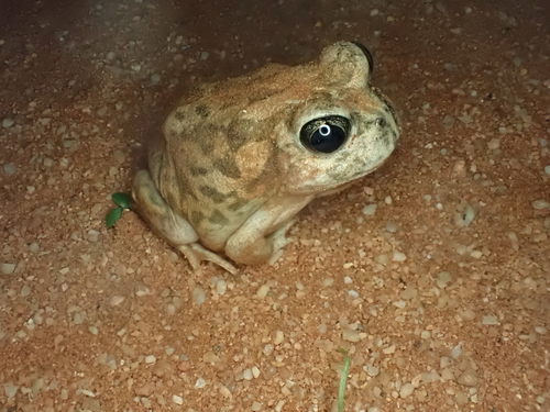
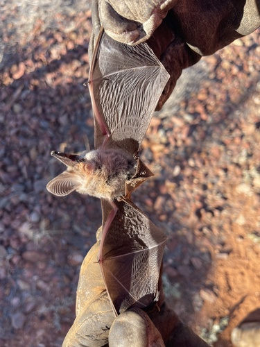
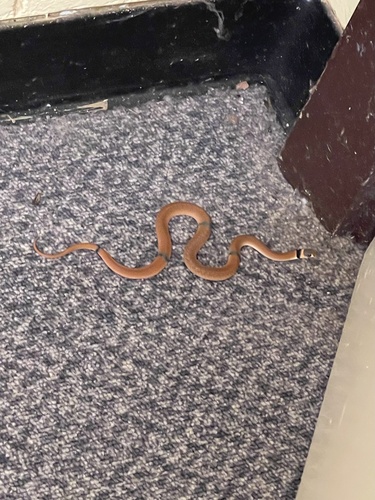
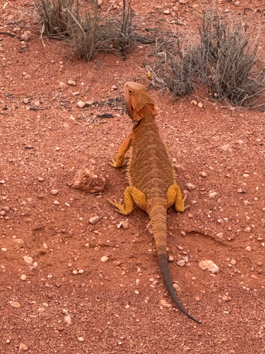
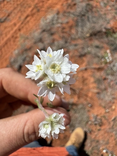
Research-grade observations from iNaturalist (within ~15 mi).
Events
Gallery
Geotagged photos within ~6 miles of Tarcoola, from Wikimedia Commons contributors.
.jpg)
.jpg)


.jpg)
.jpg)
.jpg)


Photos via Wikimedia Commons — see each image page for license & attribution.
Official Identifiers
ABS — Australian Bureau of Statistics
- ASGS 2021
- SAL41424
- Population (Wikidata)
- 0
- Wikidata
- Q1287093
ASGS 2021 ID via Wikidata P10112
Sources
- • Open-Meteo (ERA5 reanalysis)
- • Wikimedia Commons
- • Wikidata
- • Open-Meteo Air Quality (CAMS)
- • USGS Earthquake Catalog (global feed)
- • GBIF (Global Biodiversity Information Facility)
- • iNaturalist
- • Open-Meteo / sunrise-sunset.org
- • Wikipedia Pageviews API
- • Open Library
- • ABS — Australian Bureau of Statistics — ASGS 2021 ID via Wikidata P10112