Browse / Australia / Queensland / Wallangarra
Wallangarra
Queenslandtown

Wallangarra
Total population
360
Demographic figures from Australian Bureau of Statistics. Overview below cites Wikipedia and may reference a different year.
City facts
Facts from Wikidata (CC0).
Overview
Wallangarra is a rural town and locality in the Southern Downs Region, Queensland, Australia. It is on the border with New South Wales. It is the third-most southerly town in Queensland, 258 kilometres (160 mi) south west of Brisbane. Wallangarra is on the Queensland side of the border and Jennings is on the New South Wales side. In the 2021 census, the locality of Wallangarra had a population of 440.
Read more on WikipediaHistory & geography
History
In 1885, the Queensland Government announced that a town would be formed where the railway line between Queensland and New South Wales would meet. On 29 June 1885, 179 lots were offered for sale at . The town would provide a break-of-gauge between Queensland's narrow gauge Southern railway line of and New South Wales's standard gauge Main North railway line of when the two systems came together in 1888. Two railway stations were created within the area. One was named Wallan-garra railway station () and the town took its name from the station but used the spelling Wallangarra (with most people using the same spelling for the railway station). Bald Mountain railway station () was the other railway station and is now abandoned. On 28 January 1919, the Queensland Government placed restrictions on the border crossing at Wallangarra to prevent the spread of the Spanish flu into Queensland, which were enforced by the Queensland Police. A medical screening process was used to determine if Queensland residents could safely return to the state. The railway was the only rail link between Queensland and New South Wales until a standard gauge track was completed via Kyogle in 1930, with the completion of the bridge over the Clarence River at Grafton. From that time on, the Wallangarra railway station lessened in importance. Scheduled rail services ended in 1997. In 2003, after major refurbishment, the station was reopened as a museum. The railway line from Stanthorpe to Wallangarra continued to be maintained, and steam tourist trains occasionally operated to Wallangarra until bushfires in late 2023 destroyed wooden bridge links along the route. As of January 2026, the steam trains terminate at Ballandean. The Anderson Meat Packing Company was restarted by Mr. A.W. Anderson in…
Geography
Wallangarra lies in a valley between two ranges of mountains, which are branches of the Great Dividing Range. It is above sea level. There is a gap between the more Westerly range at Wyberba, about five kilometres north of Wallangarra. This gap has made Wallangarra the major inland border crossing for the New England Highway and what was the first railway line between Brisbane and Sydney. It is situated on the northern periphery of the New England Peppermint Grassy Woodland.
Excerpted from the corresponding Wikipedia article (CC BY-SA).
Geography
Coordinates & boundaries from the US Census TIGER/Line shapefiles.
Climate
Air quality
Walkability
Amenities nearby
Wildlife & biodiversity
Most-observed species
- Superb FairywrenMalurus cyaneus (Ellis, 1782) · Aves2,297
- Yellow-faced HoneyeaterCaligavis chrysops (Latham, 1801) · Aves1,734
- Crimson RosellaPlatycercus elegans (Gmelin, 1788) · Aves1,713
- Australian MagpieGymnorhina tibicen (Latham, 1802) · Aves1,701
- Pied CurrawongStrepera graculina (Shaw, 1790) · Aves1,662
- White-throated TreecreeperCormobates leucophaea (Latham, 1802) · Aves1,651
- Gray ShrikethrushColluricincla harmonica (Latham, 1802) · Aves1,584
- Willie-wagtailRhipidura leucophrys (Latham, 1802) · Aves1,523
Citizen-science & research observations from the Global Biodiversity Information Facility (GBIF).
Earthquake history
Events from the USGS Earthquake Catalog (global) (FDSN Event Web Service).
Photos
Sights & places nearby
Notable people from here
Nearby places in Queensland
- Mount Tully13 mi away
- Severnlea15.4 mi away
- Killarney46.3 mi away · pop. 685
- Tannymorel47.7 mi away
- The Hermitage50.7 mi away
- Inglewood62.3 mi away · pop. 760
- Moogerah68.4 mi away
- Mount Alford71.6 mi away
- Yelarbon75.3 mi away · pop. 222
- Millmerran82.8 mi away · pop. 1,371
- Roadvale83.3 mi away
- Laravale84.1 mi away
Geography & sun
Elevation, sunrise/sunset and daylight from Open-Meteo. Solar climatology from NASA POWER.
Nearby airports
Public attention
Pageview totals from the Wikimedia Pageviews API.
Books about this place
Recent natural events nearby
Ground air-quality sensors
Recently spotted species
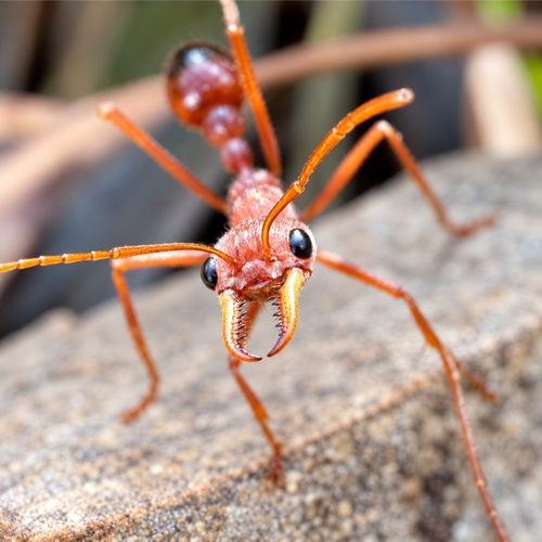
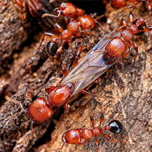
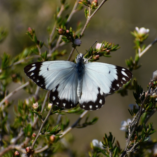
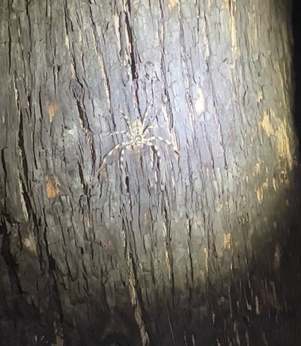
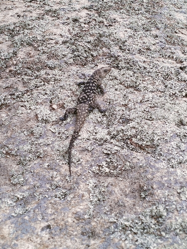
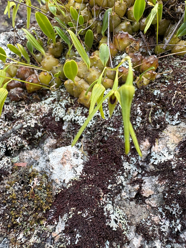
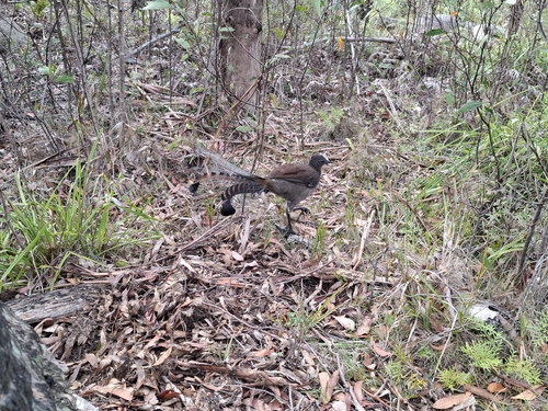
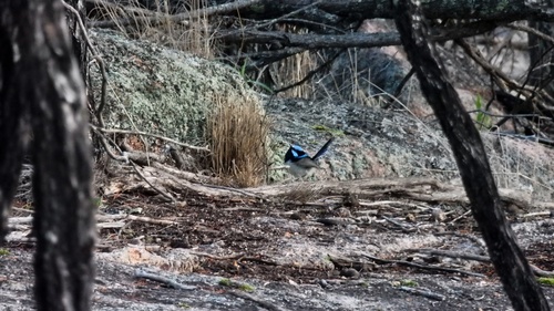
Research-grade observations from iNaturalist (within ~15 mi).
Events
Gallery
Sources
- • Wikipedia
- • Wikidata
- • USGS Earthquake Catalog (global feed)
- • GBIF (Global Biodiversity Information Facility)
- • iNaturalist
- • Open-Meteo / sunrise-sunset.org
- • Wikipedia Pageviews API