Browse / Australia / Queensland / Tannymorel
Tannymorel
Queenslandhamlet

Tannymorel
Demographic figures from Australian Bureau of Statistics. Overview below cites Wikipedia and may reference a different year.
City facts
Overview
Tannymorel is a rural town and locality in the Southern Downs Region, Queensland, Australia. In the 2021 census, the locality of Tannymorel had a population of 148 people.
Read more on WikipediaHistory & geography
History
The name Tannymorel comes from a village in Ireland and means a bend in the creek. It was named by Patrick Leslie and Ernest Dalrymple, both of whom were from Scotland. Farm Creek Provisional School opened in May 1877 with teacher Mrs Fanny Spencely. On 18 January 1892, it became Farm Creek State School. In 1910, it was renamed Tannymorel State School. In 1914-1915, a new school building was erected with the old building being relocated to Mount Colliery to establish Mount Colliery State School. The school was at 2 Oak Street (). The school's website was archived. The Killarney railway line from Warwick to Killarney reached Tannymorel on 24 August 1885 with town being served by the Tannymorel railway station (). Grayson railway station was to the south-east of the town on Grayson Siding Road (). The Mount Colliery Tramway, a private -long horse tramway, opened in 1908. The tramway joined the line at Tannymorel to transport coal from a nearby mine to the railway. The Killarney line, together with the colliery tramway, closed on 1 May 1964. In 1919 the church building was relocated to Amiens. A Presbyterian church was officially opened on Wednesday 22 June 1904 by the Reverend R.J. Sinclair. A Church of Christ church was erected circa July 1910. Due to declining congregation numbers, the church closed and was relocated in 1950 to Myall Street in Dalby to establish a new church there. St Aidan's Anglican Church was dedicated on Sunday 28 February 1915 by Archbishop St Clair Donaldson. The last normal service held in the church was at Christmas 2010. Its closure in 2012 was approved by Archbishop Phillip Aspinall and Bishop Rob Nolan conducted the deconsecration service on 26 May 2012. The church building at 11 Oak Street () was sold into private ownership in June…
Excerpted from the corresponding Wikipedia article (CC BY-SA).
Geography
Coordinates & boundaries from the US Census TIGER/Line shapefiles.
Climate
Air quality
Walkability
Amenities nearby
Wildlife & biodiversity
Most-observed species
- Australian MagpieGymnorhina tibicen (Latham, 1802) · Aves599
- Torresian CrowCorvus orru Bonaparte, 1850 · Aves576
- Noisy MinerManorina melanocephala (Latham, 1801) · Aves535
- GalahEolophus roseicapilla (Vieillot, 1817) · Aves472
- Lewin's HoneyeaterMeliphaga lewinii (Swainson, 1837) · Aves370
- Sulphur-crested CockatooCacatua galerita (Latham, 1790) · Aves346
- Rainbow LorikeetTrichoglossus haematodus (Linnaeus, 1771) · Aves340
- Pied CurrawongStrepera graculina (Shaw, 1790) · Aves337
Citizen-science & research observations from the Global Biodiversity Information Facility (GBIF).
Earthquake history
Events from the USGS Earthquake Catalog (global) (FDSN Event Web Service).
Photos
Sights & places nearby
Notable people from here


People born within ~10 km, from Wikidata (CC0). Click any name for their Wikipedia article.
Nearby places in Queensland
Geography & sun
Elevation, sunrise/sunset and daylight from Open-Meteo. Solar climatology from NASA POWER.
Nearby airports
Public attention
Pageview totals from the Wikimedia Pageviews API.
Books about this place
Recent natural events nearby
Ground air-quality sensors
Recently spotted species
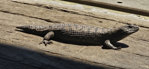
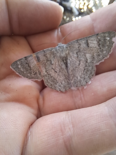
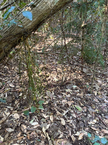
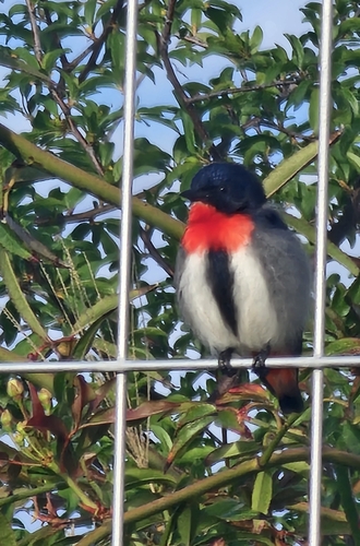
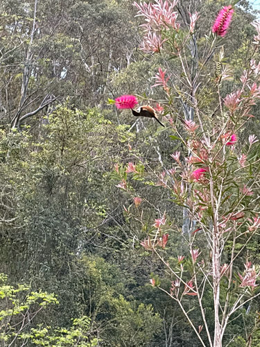
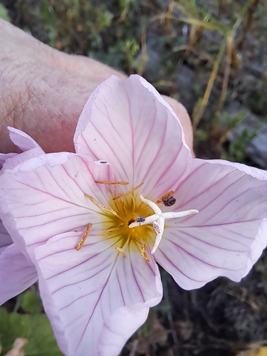
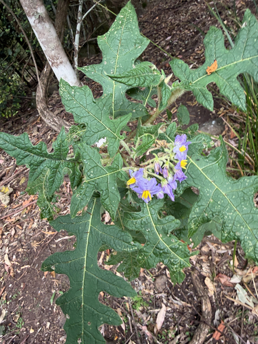
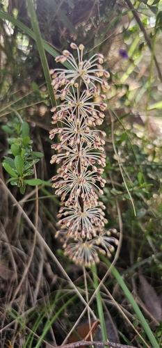
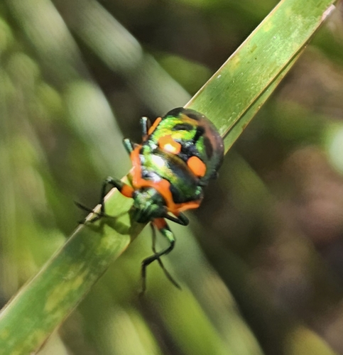
Research-grade observations from iNaturalist (within ~15 mi).
Events
Gallery
Official Identifiers
ABS — Australian Bureau of Statistics
- ASGS 2021
- SAL32743
- Population (Wikidata)
- 148
- Wikidata
- Q24189951
ASGS 2021 ID via Wikidata P10112
Sources
- • Wikipedia
- • Wikidata
- • USGS Earthquake Catalog (global feed)
- • GBIF (Global Biodiversity Information Facility)
- • iNaturalist
- • Open-Meteo / sunrise-sunset.org
- • Wikipedia Pageviews API
- • ABS — Australian Bureau of Statistics — ASGS 2021 ID via Wikidata P10112