Browse / Australia / Queensland / Elbow Valley
Elbow Valley
Queenslandhamlet
Demographic figures from Australian Bureau of Statistics. Overview below cites Wikipedia and may reference a different year.
City facts
Overview
Elbow Valley is a rural locality in the Southern Downs Region, Queensland, Australia. It is on the border of New South Wales. In the 2021 census, Elbow Valley had a population of 127 people.
Read more on WikipediaHistory & geography
History
The locality presumably takes its name from the Elbow River, which was named by botanist and explorer Allan Cunningham in his field notes on 6 June 1827. On 1 January 1909, it became Elbow Valley State School. It closed in 1946. In 1952, the school building was relocated to the St George area. It was at 27 Church Lane (approx ). It closed in 1982 and is now used as a house. It is listed on the Southern Downs Local Heritage Register. Westmore State School opened in 1916 and closed in 1923. This school described as from Killarney was presumably in the vicinity of Westmore Road () and the Westmoor pastoral property, and may have been associated with the Westmore Cheese factory which opened in January 1914 and was from the school. It was a "tent school" and officially opened on 1 July 1916 by Francis Grayson, Member of the Queensland Legislative Assembly for Cunningham, with food provided by the cheese factory. In June 1927, the Queensland Government called for tenders to remove the school building.
Excerpted from the corresponding Wikipedia article (CC BY-SA).
Geography
Coordinates & boundaries from the US Census TIGER/Line shapefiles.
Climate
Air quality
Walkability
Amenities nearby
Wildlife & biodiversity
Earthquake history
Photos
Sights & places nearby
Notable people from here
Nearby places in Queensland
Geography & sun
Elevation, sunrise/sunset and daylight from Open-Meteo. Solar climatology from NASA POWER.
Nearby airports
Public attention
Pageview totals from the Wikimedia Pageviews API.
Books about this place
Recent natural events nearby
Ground air-quality sensors
Recently spotted species
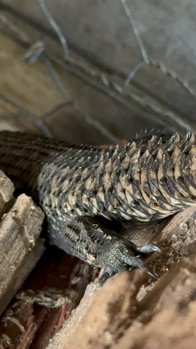
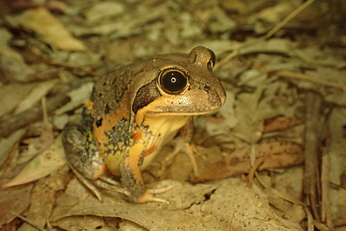
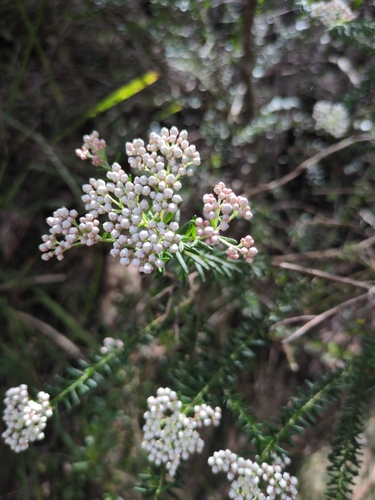
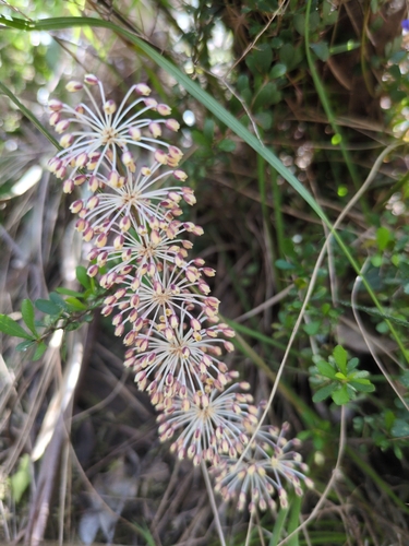
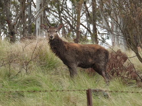
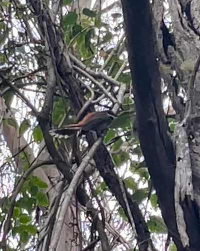
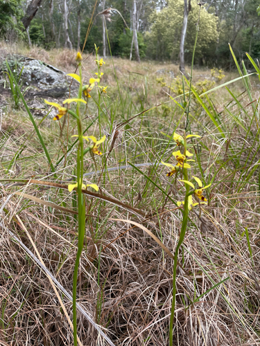
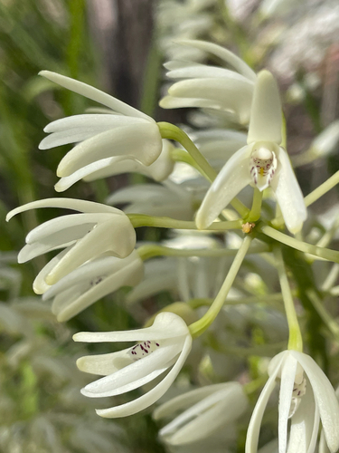
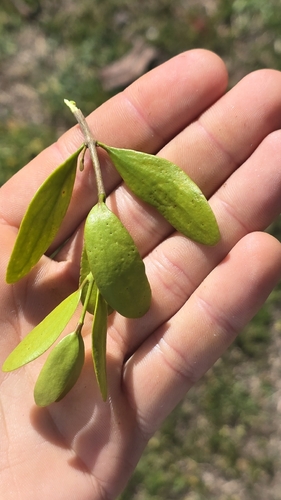
Research-grade observations from iNaturalist (within ~15 mi).
Events
Gallery
Official Identifiers
ABS — Australian Bureau of Statistics
- ASGS 2021
- SAL30956
- Population (Wikidata)
- 95
- Wikidata
- Q48808047
ASGS 2021 ID via Wikidata P10112
Sources
- • Wikipedia
- • Wikidata
- • iNaturalist
- • Open-Meteo / sunrise-sunset.org
- • Wikipedia Pageviews API
- • ABS — Australian Bureau of Statistics — ASGS 2021 ID via Wikidata P10112