Browse / Australia / Queensland / Ballandean
Ballandean
Queenslandvillage

Ballandean
Demographic figures from Australian Bureau of Statistics. Overview below cites Wikipedia and may reference a different year.
City facts
Overview
Ballandean is a rural town and locality in the Southern Downs Region, Queensland, Australia. The town has a number of nearby vineyards which attract tourists to the area. In the 2021 census, the locality of Ballandean had a population of 316 people.
Read more on WikipediaHistory & geography
History
The name Ballandean derives from the name of a pastoral run, belonging to Henry Hayter Nicol in 1841, believed to be linked to his childhood association with Ballindean House, near Inchture, Perthshire, Scotland. Thomas Henry Fletcher built the Britannia Inn in the same year which attracted other businesses to the area. Fletcher went on to establish the first commercial orchard on the Granite Belt.Ballandean Post Office opened on 1 January 1873. Land in Ballandean was open for selection on 17 April 1877; were available. Ballandean State School opened on 18 January 1909 under head teacher Frances Emily Wallace. Apple Vale State School opened on 19 February 1914. In 1924, it became a half-time school in conjunction with Somme State School in Somme (meaning the two schools shared a single teacher). Both schools closed in August 1927. Apple Vale State School was on the south-west corner of Sundown Road and Mcmeniman Road (). Although it has now closed, the church building is still located at 12 Bents Road ().
Geography
The Severn River marks part of the northern boundary. Kelvin Grove Creek, Washpool Creek, Accommodation Creek and Smiths Creek all flow through Ballandean into the Severn River. The New England Highway passes through Ballandean from north to south in the north-east of Ballandean in close parallel to the Southern railway line. The Ballandean railway station is in this area and the urban development surrounds the railway station. The station is now closed as there are no passenger services on this line. The rest of the locality is predominantly farmland.
Excerpted from the corresponding Wikipedia article (CC BY-SA).
Geography
Coordinates & boundaries from the US Census TIGER/Line shapefiles.
Climate
Air quality
Walkability
Amenities nearby
Wildlife & biodiversity
Earthquake history
Photos
Sights & places nearby
Notable people from here
Nearby places in Queensland
- Severnlea7.7 mi away
- Mount Tully8 mi away
- Wallangarra10.1 mi away · pop. 360
- Killarney42.3 mi away · pop. 685
- Tannymorel42.8 mi away
- The Hermitage43.9 mi away
- Inglewood53.3 mi away · pop. 760
- Moogerah64.6 mi away
- Yelarbon67.9 mi away · pop. 222
- Mount Alford68.2 mi away
- Millmerran72.7 mi away · pop. 1,371
- Brookstead75.9 mi away
Geography & sun
Elevation, sunrise/sunset and daylight from Open-Meteo. Solar climatology from NASA POWER.
Nearby airports
Public attention
Pageview totals from the Wikimedia Pageviews API.
Books about this place
Recent natural events nearby
Ground air-quality sensors
Recently spotted species
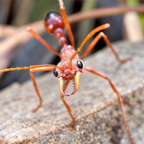
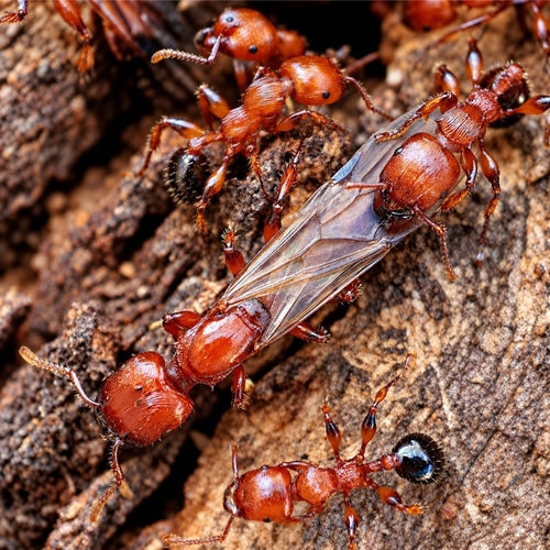
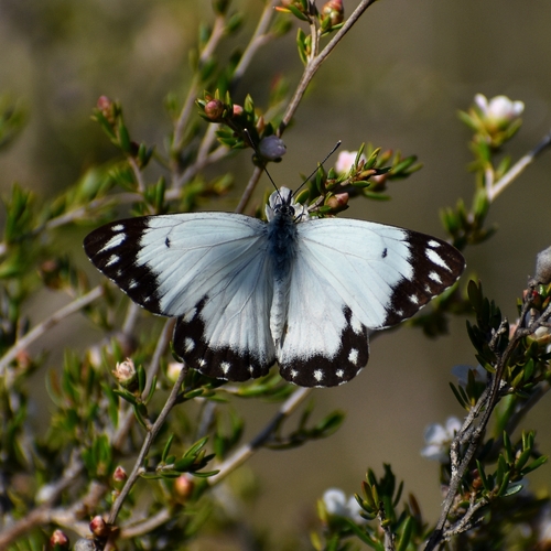
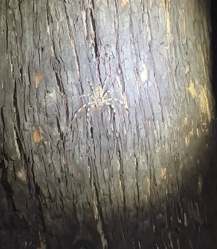
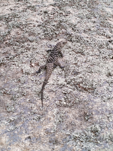
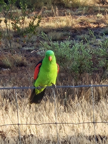
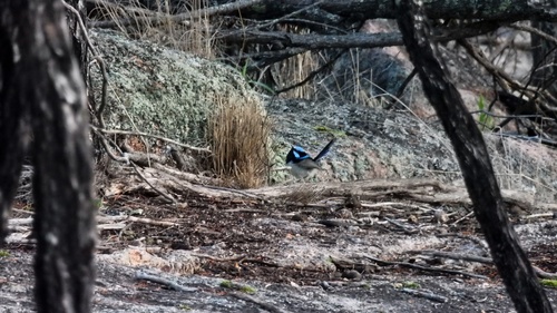
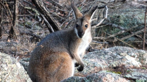
Research-grade observations from iNaturalist (within ~15 mi).
Events
Gallery
Official Identifiers
ABS — Australian Bureau of Statistics
- ASGS 2021
- SAL30128
- Population (Wikidata)
- 316
- Wikidata
- Q14935339
ASGS 2021 ID via Wikidata P10112
Sources
- • Wikipedia
- • iNaturalist
- • Open-Meteo / sunrise-sunset.org
- • Wikipedia Pageviews API
- • ABS — Australian Bureau of Statistics — ASGS 2021 ID via Wikidata P10112