Browse / Botswana / Central / Motshegaletau
Motshegaletau
Centralvillage
No image yet
Elevation1193 m
Coordinates-22.57°, 26.40°
Demographic figures from Statistics Botswana. Overview below cites Wikipedia and may reference a different year.
Loading additional data from public sources…0 / 11
CensusWikipediaWeatherPlacesPeopleEnvironmentHealth & SchoolsRelatedGeography & CultureLive MonitoringEvents & Gallery
0% completeCity facts
Overview
Motshegaletau is a village in Central District of Botswana. The village is located 80 km west of Palapye, and it has a primary school. The population was 1,194 in 2001 census.
History & geography
Geography
Latitude
-22.5742
Longitude
26.3963
Water area
—
Coordinates & boundaries from the US Census TIGER/Line shapefiles.
Climate
Air quality
Walkability
Amenities nearby
Wildlife & biodiversity
Earthquake history
Photos
Sights & places nearby
Notable people from here
Nearby places in Central
Geography & sun
Elevation
3,914 ft (1193 m)
Avg solar (kWh/m²/day)
5.87
Annual solar (kWh/m²)
2,142
Elevation, sunrise/sunset and daylight from Open-Meteo. Solar climatology from NASA POWER.
Nearby airports
Public attention
Wikipedia views (last 30 days)
24
Avg daily Wikipedia views
1
Attention level
Obscure
Pageview totals from the Wikimedia Pageviews API.
Books about this place
Recent natural events nearby
Ground air-quality sensors
Recently spotted species
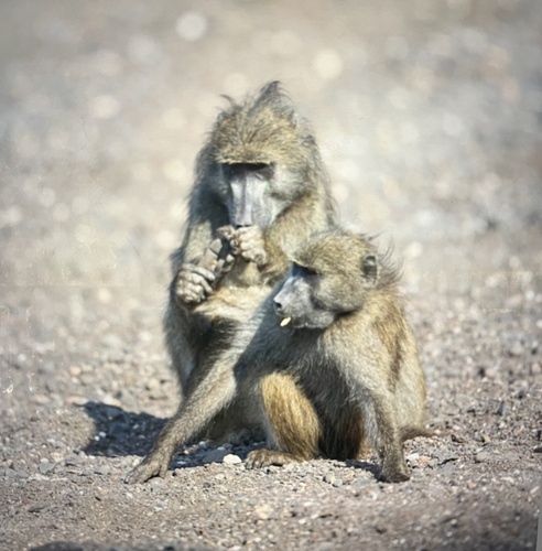
Research-grade observations from iNaturalist (within ~15 mi).
Events
Gallery
Sources
- • Wikipedia
- • Wikidata
- • iNaturalist
- • Open-Elevation
- • Open-Meteo / sunrise-sunset.org
- • Wikipedia Pageviews API
- • Wikidata SPARQL (CC0) — population, area, elevation, inception, head of government, Commons image