Browse / United States / California / Acton
Acton
CaliforniaCDP

Acton
Total population
7,880
Median home value
$733,400
Bachelor's+
Median income
$113,000
Demographic figures from US Census Bureau · ACS 5-year estimates. Overview below cites Wikipedia and may reference a different year.
City facts
Overview
Acton is an unincorporated community and census-designated place (CDP) in Los Angeles County, California, United States. According to the 2020 census, Acton had a population of 7,431.
Read more on WikipediaHistory & geography
History
The town originally had served as a railroad camp from 1873 to 1876 when the Saugus-Mojave section of the Southern Pacific Railroad was under construction. Acton was once considered for the State capital of California. California Governor Henry T. Gage (1899–1903) owned the Governor Mine, hence the name, and sought to relocate the capital to Acton. This effort ultimately failed and the capital was not moved from Sacramento. In the late 1880s, Acton started to become more of a ranching and farming community. In 1889 Acton's first hotel and its first saloon, the "49er" (formerly Sutter's Mill), was opened and is still in business today.
Geography
Acton is located at (34.472777, -118.183696), east of Santa Clarita and south of Palmdale. According to the United States Census Bureau, the CDP has a total area of , over 99% of it land. Mount Gleason, one of the peaks of the San Gabriel Mountains, is located south of Acton and can be seen in the town or by passersby on the 14. This region experiences warm (but not very hot) and dry summers, with no average monthly temperatures above . According to the Köppen Climate Classification system, Acton has a warm-summer Mediterranean climate, abbreviated Csb on climate maps. Summer daytime temperatures average and above.
Excerpted from the corresponding Wikipedia article (CC BY-SA).
Demographics & economy
Race & ethnicity
Source: US Census Bureau — American Community Survey, 5-year estimates.
Geography
Coordinates & boundaries from the US Census TIGER/Line shapefiles.
Climate
Current forecast
Forecast for Acton, CA from NOAA NWS API.
Air quality
Industrial & pollution facilities
Natural hazard risk
Health (adults)
Age-adjusted prevalence estimates from CDC PLACES (latest release).
Walkability
Amenities nearby
Wildlife & biodiversity
Most-observed species
- Common RavenCorvus corax Linnaeus, 1758 · Aves4,500
- House FinchHaemorhous mexicanus (P.L.Statius Müller, 1776) · Aves3,545
- Mourning DoveZenaida macroura (Linnaeus, 1758) · Aves2,667
- California/Woodhouse's Scrub-JayAphelocoma californica (Vigors, 1839) · Aves2,448
- Lesser GoldfinchSpinus psaltria (Say, 1822) · Aves2,407
- California TowheeMelozone crissalis (Vigors, 1839) · Aves2,394
- White-crowned SparrowZonotrichia leucophrys (J.R.Forster, 1772) · Aves2,321
- Anna's HummingbirdCalypte anna (R.Lesson, 1829) · Aves2,303
Citizen-science & research observations from the Global Biodiversity Information Facility (GBIF).
Schools
Largest nearby schools
- iLEAD HybridOther · Acton · 3,575 students · 20.8:1 ratio
- Highland HighHigh · Palmdale · 2,790 students · 25.6:1 ratio
- Palmdale HighHigh · Palmdale · 2,443 students · 23.3:1 ratio
- Palmdale Aerospace AcademyOther · Palmdale · 2,278 students · 25.6:1 ratio
- David G. Millen Law and Government Magnet AcademyMiddle · Palmdale · 1,023 students · 23.8:1 ratio
- Antelope Valley Learning AcademyOther · Palmdale · 1,013 students · 27.4:1 ratio
- Desert Willow Fine Arts Sci and Tech Magnet AcadMiddle · Palmdale · 974 students · 22.1:1 ratio
- Esperanza ElementaryElementary · Palmdale · 950 students · 26.4:1 ratio
Public K–12 schools within ~10 mi from Urban Institute Education Data Portal (NCES Common Core of Data, 2022).
Earthquake history
Most recent
- M 2.53 — 2026-09-1811 km N of Fillmore, CA
- M 2.94 — 2026-09-174 km SSE of Compton, CA
- M 2.56 — 2026-09-1327 km SSE of Malibu, CA
- M 2.65 — 2026-09-124 km E of Lennox, CA
- M 2.62 — 2026-09-125 km WNW of Willowbrook, CA
- M 2.62 — 2026-09-116 km W of Edwards Air Force Base, CA
Events from the USGS Earthquake Catalog (global) (FDSN Event Web Service).
Photos
Sights & places nearby
Notable people from here
People born within ~10 km, from Wikidata (CC0). Click any name for their Wikipedia article.
Nearby places in California
- Leona Valley10.2 mi away · pop. 1,465
- Quartz Hill10.9 mi away
- Littlerock11.7 mi away
- La Crescenta-Montrose18.4 mi away
- La Cañada Flintridge19.8 mi away · pop. 20,573
- Lake Los Angeles21.6 mi away · pop. 13,051
- East Pasadena25.6 mi away
- Duarte26.7 mi away · pop. 22,184
- North El Monte28.7 mi away
- East Los Angeles32.1 mi away
- Piñon Hills32.1 mi away
- Avocado Heights33.3 mi away
Geography & sun
Elevation, sunrise/sunset and daylight from Open-Meteo. Solar climatology from NASA POWER.
Nearby airports
Public attention
Pageview totals from the Wikimedia Pageviews API.
Books about Acton


Search results from Open Library.
Recent natural events nearby
- Wildfire RIDGE, Los Angeles, CaliforniaWildfires · 2026-08-07 · 42 mi
- Wildfire BUZZARD, Kern, CaliforniaWildfires · 2026-08-05 · 50 mi
- Wildfire PLAINS, San Luis Obispo, CaliforniaWildfires · 2026-08-12 · 121 mi
- Prescribed Fire CRAWFORD CORRAL RX, Tulare, CaliforniaWildfires · 2026-09-19 · 152 mi
- Wildfire Plaskett, Monterey, CaliforniaWildfires · 2026-08-26 · 207 mi
- Wildfire DOME, Mariposa, CaliforniaWildfires · 2026-09-15 · 227 mi
- Wildfire Timber, Monterey, CaliforniaWildfires · 2026-08-09 · 232 mi
Wildfires, storms and other events from NASA EONET (last 12 months, within 250 mi).
Ground air-quality sensors
Recently spotted species
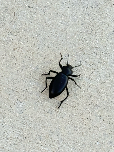
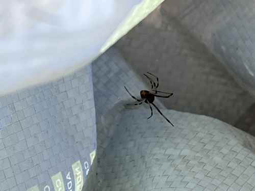
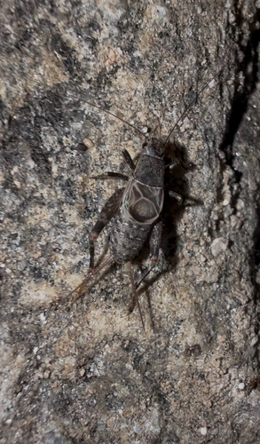
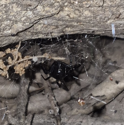
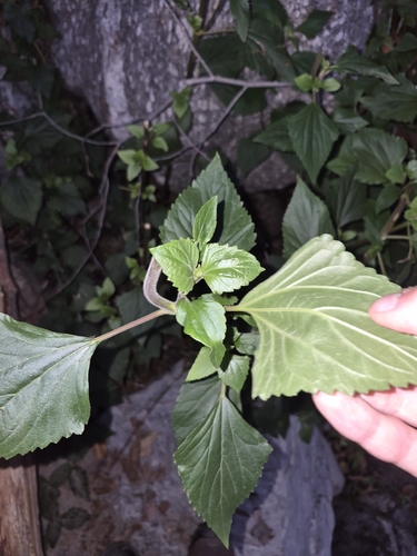
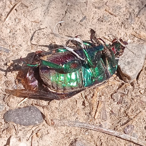
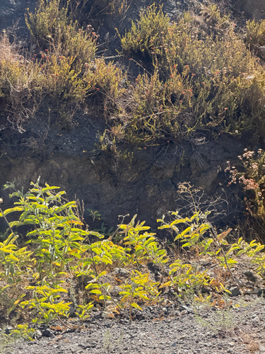
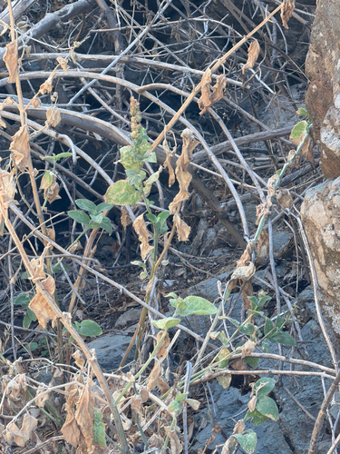
Research-grade observations from iNaturalist (within ~15 mi).
Nearest stream gauge
Live readings from USGS NWIS · measured 2026-10-01 16:15 UTC.
Events
Gallery
Sources
- • Wikipedia
- • US Census Bureau (ACS 5-year estimates)
- • NOAA National Weather Service
- • Wikidata
- • USGS Earthquake Catalog (global feed)
- • USGS NWIS (water data)
- • NCES via Urban Institute Education Data Portal
- • GBIF (Global Biodiversity Information Facility)
- • iNaturalist
- • CDC PLACES
- • Open-Meteo / sunrise-sunset.org
- • Wikipedia Pageviews API
- • Open Library
- • NASA EONET