Browse / Canada / Ontario / Burritts Rapids
Burritts Rapids
Ontariovillage

Burritts Rapids
Demographic figures from Statistics Canada. Overview below cites Wikipedia and may reference a different year.
City facts
Overview
Burritts Rapids is a small village located on the Rideau River in eastern Ontario.
Read more on WikipediaHistory & geography
History
In 1793, Stephen and Daniel Burritt, from Arlington, Vermont, settled in the vicinity of the area now known as Burritt's Rapids. A plaque was erected by the Ontario Archaeological and Historic Sites Board commemorating the founding of Burritt's Rapids. By 1812, Burritts Rapids had become a bustling hamlet. At the peak of its prosperity, it had telegraphic and daily mail, 2 general stores, a bakery, a millinery shop, 2 shoe shops, a tin and stove store, a grist mill, a woolen mill, a tannery, 3 blacksmith shops, 3 wagon shops, a cabinet shop, 2 churches, 2 schools, 2 hotels, a bank and an Orange Lodge. The hamlet's natural advantages as a transportation centre were enhanced by the opening of the Rideau Canal in 1831. Burritts Rapids was the site of the first bridge across the Rideau River. A post office was opened in 1839. By 1866, Burritts Rapids was a village with a population of about 400 on the Rideau canal, in the townships of Oxford and Marlborough, and counties of Carleton and Grenville. It had two schools, and citizens were in the lumber business. Unfortunately, the hamlet was by-passed by the railway, and its importance gradually diminished with the decline of the canal as a means of transportation. Burritts Rapids was home to the Rideau Correctional and Treatment Centre from 1947 until its closure in 2004. It was subsequently demolished in 2013. Public high school students in this area go to South Carleton High School in Richmond.
Excerpted from the corresponding Wikipedia article (CC BY-SA).
Geography
Coordinates & boundaries from the US Census TIGER/Line shapefiles.
Climate
Air quality
Walkability
Amenities nearby
Wildlife & biodiversity
Most-observed species
- American CrowCorvus brachyrhynchos C.L.Brehm, 1822 · Aves7,151
- Black-capped ChickadeePoecile atricapillus (Linnaeus, 1766) · Aves6,515
- American RobinTurdus migratorius Linnaeus, 1766 · Aves5,659
- Blue JayCyanocitta cristata (Linnaeus, 1758) · Aves5,595
- Song SparrowMelospiza melodia (A.Wilson, 1810) · Aves4,698
- American GoldfinchSpinus tristis (Linnaeus, 1758) · Aves4,368
- Red-winged BlackbirdAgelaius phoeniceus (Linnaeus, 1766) · Aves4,327
- Canada Goose (canadensis Group)Branta canadensis (Linnaeus, 1758) · Aves3,984
Citizen-science & research observations from the Global Biodiversity Information Facility (GBIF).
Earthquake history
Most recent
- M 4 — 2026-04-1421 km NNE of Shawville, Canada
- M 2.8 — 2023-12-118 km NNW of Canton, New York
- M 2.5 — 2022-05-10southern Ontario, Canada
- M 2.8 — 2021-07-148 km WNW of Massena, New York
- M 2.7 — 2021-03-1419 km SW of Winchester, Canada
- M 2.67 — 2018-03-219 km NNW of Saint Regis Falls, New York
Events from the USGS Earthquake Catalog (global) (FDSN Event Web Service).
Photos
Sights & places nearby
Notable people from here
Nearby places in Ontario
Geography & sun
Elevation, sunrise/sunset and daylight from Open-Meteo. Solar climatology from NASA POWER.
Nearby airports
Public attention
Pageview totals from the Wikimedia Pageviews API.
Books about this place
Recent natural events nearby
Ground air-quality sensors
Recently spotted species
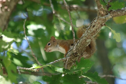
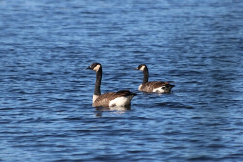
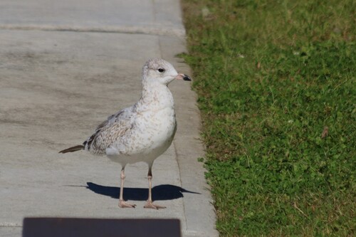
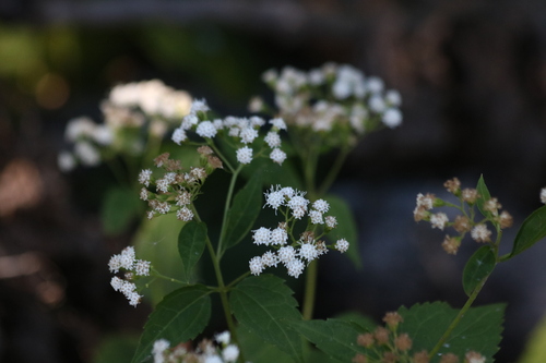
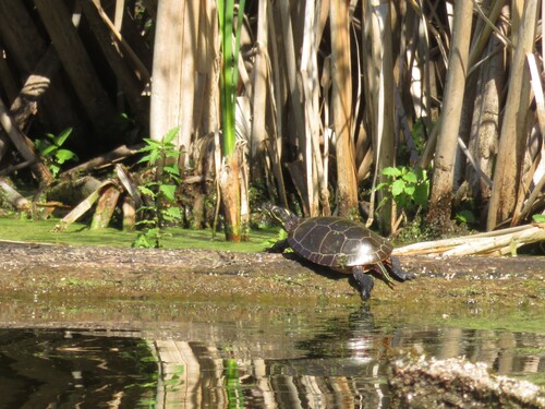
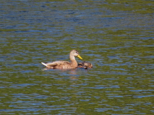
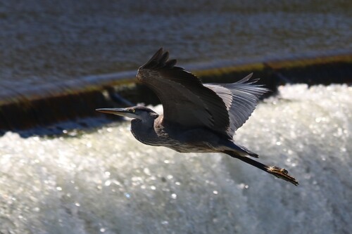
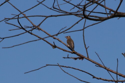
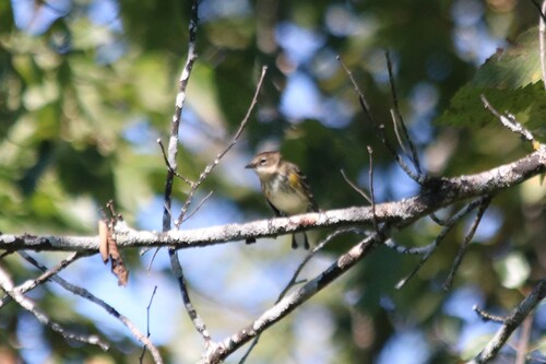
Research-grade observations from iNaturalist (within ~15 mi).
Events
Gallery
Sources
- • Wikipedia
- • USGS Earthquake Catalog (global feed)
- • GBIF (Global Biodiversity Information Facility)
- • iNaturalist
- • Open-Meteo / sunrise-sunset.org
- • Wikipedia Pageviews API