Browse / United States / California / Canyon Lake
Canyon Lake
Californiacity

Canyon Lake
Total population
11,119
Median home value
$699,600
Bachelor's+
Median income
$126,926
Founded
1990
Demographic figures from US Census Bureau · ACS 5-year estimates. Overview below cites Wikipedia and may reference a different year.
- Extreme Heat Warning · SevereExtreme Heat Warning issued October 1 at 1:12PM PDT until October 8 at 8:00PM PDT by NWS San Diego CA
Source: NOAA National Weather Service.
City facts
Facts from Wikidata (CC0).
Overview
Canyon Lake is a city and gated community in the Inland Empire region of Riverside County, California, United States, located on Canyon Lake reservoir. Canyon Lake began as a master-planned community developed by the Corona Land Company in 1968. The City of Canyon Lake was incorporated on December 1, 1990. As of the 2020 census, Canyon Lake had a population of 11,082. Railroad Canyon Dam was built in 1927, and impounds the San Jacinto River to fill the reservoir, which covers 383 acres (1.55 km2) and has 14.9 miles (24.0 km) of shoreline.
Read more on WikipediaHistory & geography
History
The city of Canyon Lake is named after the reservoir it is built around. Initially, the reservoir was known as Railroad Canyon Reservoir, or Railroad Canyon Lake, but now the reservoir and the community are referred to by the shortened form, Canyon Lake. In 1882, the California Southern Railroad built a line from Perris to Elsinore along the east side of the San Jacinto River. The Santa Fe Railroad bought the line and joined it with their line in San Bernardino. Floods in 1884, 1916, and 1927 washed out the tracks, and the Santa Fe Railroad decided to abandon the line. Soon after the last flood, the Temescal Water Company bought the railroad right-of-way, as well as from Henry Evans, a rancher, and another land from B.T. Kuert. Those were the two parcels that make up most of Canyon Lake today. Construction started in 1927 to build a dam across the river to store water. It was finished in 1929. Railroad Canyon Reservoir, when built, was one of the largest freshwater lakes for fishing, hunting, and camping in Southern California. The reservoir and the surrounding area were leased as a concession from Temescal Water Company as a recreational area under the operation of the George D. Evans family from 1937 until after World War II. After the war Ray and Alpha Schekel, along with John and Darleen Kirkland, operated the resort until 1949 when the lake was drained for repairs to the floodgates. In 1968 the Corona Land Development Company developed the new community. Canyon Lake began as a master-planned community developed by Corona Land Company in 1968, consisting of 4,801 lots.
Geography
The city of Canyon Lake is located east of Lake Elsinore and west of Menifee, in the southern foothills of the Temescal Mountains. The mountain range is on the western edge of the Perris Block and east of the Elsinore Fault Zone. According to the United States Census Bureau, the city has a total area of or , of which is land and (15.92%) is water. The lake has of shoreline. The community is named for Canyon Lake reservoir, also known as the Railroad Canyon Reservoir, which it surrounds. The reservoir, created in 1928 with the construction of the Railroad Canyon Dam, covers approximately , has of shoreline, and has a storage capacity of . The reservoir is supplied by stormwater runoff from the San Jacinto River and Salt Creek. Water from the reservoir feeds the Canyon Lake Water Treatment Plant, which provides approximately 10% of the domestic water supply in the Lake Elsinore/Canyon Lake area.
Excerpted from the corresponding Wikipedia article (CC BY-SA).
Demographics & economy
Race & ethnicity
Source: US Census Bureau — American Community Survey, 5-year estimates.
Geography
Coordinates & boundaries from the US Census TIGER/Line shapefiles.
Climate
Current forecast
Forecast for Canyon Lake, CA from NOAA NWS API.
Air quality
Industrial & pollution facilities
Natural hazard risk
Health (adults)
Age-adjusted prevalence estimates from CDC PLACES (latest release).
Walkability
Amenities nearby
Wildlife & biodiversity
Schools
Largest nearby schools
- Vista Murrieta HighHigh · Murrieta · 3,493 students · 24.6:1 ratio
- Paloma Valley HighHigh · Menifee · 2,761 students · 24.4:1 ratio
- Heritage HighHigh · Romoland · 2,428 students · 22.9:1 ratio
- Perris HighHigh · Perris · 2,243 students · 24.4:1 ratio
- Murrieta Valley HighHigh · Murrieta · 2,230 students · 23.5:1 ratio
- Murrieta Mesa HighHigh · Murrieta · 2,178 students · 22.9:1 ratio
- Temescal Canyon HighHigh · Lake Elsinore · 2,176 students · 25:1 ratio
- Elsinore HighHigh · Wildomar · 2,122 students · 25:1 ratio
Public K–12 schools within ~10 mi from Urban Institute Education Data Portal (NCES Common Core of Data, 2022).
Earthquake history
Photos
Sights & places nearby
Notable people from here


People born within ~10 km, from Wikidata (CC0). Click any name for their Wikipedia article.
Nearby places in California
- Nuevo10.5 mi away
- El Sobrante17.1 mi away
- East Hemet18.8 mi away
- Home Gardens19.4 mi away
- Coto de Caza19.6 mi away
- Modjeska21.1 mi away · pop. 714
- Fallbrook21.8 mi away · pop. 32,112
- Las Flores21.9 mi away · pop. 5,513
- Norco23.3 mi away · pop. 26,316
- Grand Terrace23.9 mi away
- Loma Linda24.5 mi away · pop. 25,122
- Pala25.1 mi away
Geography & sun
Elevation, sunrise/sunset and daylight from Open-Meteo. Solar climatology from NASA POWER.
Nearby airports
Public attention
Pageview totals from the Wikimedia Pageviews API.
Books about Canyon Lake


Search results from Open Library.
Recent natural events nearby
- Wildfire RIDGE, Los Angeles, CaliforniaWildfires · 2026-08-07 · 118 mi
- Wildfire BUZZARD, Kern, CaliforniaWildfires · 2026-08-05 · 126 mi
- Wildfire PLAINS, San Luis Obispo, CaliforniaWildfires · 2026-08-12 · 196 mi
- Prescribed Fire CRAWFORD CORRAL RX, Tulare, CaliforniaWildfires · 2026-09-19 · 223 mi
- Wildfire Campwood, Yavapai, ArizonaWildfires · 2026-08-23 · 247 mi
Wildfires, storms and other events from NASA EONET (last 12 months, within 250 mi).
Ground air-quality sensors
Recently spotted species
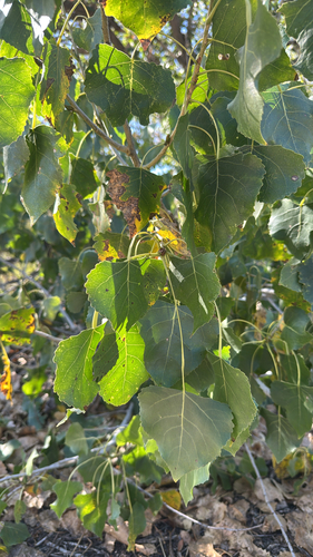
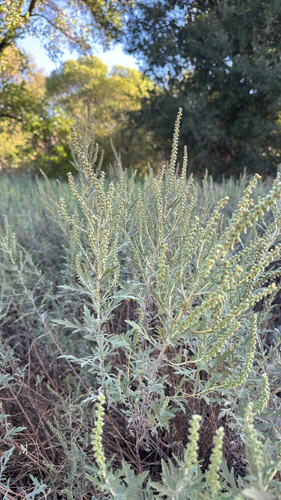
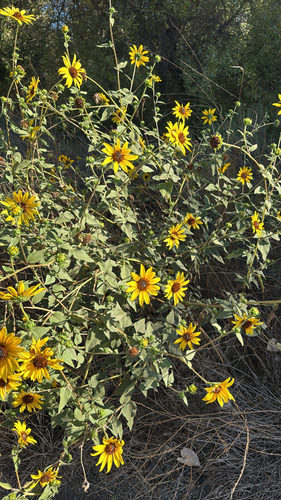
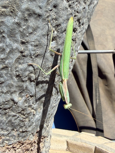
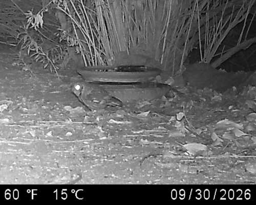
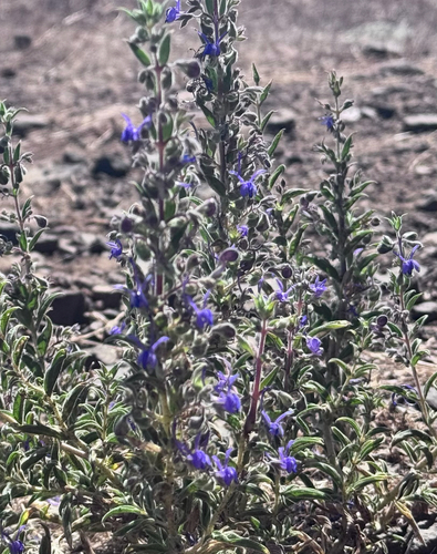
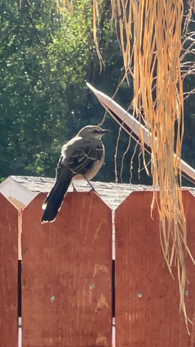
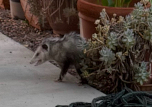
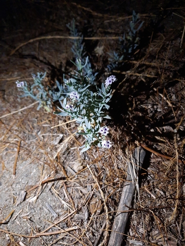
Research-grade observations from iNaturalist (within ~15 mi).
Nearest stream gauge
Events
Gallery
Sources
- • Wikipedia
- • US Census Bureau (ACS 5-year estimates)
- • NOAA National Weather Service
- • Wikidata
- • NCES via Urban Institute Education Data Portal
- • iNaturalist
- • CDC PLACES
- • Open-Meteo / sunrise-sunset.org
- • Wikipedia Pageviews API
- • Open Library
- • NASA EONET