Browse / United States / California / Daly City
Daly City
Californiacity

Daly City
Total population
101,424
Median home value
$1,111,300
Bachelor's+
Median income
$117,911
Demographic figures from US Census Bureau · ACS 5-year estimates. Overview below cites Wikipedia and may reference a different year.
- Coastal Flood Advisory · MinorCoastal Flood Advisory issued October 1 at 12:20PM PDT until October 2 at 6:00PM PDT by NWS San Francisco CA
- Heat Advisory · ModerateHeat Advisory issued October 1 at 9:43AM PDT until October 4 at 10:00PM PDT by NWS San Francisco CA
Source: NOAA National Weather Service.
City facts
Sister cities
Facts from Wikidata (CC0).
Overview
Daly City is the second-most populous city in San Mateo County, California, United States. Located in the San Francisco Bay Area, and immediately south of San Francisco, it is named for businessman and landowner John Donald Daly. Its population was 104,901 at the 2020 census. The racial makeup of Daly City was 57.3% Asian, 11.7% non-Hispanic White, and 23.1% Hispanic or Latino of any race in the 2020 census. Notably, 33.2% of Daly City is Filipino.
Read more on WikipediaHistory & geography
History
Archaeological evidence suggests the San Francisco Bay area has been inhabited as early as 2700 BC. People of the Ohlone language group probably occupied northern California from at least the year A.D. 500. Though their territory had been claimed by Spain since the early 16th century, they had relatively little contact with Europeans until 1769, when as part of an effort to colonize Alta California, an exploration party led by Don Gaspar de Portolá learned of the existence of San Francisco Bay. Seven years later, in 1776, an expedition led by Juan Bautista de Anza selected the site for the Presidio of San Francisco, which José Joaquín Moraga soon established. Later the same year, Franciscan missionary Francisco Palóu founded the Mission San Francisco de Asís (Mission Dolores). As part of the founding, the priests claimed the land south of the mission for 16 miles for raising crops and for fodder for cattle and sheep. In 1778, the priests and soldiers marked out a trail to connect San Francisco to the rest of California. Upon independence from Spain, prominent Mexican citizens were granted land parcels to establish large ranches, three of which covered areas now in Daly City and Colma. Rancho Laguna de la Merced was acres and covered the area around a lake of the same name. A decade later, several families left as increases in the fog density killed grain and potato crops. The few remaining families switched to dairy and cattle farming as a more profitable enterprise. The Daly City area served as a location where San Franciscans would cross over county lines to gamble and fight. As tensions built in approach to the American Civil War, California was divided between pro-slavery, and Free Soil advocates. Two of the main figures in the debate were US Senator David C.…
Geography
According to the United States Census Bureau, the city has a total area of , all land. Daly City is bordered by the cities of San Francisco, Brisbane, Pacifica, South San Francisco, and the town of Colma. The city borders several unincorporated areas of San Mateo County. It surrounds Broadmoor, and borders San Bruno Mountain State Park, the Olympic Club, Lake Merced, and unincorporated areas near Colma. Seismic faults in and near Daly City include the San Andreas Fault, Hillside Fault, and Serra Fault. Neighborhoods of Daly City include Westlake, St. Francis Heights, Serramonte, Top of the Hill, Hillside, Crocker, Southern Hills, and Bayshore. Westlake is notable for its distinct architecture and for being among the earliest examples of a planned, large-tract suburb. It was the inspiration for Malvina Reynolds' 1962 song "Little Boxes", and later a coffee-table book and documentary Little Boxes: The Architecture of a Classic Midcentury Suburb. Bayshore, the easternmost neighborhood of Daly City, was an incorporated city, Bayshore City, from 1932 to 1940; it was annexed to Daly City in 1963. Several Daly City neighborhoods, such as Crocker, Southern Hills, and Bayshore, share a street grid and similar characteristics with adjacent San Francisco neighborhoods, such as Crocker-Amazon and Visitacion Valley. Several neighborhoods associated with Daly City lie outside of its city limits. Broadmoor is an unincorporated area completely surrounded by Daly City. Colma is an incorporated town sandwiched between Daly City, South San Francisco, and San Bruno Mountain. These enclaves are in charge of their own police and fire services, but share some services with Daly City. Daly City's climate is similar to that of San Francisco's western areas such as the Richmond District and…
Excerpted from the corresponding Wikipedia article (CC BY-SA).
Demographics & economy
Race & ethnicity
Source: US Census Bureau — American Community Survey, 5-year estimates.
Geography
Coordinates & boundaries from the US Census TIGER/Line shapefiles.
Climate
Current forecast
Forecast for Daly City, CA from NOAA NWS API.
Air quality
Industrial & pollution facilities
Natural hazard risk
Health (adults)
Age-adjusted prevalence estimates from CDC PLACES (latest release).
Walkability
Amenities nearby
Wildlife & biodiversity
Most-observed species
- Anna's HummingbirdCalypte anna (R.Lesson, 1829) · Aves86,951
- American CrowCorvus brachyrhynchos C.L.Brehm, 1822 · Aves75,590
- White-crowned SparrowZonotrichia leucophrys (J.R.Forster, 1772) · Aves73,184
- House FinchHaemorhous mexicanus (P.L.Statius Müller, 1776) · Aves71,076
- Western GullLarus occidentalis Audubon, 1839 · Aves68,001
- Black PhoebeSayornis nigricans (Swainson, 1827) · Aves65,359
- Common RavenCorvus corax Linnaeus, 1758 · Aves62,720
- Song SparrowMelospiza melodia (A.Wilson, 1810) · Aves60,410
Citizen-science & research observations from the Global Biodiversity Information Facility (GBIF).
Schools
Largest nearby schools
- Burlingame HighHigh · Burlingame · 1,519 students · 21.1:1 ratio
- Westmoor HighHigh · Daly City · 1,302 students · 22.4:1 ratio
- South San Francisco HighHigh · South San Francisco · 1,280 students · 19.4:1 ratio
- El Camino HighHigh · South San Francisco · 1,173 students · 18.9:1 ratio
- Jefferson HighHigh · Daly City · 1,159 students · 21.1:1 ratio
- Mills HighHigh · Millbrae · 1,141 students · 21.5:1 ratio
- Capuchino HighHigh · San Bruno · 1,091 students · 17.9:1 ratio
- Burlingame IntermediateMiddle · Burlingame · 1,013 students · 21.1:1 ratio
Public K–12 schools within ~10 mi from Urban Institute Education Data Portal (NCES Common Core of Data, 2022).
Earthquake history
Most recent
- M 2.51 — 2026-09-295 km W of Yountville, CA
- M 2.6 — 2026-09-2726 km WSW of Westley, CA
- M 3.32 — 2026-09-2727 km WSW of Westley, CA
- M 2.51 — 2026-09-1910 km ENE of Milpitas, CA
- M 2.56 — 2026-09-1721 km E of Alum Rock, CA
- M 2.6 — 2026-09-163 km ESE of Santa Rosa, CA
Events from the USGS Earthquake Catalog (global) (FDSN Event Web Service).
Photos
Sights & places nearby
Notable people from here


People born within ~10 km, from Wikidata (CC0). Click any name for their Wikipedia article.
Nearby places in California
Geography & sun
Elevation, sunrise/sunset and daylight from Open-Meteo. Solar climatology from NASA POWER.
Nearby airports
Public attention
Pageview totals from the Wikimedia Pageviews API.
Books about Daly City
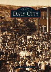
Search results from Open Library.
Recent natural events nearby
- Wildfire GANN, Calaveras, CaliforniaWildfires · 2026-08-03 · 97 mi
- Wildfire FELIZ, Mendocino, CaliforniaWildfires · 2026-08-01 · 98 mi
- Wildfire Timber, Monterey, CaliforniaWildfires · 2026-08-09 · 110 mi
- Wildfire LUCAS, Lake, CaliforniaWildfires · 2026-09-10 · 111 mi
- Wildfire LUCAS, Lake, CaliforniaWildfires · 2026-09-10 · 111 mi
- Wildfire Plaskett, Monterey, CaliforniaWildfires · 2026-08-26 · 136 mi
- Wildfire DOME, Mariposa, CaliforniaWildfires · 2026-09-15 · 156 mi
- Wildfire FLORISTON, Nevada, CaliforniaWildfires · 2026-09-16 · 177 mi
Wildfires, storms and other events from NASA EONET (last 12 months, within 250 mi).
Ground air-quality sensors
Recently spotted species
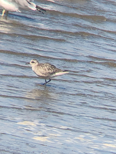
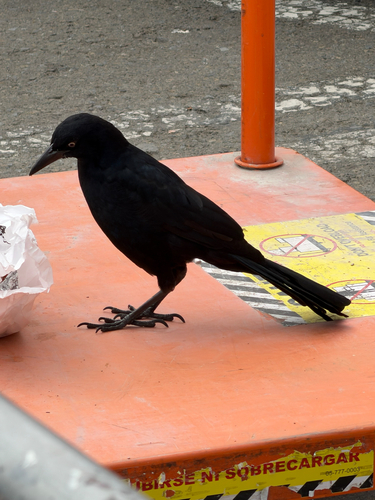
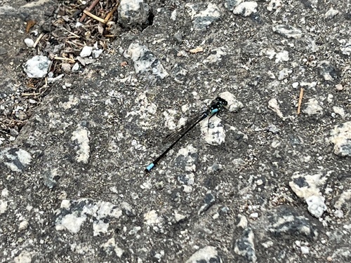
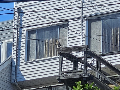
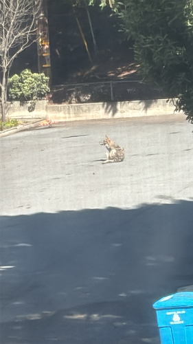
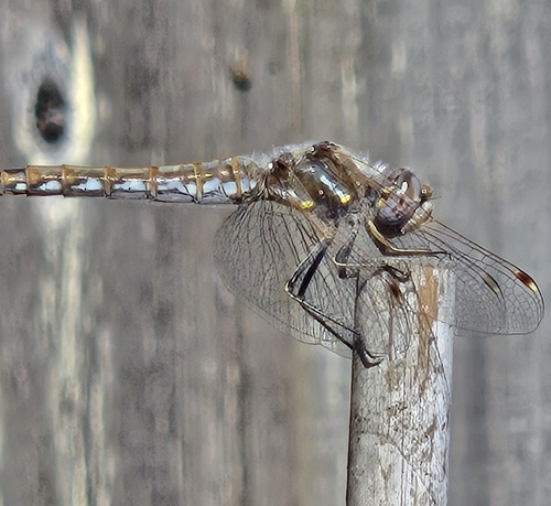
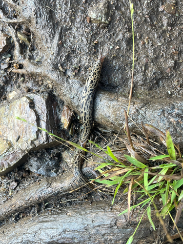
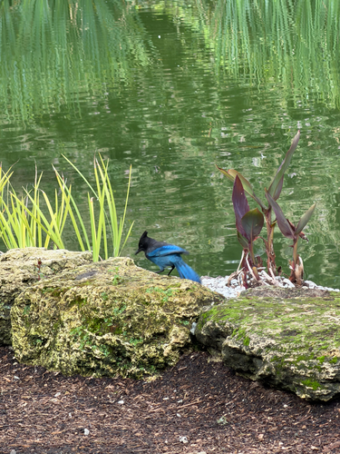
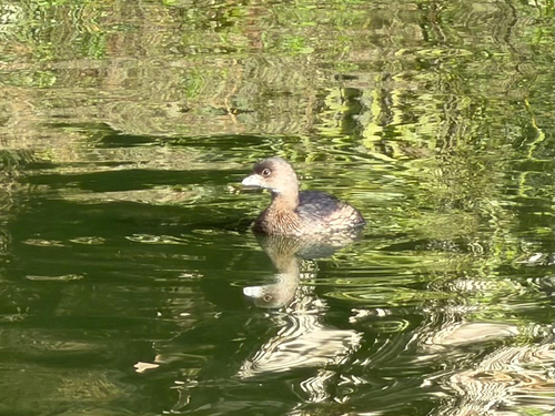
Research-grade observations from iNaturalist (within ~15 mi).
Nearest stream gauge
Live readings from USGS NWIS · measured 2026-09-16 23:45 UTC.
Events
Gallery
Sources
- • Wikipedia
- • US Census Bureau (ACS 5-year estimates)
- • NOAA National Weather Service
- • Wikidata
- • USGS Earthquake Catalog (global feed)
- • USGS NWIS (water data)
- • NCES via Urban Institute Education Data Portal
- • GBIF (Global Biodiversity Information Facility)
- • iNaturalist
- • CDC PLACES
- • Open-Meteo / sunrise-sunset.org
- • Wikipedia Pageviews API
- • Open Library
- • NASA EONET