Browse / United States / California / Davenport
Davenport
CaliforniaCDP

Davenport
Total population
403
Median home value
$946,400
Bachelor's+
Median income
$72,171
Demographic figures from US Census Bureau · ACS 5-year estimates. Overview below cites Wikipedia and may reference a different year.
City facts
Facts from Wikidata (CC0).
Overview
Davenport is a census-designated place (CDP) in Santa Cruz County, California, United States. It is also referred to as a hamlet or town. In the greater region north of the city of Santa Cruz, the areas of Davenport, Bonny Doon, and Swanton are comparable and proximal. Davenport sits at an average elevation of 177 feet. As of 2023, the town's population stands at 537.
Read more on WikipediaHistory & geography
History
A whaling captain named John Pope Davenport settled at , about half a mile from today's town, in 1867. Davenport built a 400-foot wharf at the mouth of Agua Puerca Creek ("agua puerca" translates to "muddy water"). This wharf was built to load the lumber brought down from the hills for shipment to Santa Cruz. A small village grew up around the port and was known as Davenport Landing. The local post office began operations in 1874, but was known only as Davenport. Agua Puerca Creek lived up to its name by bringing down so much mud that the port filled up and steamers could not tie up to the wharf to load lumber. A small extension did not solve the problem. Then a competitor built a longer wharf, but it was destroyed in a storm. Captain Davenport went bankrupt and moved to Santa Cruz. The post office in Davenport Landing closed in 1889. When Captain Davenport went bankrupt, his assets were auctioned off to pay creditors. Among the items auctioned off were whaling items leading to speculation that he carried out whaling activities from the port, especially after he started losing money. However, no eyewitness reports of whaling activities at Davenport Landing have been found. In 1905, an east coast businessman named William Dingee bought the Santa Cruz Lime Company, which had a lime quarry on the banks of San Vicente Creek, south of Davenport Landing. In the following year, the Santa Cruz Portland Cement Company manufacturing plant was built nearby. At that time, the closed Davenport Landing post office opened up in the settlement that grew up around the cement plant. It again only used the name of Davenport; hence, the name of the town. Another important piece of history of the town of Davenport lies behind the walls of the current Costa Azul Mexican restaurant. For…
Geography
Davenport lies at . According to the United States Census Bureau, the CDP covers an area of 2.8 square miles (7.4 km2). Davenport has topographic variance, with beaches at sea level and foothills reaching up to 1000 feet in elevation at its border. The headwaters of the San Vicente Creek start from these foothills, flowing down to the ocean. The town is located approximately 8.8 miles (14.23 km) south of the San Mateo County border, specifically from the Ano Nuevo State Marine Conservation Area. To the direct north is the unincorporated community of Swanton; the California Polytechnic University of San Luis Obispo manages a ranch in this community, known as the Swanton Pacific Ranch. Immediately east of the town are the Santa Cruz Mountains and the neighboring community of Bonny Doon. Big Basin State Park, an area heavily affected by fires, is located approximately 7 miles (11.5 km) northeast of the town. Davenport is situated amongst fault lines; the San Gregorio Fault lies westward, submerged in the Pacific Ocean, while the San Andreas Fault stretches east of the town. The town is part of the greater Monterey Bay-Tularcitos fault zone, a complex system of strike-slip faults.
Excerpted from the corresponding Wikipedia article (CC BY-SA).
Demographics & economy
Race & ethnicity
Source: US Census Bureau — American Community Survey, 5-year estimates.
Geography
Coordinates & boundaries from the US Census TIGER/Line shapefiles.
Climate
Air quality
Industrial & pollution facilities
Natural hazard risk
Health (adults)
Walkability
Amenities nearby
Wildlife & biodiversity
Most-observed species
- American CrowCorvus brachyrhynchos C.L.Brehm, 1822 · Aves37,646
- Anna's HummingbirdCalypte anna (R.Lesson, 1829) · Aves34,410
- Black PhoebeSayornis nigricans (Swainson, 1827) · Aves32,247
- Chestnut-backed ChickadeePoecile rufescens (J.K.Townsend, 1837) · Aves31,314
- House FinchHaemorhous mexicanus (P.L.Statius Müller, 1776) · Aves31,092
- Dark-eyed JuncoJunco hyemalis (Linnaeus, 1758) · Aves27,381
- Song SparrowMelospiza melodia (A.Wilson, 1810) · Aves25,776
- California TowheeMelozone crissalis (Vigors, 1839) · Aves25,665
Citizen-science & research observations from the Global Biodiversity Information Facility (GBIF).
Schools
Earthquake history
Photos
Sights & places nearby
Notable people from here
People born within ~10 km, from Wikidata (CC0). Click any name for their Wikipedia article.
Nearby places in California
Geography & sun
Elevation, sunrise/sunset and daylight from Open-Meteo. Solar climatology from NASA POWER.
Nearby airports
Public attention
Pageview totals from the Wikimedia Pageviews API.
Books about Davenport
Search results from Open Library.
Recent natural events nearby
- Wildfire Timber, Monterey, CaliforniaWildfires · 2026-08-09 · 61 mi
- Wildfire Plaskett, Monterey, CaliforniaWildfires · 2026-08-26 · 88 mi
- Wildfire GANN, Calaveras, CaliforniaWildfires · 2026-08-03 · 108 mi
- Wildfire DOME, Mariposa, CaliforniaWildfires · 2026-09-15 · 146 mi
- Wildfire FELIZ, Mendocino, CaliforniaWildfires · 2026-08-01 · 146 mi
- Wildfire LUCAS, Lake, CaliforniaWildfires · 2026-09-10 · 159 mi
- Wildfire LUCAS, Lake, CaliforniaWildfires · 2026-09-10 · 159 mi
- Wildfire PLAINS, San Luis Obispo, CaliforniaWildfires · 2026-08-12 · 165 mi
Wildfires, storms and other events from NASA EONET (last 12 months, within 250 mi).
Ground air-quality sensors
Recently spotted species
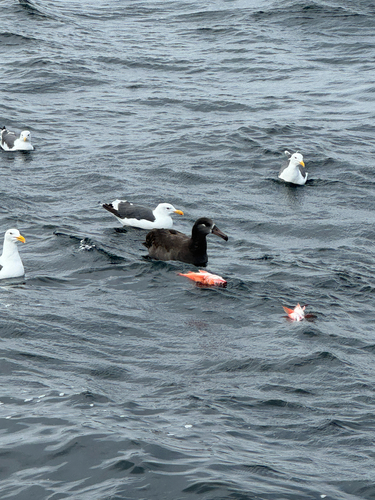
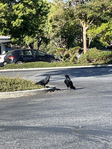
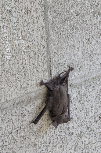
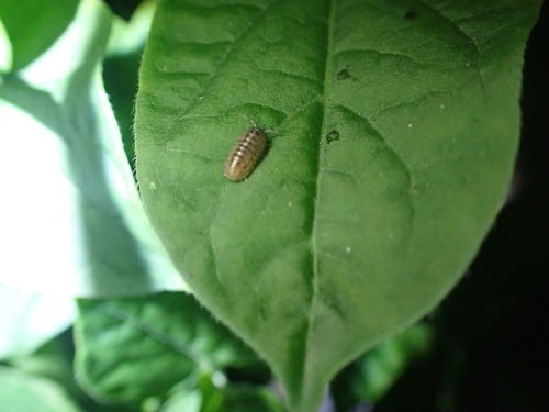
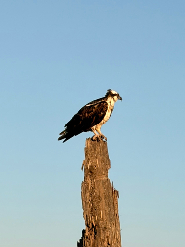
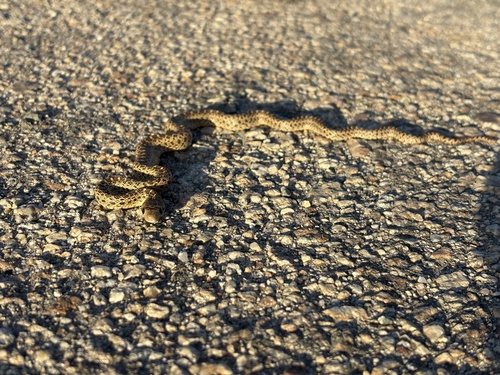
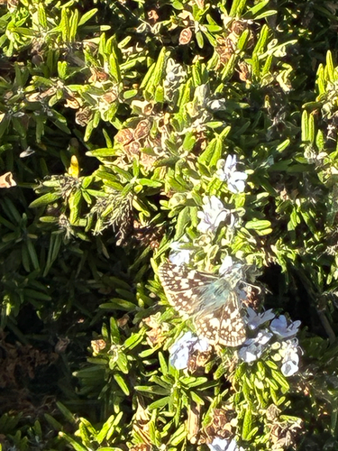
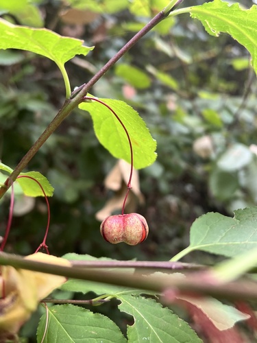
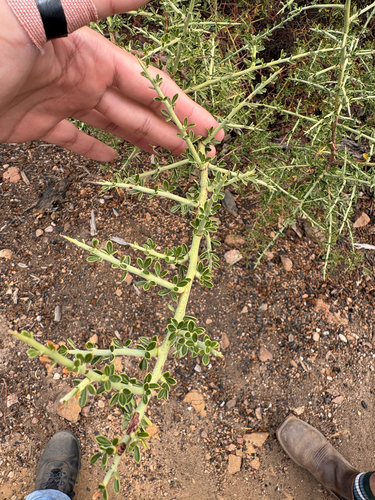
Research-grade observations from iNaturalist (within ~15 mi).
Nearest stream gauge
Live readings from USGS NWIS · measured 2026-09-18 14:45 UTC.
Events
Gallery
Sources
- • Wikipedia
- • US Census Bureau (ACS 5-year estimates)
- • Wikidata
- • USGS NWIS (water data)
- • GBIF (Global Biodiversity Information Facility)
- • iNaturalist
- • Open-Meteo / sunrise-sunset.org
- • Wikipedia Pageviews API
- • Open Library
- • NASA EONET