Browse / United States / California / Jurupa Valley
Jurupa Valley
Californiacity

Jurupa Valley
Total population
108,158
Median home value
$626,600
Bachelor's+
Median income
$94,942
Founded
2011
Demographic figures from US Census Bureau · ACS 5-year estimates. Overview below cites Wikipedia and may reference a different year.
- High Wind Warning · SevereHigh Wind Warning issued October 16 at 8:41PM PDT until October 17 at 8:00PM PDT by NWS San Diego CA
Source: NOAA National Weather Service.
City facts
Facts from Wikidata (CC0).
Overview
Jurupa Valley is a city in the Inland Empire region of northwestern Riverside County, California, United States. It was the location of one of the earliest non-native settlements in the county, Rancho Jurupa. The rancho was initially an outpost of the Mission San Gabriel Arcángel, then a Mexican land grant in 1838. Its name is derived from a Native American village that existed in the area prior to the arrival of Europeans.
Read more on WikipediaHistory & geography
History
The area was first inhabited by the Gabrielino and Serrano tribes. Although no geographic feature or town was officially named Jurupa Valley prior to the establishment of the city in 2011, the term is known to have been used as early as 1887 when referring to lands along the northeast side of the Santa Ana River opposite the city of Riverside. The name "Jurupa" was derived from the 1838 Mexican land grant Rancho Jurupa, which the Jurupa Valley area had been part of. The rancho, in turn, derived its name from a previous Jurupa rancho operated by the Mission San Gabriel Arcángel, until the mission was disbanded through the Mexican Secularization Act of 1833. Both Serrano and Gabrieleño peoples lived in the area. The Gabrieleño referred to the village as Jurungna or Hurungna. The exact meaning of the word "jurupa" is disputed. The 1890 book, An Illustrated History of Southern California, states that the word was a greeting, meaning ″peace and friendship″, used by the Native Americans when the first Catholic priest visited the area. In 1902, Father Juan Caballeria, in his History of San Bernardino Valley; From the Padres to the Pioneer, states that the word was derived from jurumpa, meaning watering place. Later linguistic studies concluded that the name likely refers to juru, Artemisia californica (California sagebrush), common in the area. On June 2, 1992, under measures E, F, and G, the first effort to form a city was voted down by the electorate. Measure E, whether or not to incorporate Jurupa and Mira Loma, lost 76% to 24%. Measure F, whether to vote city council members by district or at large, if incorporation passed, was 69% district, and 31% at large. Measure G, the selection of a city name, had the following results: Jurupa 40%, Rancho Jurupa 23%, West…
Geography
Jurupa Valley is located north and west of the Santa Ana River across from Riverside, California, south of the Riverside–San Bernardino county line, and east of Interstate 15. It includes the nine distinct neighborhoods, or communities, of Belltown, Crestmore Heights, Glen Avon, Indian Hills, Jurupa Hills, Pedley, Rubidoux, Sunnyslope, and Mira Loma.
Excerpted from the corresponding Wikipedia article (CC BY-SA).
Demographics & economy
Race & ethnicity
Source: US Census Bureau — American Community Survey, 5-year estimates.
Geography
Coordinates & boundaries from the US Census TIGER/Line shapefiles.
Climate
Current forecast
Forecast for Jurupa Valley, CA from NOAA NWS API.
Air quality
Industrial & pollution facilities
Natural hazard risk
Health (adults)
Age-adjusted prevalence estimates from CDC PLACES (latest release).
Walkability
Amenities nearby
Wildlife & biodiversity
Most-observed species
- House FinchHaemorhous mexicanus (P.L.Statius Müller, 1776) · Aves15,979
- Lesser GoldfinchSpinus psaltria (Say, 1822) · Aves12,137
- Black PhoebeSayornis nigricans (Swainson, 1827) · Aves11,819
- Mourning DoveZenaida macroura (Linnaeus, 1758) · Aves11,582
- Anna's HummingbirdCalypte anna (R.Lesson, 1829) · Aves11,493
- American CrowCorvus brachyrhynchos C.L.Brehm, 1822 · Aves10,840
- Northern MockingbirdMimus polyglottos (Linnaeus, 1758) · Aves10,406
- California TowheeMelozone crissalis (Vigors, 1839) · Aves9,334
Citizen-science & research observations from the Global Biodiversity Information Facility (GBIF).
Schools
Largest nearby schools
- Eleanor Roosevelt HighHigh · Eastvale · 4,566 students · 25.8:1 ratio
- Polytechnic HighHigh · Riverside · 2,660 students · 25.8:1 ratio
- Patriot HighHigh · Jurupa Valley · 2,532 students · 23.2:1 ratio
- Ramona HighHigh · Riverside · 2,220 students · 23.9:1 ratio
- John W. North HighHigh · Riverside · 2,173 students · 23.9:1 ratio
- Norco HighHigh · Norco · 2,070 students · 24.1:1 ratio
- Norte Vista HighHigh · Riverside · 1,971 students · 20.1:1 ratio
- Arlington HighHigh · Riverside · 1,957 students · 24.8:1 ratio
Public K–12 schools within ~10 mi from Urban Institute Education Data Portal (NCES Common Core of Data, 2022).
Earthquake history
Most recent
- M 2.77 — 2026-10-153 km NNW of San Jacinto, CA
- M 2.71 — 2026-10-114 km E of San Jacinto, CA
- M 3.16 — 2026-10-092 km SW of Signal Hill, CA
- M 2.7 — 2026-10-082 km WNW of Fontana, CA
- M 2.6 — 2026-10-064 km NNW of Big Bear City, CA
- M 2.51 — 2026-10-0531 km SW of Dana Point, CA
Events from the USGS Earthquake Catalog (global) (FDSN Event Web Service).
Photos
Sights & places nearby
Notable people from here


People born within ~10 km, from Wikidata (CC0). Click any name for their Wikipedia article.
Nearby places in California
- Bloomington5.5 mi away · pop. 25,698
- Norco7.2 mi away · pop. 26,316
- Home Gardens8.9 mi away
- El Sobrante9 mi away
- Grand Terrace9.1 mi away
- Muscoy12.6 mi away
- Loma Linda12.8 mi away · pop. 25,122
- Crestline20.2 mi away
- Mentone20.6 mi away · pop. 9,514
- Modjeska22.3 mi away · pop. 714
- Nuevo23.3 mi away
- North Tustin25 mi away
Geography & sun
Elevation, sunrise/sunset and daylight from Open-Meteo. Solar climatology from NASA POWER.
Nearby airports
Public attention
Pageview totals from the Wikimedia Pageviews API.
Books about Jurupa Valley

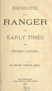
Search results from Open Library.
Recent natural events nearby
- Wildfire BOUQUET, Los Angeles, CaliforniaWildfires · 2026-10-03 · 66 mi
- Wildfire RIDGE, Los Angeles, CaliforniaWildfires · 2026-08-07 · 95 mi
- Wildfire BUZZARD, Kern, CaliforniaWildfires · 2026-08-05 · 104 mi
- Wildfire CYRUS, Kern, CaliforniaWildfires · 2026-10-09 · 129 mi
- Wildfire PLAINS, San Luis Obispo, CaliforniaWildfires · 2026-08-12 · 174 mi
- Prescribed Fire CRAWFORD CORRAL RX, Tulare, CaliforniaWildfires · 2026-09-19 · 199 mi
Wildfires, storms and other events from NASA EONET (last 12 months, within 250 mi).
Ground air-quality sensors
Recently spotted species
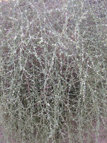
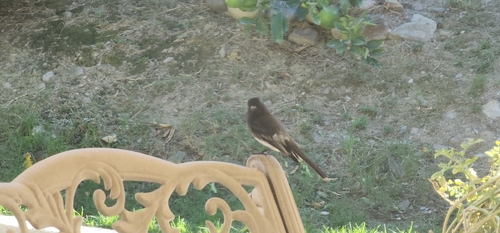
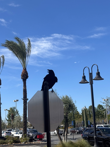
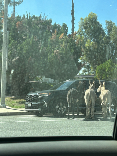
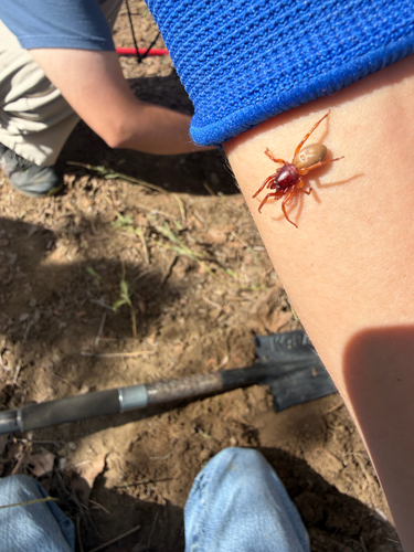
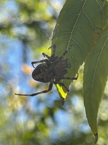
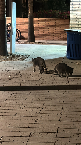
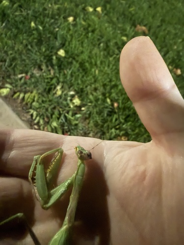
Research-grade observations from iNaturalist (within ~15 mi).
Nearest stream gauge
Live readings from USGS NWIS · measured 2026-10-16 20:00 UTC.
Events
Gallery
Sources
- • Wikipedia
- • US Census Bureau (ACS 5-year estimates)
- • NOAA National Weather Service
- • Wikidata
- • USGS Earthquake Catalog (global feed)
- • USGS NWIS (water data)
- • NCES via Urban Institute Education Data Portal
- • GBIF (Global Biodiversity Information Facility)
- • iNaturalist
- • CDC PLACES
- • Open-Meteo / sunrise-sunset.org
- • Wikipedia Pageviews API
- • Open Library
- • NASA EONET