Browse / Canada / Alberta / Manning
Manning
Albertatown

Manning
Total population
1,126
Demographic figures from Statistics Canada. Overview below cites Wikipedia and may reference a different year.
City facts
Overview
Manning is a town in northern Alberta, Canada. It is known as the "Land of the Mighty Moose". It is on Highway 35 on the Notikewin River, approximately 73 km (45 mi) north of Peace River.
Read more on WikipediaHistory & geography
History
The community of Manning sprung up as a result of growing agricultural development following the First World War as the Dominion government sought to provide land to returning soldiers to participate in the workforce. The Soldier Settlement Board provided incentives to veterans to begin farming unsettled tracts on the Battle River Prairie north of the Town of Peace River and west of the Peace River. By 1921 the district had a population of 500 and the community of Battle River Prairie (later Notikewin) grew as a regional hub. In the late-1920s the communities of Hotchkiss and North Star sprang up in the region. The northern communities suffered from limited medical resources, which were facilitated by mobile clinics staffed with registered nurses. In 1928 nurse Mary Little was assigned to the region, and in 1929 she was replaced by Dr. Mary Percy, who was recruited from England. Dr. Percy served the area until 1937, when the new hospital was completed. In 1947 the Mackenzie Highway was pushed through the region, and the community became a government construction and maintenance centre, and quickly eclipsed North Star and Notikewin in population.
Excerpted from the corresponding Wikipedia article (CC BY-SA).
Geography
Coordinates & boundaries from the US Census TIGER/Line shapefiles.
Climate
Air quality
Walkability
Amenities nearby
Wildlife & biodiversity
Most-observed species
- Red-tailed HawkButeo jamaicensis (Gmelin, 1788) · Aves10
- Common RavenCorvus corax Linnaeus, 1758 · Aves7
- Red-winged BlackbirdAgelaius phoeniceus (Linnaeus, 1766) · Aves7
- American RobinTurdus migratorius Linnaeus, 1766 · Aves6
- American CrowCorvus brachyrhynchos C.L.Brehm, 1822 · Aves5
- Song SparrowMelospiza melodia (A.Wilson, 1810) · Aves5
- White-throated SparrowZonotrichia albicollis (J.F.Gmelin, 1789) · Aves5
- Spotted SandpiperActitis macularius (Linnaeus, 1766) · Aves4
Citizen-science & research observations from the Global Biodiversity Information Facility (GBIF).
Earthquake history
Events from the USGS Earthquake Catalog (global) (FDSN Event Web Service).
Photos
Sights & places nearby
Notable people from here
People born within ~10 km, from Wikidata (CC0). Click any name for their Wikipedia article.
Nearby places in Alberta
- Lac Cardinal45.9 mi away
- St. Isidore53.4 mi away · pop. 236
- Hines Creek Hutterite Colony57.4 mi away
- Normandville73.7 mi away
- Birch Meadows Hutterite Colony76.3 mi away
- Cleardale Hutterite Colony77.4 mi away
- Eaglesham79.5 mi away
- Girouxville81.5 mi away
- Falher83.7 mi away
- Belloy84.1 mi away
- Codesa Hutterite Colony85.9 mi away
- Shady Lane Hutterite Colony86.5 mi away
Geography & sun
Elevation, sunrise/sunset and daylight from Open-Meteo. Solar climatology from NASA POWER.
Nearby airports
Public attention
Pageview totals from the Wikimedia Pageviews API.
Books about Manning


Search results from Open Library.
Recent natural events nearby
Ground air-quality sensors
Recently spotted species
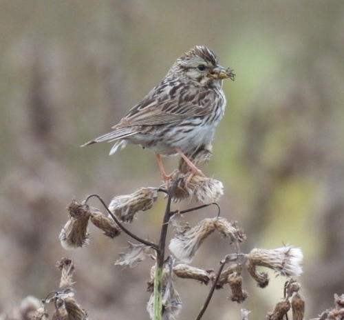
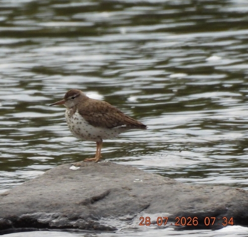
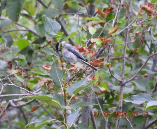
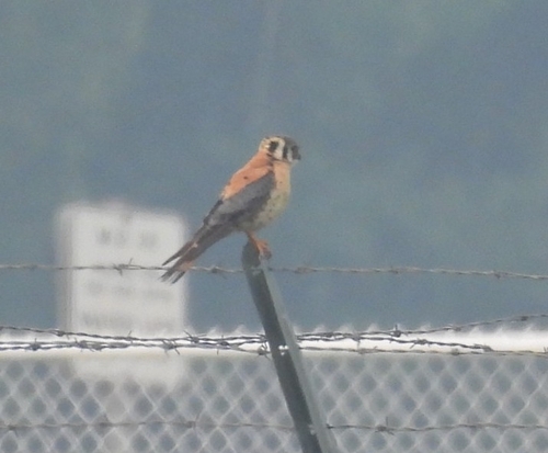
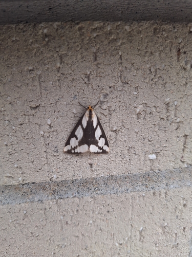
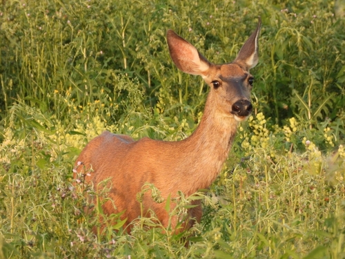
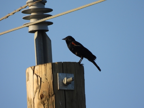
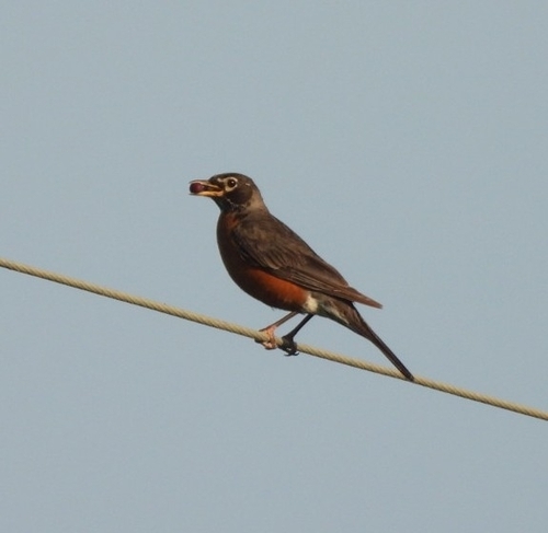
Research-grade observations from iNaturalist (within ~15 mi).
Events
Gallery
Official Identifiers
StatCan — Statistics Canada
- SGC code
- 4817078
- Population (Wikidata)
- 1,126
- Wikidata
- Q955573
Standard Geographical Classification (SGC) via Wikidata P3012
Sources
- • Wikipedia
- • Wikidata
- • USGS Earthquake Catalog (global feed)
- • GBIF (Global Biodiversity Information Facility)
- • iNaturalist
- • Open-Meteo / sunrise-sunset.org
- • Wikipedia Pageviews API
- • Open Library
- • StatCan — Statistics Canada — Standard Geographical Classification (SGC) via Wikidata P3012