Browse / United States / California / McKinleyville
McKinleyville
CaliforniaCDP

McKinleyville
Total population
17,113
Median home value
$457,600
Bachelor's+
Median income
$73,327
Air quality index
Demographic figures from US Census Bureau · ACS 5-year estimates. Overview below cites Wikipedia and may reference a different year.
City facts
Facts from Wikidata (CC0).
Overview
McKinleyville is a census-designated place (CDP) in Humboldt County, California, United States. McKinleyville is located 5.25 miles (8.4 km) north of Arcata, at an elevation of 141 feet (43 m). The population was 16,262 at the 2020 census, up from 15,177 at the 2010 census.
Read more on WikipediaHistory & geography
History
The Wiyot and Yurok people continue to live here in their traditional territories and both groups are ingrained within the McKinleyville community. McKinleyville is a community made up of a combination of smaller settlements. Joe Dows settled in the general area in the 1860s and that area was known as Dows Prairie. Slightly south was a small community called Minor (also known as Minorville). Minor was first settled in the late 19th century. Just south of Minor was Calville. Calville was settled by the employees of the California Barrel Company. After President William McKinley was assassinated in 1901, the community of Minor changed its name to McKinleyville in his honor. All three areas are collectively considered to be part of McKinleyville. The first post office at McKinleyville opened in 1903, closed in 1921, and was reopened in 1955. McKinleyville is a community with mainly retail and professional businesses to serve its residents but is not an incorporated city or town.
Geography
According to the United States Census Bureau, the CDP has a total area of , of which is land and , or 1.2%, is water. McKinleyville consists of several watershed areas. The north bank of the Mad River is the farthest watershed to the south. The next watershed to the north is Mill Creek, then Widow White Creek, Norton Creek, Strawberry Creek, Patrick Creek and finally the farthest watershed to the north is the south bank of the Little River. To the west lies the Pacific Ocean. The area sees summers that are not as foggy as Eureka and Arcata to the south, and run a few degrees warmer. McKinleyville has a cool-summer Mediterranean climate (Köppen Csb) typical of the North Coast that is characterized by mild, rainy winters and cool, mild summers, with an average temperature of 55°F (13 °C). The area experiences coastal influence fog all year round.
Excerpted from the corresponding Wikipedia article (CC BY-SA).
Demographics & economy
Race & ethnicity
Source: US Census Bureau — American Community Survey, 5-year estimates.
Geography
Coordinates & boundaries from the US Census TIGER/Line shapefiles.
Climate
Current forecast
Forecast for McKinleyville, CA from NOAA NWS API.
Air quality
Current readings from Open-Meteo Air Quality API (Copernicus CAMS European reanalysis).
Industrial & pollution facilities
Natural hazard risk
Health (adults)
Age-adjusted prevalence estimates from CDC PLACES (latest release).
Walkability
Amenities nearby
Wildlife & biodiversity
Most-observed species
- Common RavenCorvus corax Linnaeus, 1758 · Aves18,599
- Song SparrowMelospiza melodia (A.Wilson, 1810) · Aves18,430
- Black PhoebeSayornis nigricans (Swainson, 1827) · Aves15,019
- Turkey VultureCathartes aura (Linnaeus, 1758) · Aves14,681
- Great EgretArdea alba Linnaeus, 1758 · Aves11,524
- European StarlingSturnus vulgaris Linnaeus, 1758 · Aves11,106
- MallardAnas platyrhynchos Linnaeus, 1758 · Aves10,893
- House FinchHaemorhous mexicanus (P.L.Statius Müller, 1776) · Aves10,787
Citizen-science & research observations from the Global Biodiversity Information Facility (GBIF).
Schools
Earthquake history
Most recent
- M 2.52 — 2026-09-2240 km W of Petrolia, CA
- M 2.6 — 2026-09-2247 km WNW of Petrolia, CA
- M 2.5 — 2026-09-2121 km W of Petrolia, CA
- M 2.96 — 2026-09-2121 km WSW of Petrolia, CA
- M 2.61 — 2026-09-1817 km W of Petrolia, CA
- M 3.52 — 2026-09-1620 km WSW of Petrolia, CA
Events from the USGS Earthquake Catalog (global) (FDSN Event Web Service).
Photos
Sights & places nearby
Notable people from here


People born within ~10 km, from Wikidata (CC0). Click any name for their Wikipedia article.
Nearby places in California
- Arcata6.2 mi away · pop. 18,607
- Manila8.3 mi away
- Myrtletown11.6 mi away
- Fairhaven13 mi away · pop. 293
- Bayview13.9 mi away
- Humboldt Hill17 mi away
- Fields Landing17.4 mi away · pop. 532
- Hydesville27.2 mi away · pop. 1,263
- Hyampom39 mi away
- Mad River47.2 mi away
- Miranda51.8 mi away
- Bertsch-Oceanview55.5 mi away
Geography & sun
Elevation, sunrise/sunset and daylight from Open-Meteo. Solar climatology from NASA POWER.
Nearby airports
Public attention
Pageview totals from the Wikimedia Pageviews API.
Books about McKinleyville

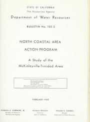
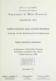

Search results from Open Library.
Recent natural events nearby
- Wildfire MP18, Humboldt, CaliforniaWildfires · 2026-08-07 · 24 mi
- Wildfire Fielder Mtn, Jackson, OregonWildfires · 2026-08-13 · 111 mi
- Wildfire LUCAS, Lake, CaliforniaWildfires · 2026-09-10 · 132 mi
- Wildfire LUCAS, Lake, CaliforniaWildfires · 2026-09-10 · 132 mi
- Wildfire FELIZ, Mendocino, CaliforniaWildfires · 2026-08-01 · 144 mi
- Wildfire Wrights Spring, Klamath, OregonWildfires · 2026-08-05 · 160 mi
- Wildfire Picture Rock, Lake, OregonWildfires · 2026-08-16 · 221 mi
- Wildfire Bug, Lassen, CaliforniaWildfires · 2026-08-08 · 229 mi
Wildfires, storms and other events from NASA EONET (last 12 months, within 250 mi).
Ground air-quality sensors
Recently spotted species
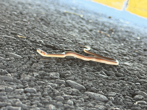
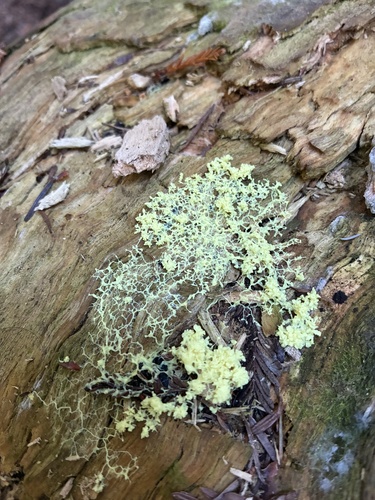
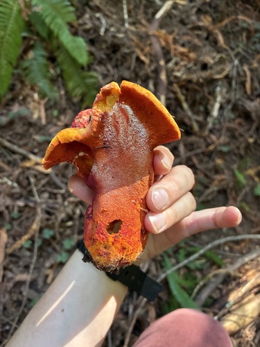
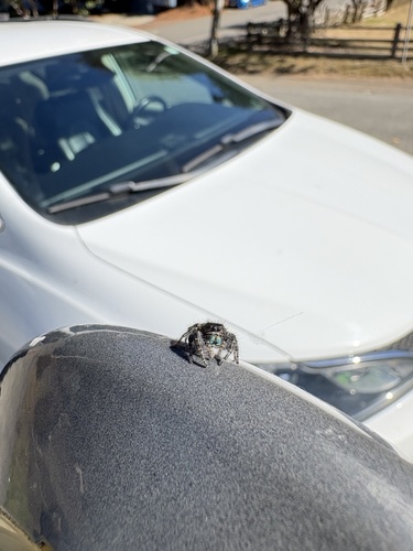
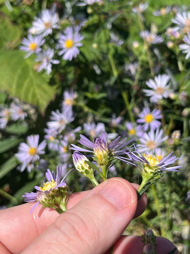
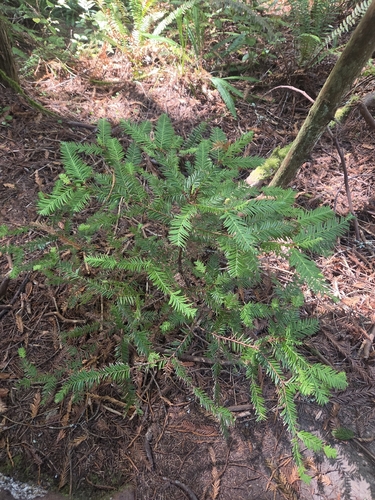
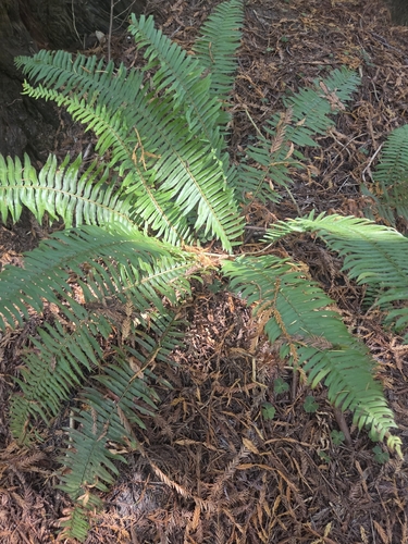
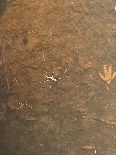
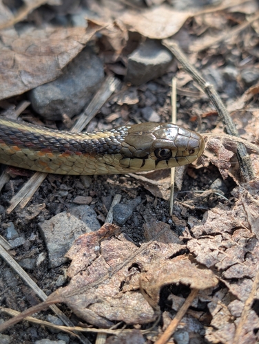
Research-grade observations from iNaturalist (within ~15 mi).
Nearest stream gauge
Live readings from USGS NWIS · measured 2026-09-25 17:45 UTC.
Events
Gallery
Sources
- • Wikipedia
- • US Census Bureau (ACS 5-year estimates)
- • NOAA National Weather Service
- • Wikidata
- • Open-Meteo Air Quality (CAMS)
- • USGS Earthquake Catalog (global feed)
- • USGS NWIS (water data)
- • GBIF (Global Biodiversity Information Facility)
- • iNaturalist
- • CDC PLACES
- • Open-Meteo / sunrise-sunset.org
- • Wikipedia Pageviews API
- • Open Library
- • NASA EONET