Browse / United States / California / Redondo Beach
Redondo Beach
Californiacity

Redondo Beach
Total population
68,087
Median home value
$1,302,800
Bachelor's+
Median income
$152,387
Air quality index
Demographic figures from US Census Bureau · ACS 5-year estimates. Overview below cites Wikipedia and may reference a different year.
- Heat Advisory · ModerateHeat Advisory issued October 16 at 7:50PM PDT until October 17 at 8:00PM PDT by NWS Los Angeles/Oxnard CA
Source: NOAA National Weather Service.
City facts
Facts from Wikidata (CC0).
Overview
Redondo Beach is a coastal city in Los Angeles County, California, United States, located in the South Bay region of the Greater Los Angeles area. It is one of three adjacent beach cities along the southern portion of Santa Monica Bay. The population was 71,576 at the 2020 census, up from 66,748 in 2010.
Read more on WikipediaHistory & geography
History
The South Bay area was originally inhabited by the Tongva tribe of Native Americans. Archeological work in the nearby Chowigna excavation show evidence of inhabitants as far back as 7,100 years ago. The Chowigna band of Tongva used the site of today's Hopkins Wilderness Park in Redondo Beach (formerly Nike missile site LA-57 from 1956 to 1963) as a lookout place. The wetlands located at the site of the retired AES power plant in Redondo Beach were a source of foods including halibut, lobster, and sea bass, and also of salt. The Tongva village of Ongovanga or Onoova-nga, meaning "Place of Salt," was located near a salt lake the old Redondo Salt Lake, "a spring-fed salt lake about wide and long situated about 200 yards from the ocean". Up through the 1700s, the Chowigna bartered salt from the lake with other tribes. The Chowigna were relocated to missions in 1854, when Manuel Dominguez sold of Rancho San Pedro, including the lake, to Henry Allanson and William Johnson for the Pacific Salt Works. In 1983, the city of Redondo Beach adopted a resolution "recognizing the Goodyear Airship Columbia (aka Goodyear blimp) as the "Official Bird of Redondo Beach." In 2022, the Redondo Beach government (along with the governments of Torrance, Carson, and Whittier) sued the California state government, seeking to block the California HOME Act (SB 9), which permits the construction of duplexes and fourplexes on lots. Former Redondo Beach mayor Bill Brand argued that there is no housing crisis in Redondo Beach. Bill Brand became mayor of Redondo Beach after spearheading the effort to block a 525,000 square foot mall project in King Harbor. Brand had also successfully negotiated a reduction in the number of apartment units in a mixed use development along PCH. The city has…
Geography
According to the United States Census Bureau, the city has a total area of , over 99% of it land. Redondo Beach was originally part of the 1784 Rancho San Pedro Spanish land grant of the Dominguez Rancho that later became the ten-mile (16 km) ocean frontage of Rancho Sausal Redondo. Redondo Beach has a warm-summer Mediterranean climate (Köppen climate classification: Csb) with mild winters and warm, almost rainless summers. The coldest months are December through March, and the warmest months are July through September. Redondo Beach has mild temperatures year round due to its coastal location.
Excerpted from the corresponding Wikipedia article (CC BY-SA).
Demographics & economy
Race & ethnicity
Source: US Census Bureau — American Community Survey, 5-year estimates.
Geography
Coordinates & boundaries from the US Census TIGER/Line shapefiles.
Climate
Current forecast
Forecast for Redondo Beach, CA from NOAA NWS API.
Air quality
Current readings from Open-Meteo Air Quality API (Copernicus CAMS European reanalysis).
Industrial & pollution facilities
Natural hazard risk
Health (adults)
Age-adjusted prevalence estimates from CDC PLACES (latest release).
Walkability
Amenities nearby
Wildlife & biodiversity
Most-observed species
- Bladder kelpMacrocystis pyrifera (L.) C.Agardh · Phaeophyceae174,944
- House FinchHaemorhous mexicanus (P.L.Statius Müller, 1776) · Aves31,904
- American CrowCorvus brachyrhynchos C.L.Brehm, 1822 · Aves31,469
- Western GullLarus occidentalis Audubon, 1839 · Aves30,291
- Black PhoebeSayornis nigricans (Swainson, 1827) · Aves29,979
- wavy turbanMegastraea undosa (W.Wood, 1828) · Gastropoda27,593
- Pacific Purple Sea UrchinStrongylocentrotus purpuratus (Stimpson, 1857) · Echinoidea26,585
- sun anemoneAnthopleura sola Pearse & Francis, 2000 · Anthozoa25,904
Citizen-science & research observations from the Global Biodiversity Information Facility (GBIF).
Schools
Largest nearby schools
- Redondo Union HighHigh · Redondo Beach · 3,005 students · 26.8:1 ratio
- Mira Costa HighHigh · Manhattan Beach · 2,497 students · 23.3:1 ratio
- Phineas Banning Senior HighHigh · Wilmington · 2,486 students · 19.9:1 ratio
- Palos Verdes Peninsula HighHigh · Rolling Hills Estates · 2,290 students · 24.1:1 ratio
- Torrance HighHigh · Torrance · 1,999 students · 23.5:1 ratio
- Lawndale HighHigh · Lawndale · 1,921 students · 17.6:1 ratio
- Leuzinger HighHigh · Lawndale · 1,896 students · 19:1 ratio
- South HighHigh · Torrance · 1,841 students · 21.7:1 ratio
Public K–12 schools within ~10 mi from Urban Institute Education Data Portal (NCES Common Core of Data, 2022).
Earthquake history
Most recent
- M 3.81008714964485 — 2026-09-304 km SE of Piru, CA
- M 3.55404092525043 — 2026-09-277 km WSW of Hermosa Beach, CA
- M 2.53 — 2026-09-1811 km N of Fillmore, CA
- M 2.94 — 2026-09-174 km SSE of Compton, CA
- M 2.56 — 2026-09-1327 km SSE of Malibu, CA
- M 2.65 — 2026-09-124 km E of Lennox, CA
Events from the USGS Earthquake Catalog (global) (FDSN Event Web Service).
Photos
Sights & places nearby
Notable people from here


People born within ~10 km, from Wikidata (CC0). Click any name for their Wikipedia article.
Nearby places in California
- Hermosa Beach1.4 mi away
- El Segundo4.4 mi away
- Alondra Park4.7 mi away
- Del Aire5 mi away
- Palos Verdes Estates5.4 mi away · pop. 12,925
- Marina del Rey9.2 mi away
- Florence-Graham12.1 mi away · pop. 60,690
- Commerce17.5 mi away · pop. 11,993
- East Los Angeles18.3 mi away
- Artesia18.4 mi away
- Hawaiian Gardens18.8 mi away · pop. 13,691
- Cerritos19 mi away · pop. 47,867
Geography & sun
Nearby airports
Public attention
Books about this place
Recent natural events nearby
- Wildfire BOUQUET, Los Angeles, CaliforniaWildfires · 2026-10-03 · 49 mi
- Wildfire RIDGE, Los Angeles, CaliforniaWildfires · 2026-08-07 · 70 mi
- Wildfire BUZZARD, Kern, CaliforniaWildfires · 2026-08-05 · 78 mi
- Wildfire CYRUS, Kern, CaliforniaWildfires · 2026-10-09 · 128 mi
- Wildfire PLAINS, San Luis Obispo, CaliforniaWildfires · 2026-08-12 · 141 mi
- Prescribed Fire CRAWFORD CORRAL RX, Tulare, CaliforniaWildfires · 2026-09-19 · 193 mi
- Wildfire Plaskett, Monterey, CaliforniaWildfires · 2026-08-26 · 222 mi
- Wildfire Timber, Monterey, CaliforniaWildfires · 2026-08-09 · 249 mi
Wildfires, storms and other events from NASA EONET (last 12 months, within 250 mi).
Ground air-quality sensors
Recently spotted species
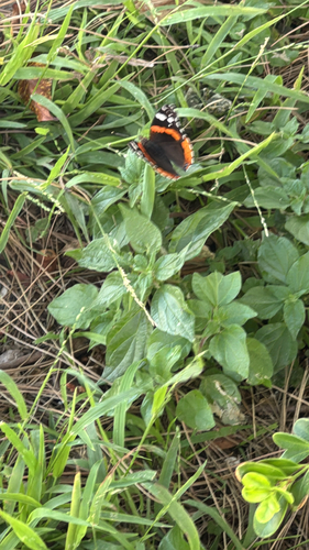
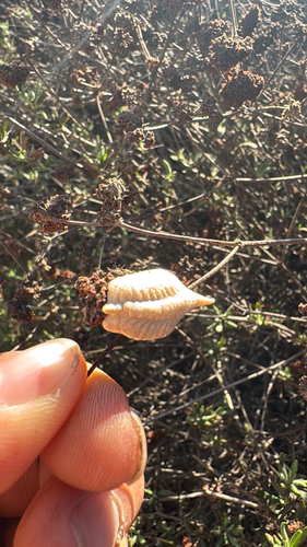
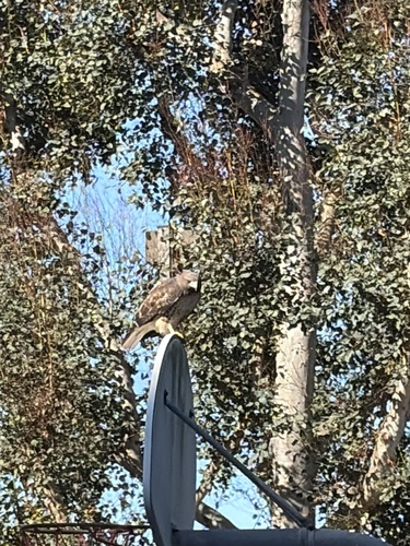
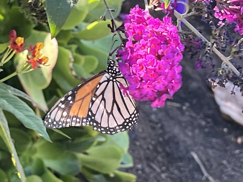
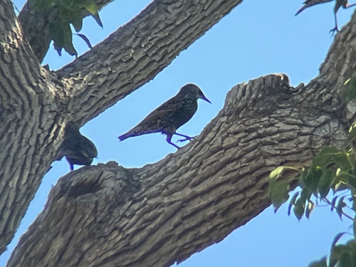
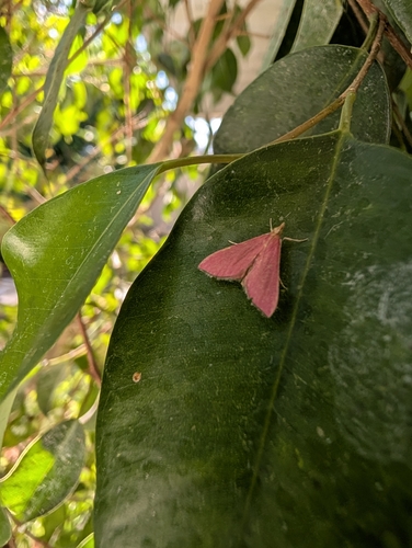
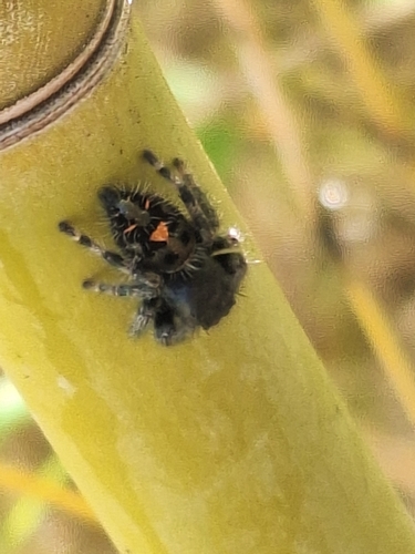
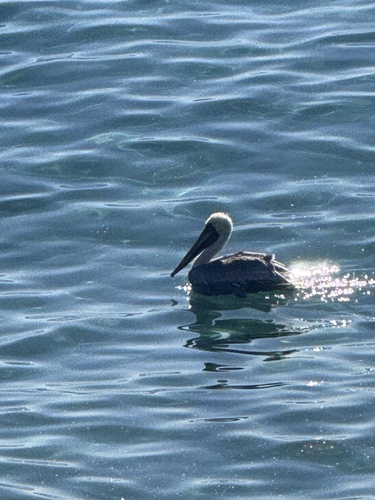
Research-grade observations from iNaturalist (within ~15 mi).
Nearest stream gauge
Live readings from USGS NWIS · measured 2026-10-16 20:30 UTC.
Events
Gallery
Sources
- • Wikipedia
- • US Census Bureau (ACS 5-year estimates)
- • NOAA National Weather Service
- • Wikidata
- • Open-Meteo Air Quality (CAMS)
- • USGS Earthquake Catalog (global feed)
- • USGS NWIS (water data)
- • NCES via Urban Institute Education Data Portal
- • GBIF (Global Biodiversity Information Facility)
- • iNaturalist
- • CDC PLACES
- • NASA EONET