Browse / United States / California / Sacramento
Sacramento
Californiacity

Sacramento
Total population
535,787
Median home value
$515,800
Bachelor's+
Median income
$91,387
Founded
1849
Air quality index
Demographic figures from US Census Bureau · ACS 5-year estimates. Overview below cites Wikipedia and may reference a different year.
- Heat Advisory · ModerateHeat Advisory issued October 3 at 2:14PM PDT until October 7 at 10:00PM PDT by NWS Sacramento CA
Source: NOAA National Weather Service.
City facts
Facts from Wikidata (CC0).
Overview
Sacramento is the capital city of the U.S. state of California. The county seat of Sacramento County, it is located at the confluence of the Sacramento and American Rivers in the Sacramento Valley. It is the fourth-most populous city in Northern California, sixth-most populous city in the state, and 35th-most populous city in the United States, with a population of 524,943 at the 2020 census. The Sacramento metropolitan area, with 2.46 million residents, is the 27th-largest metropolitan area in the country.
Read more on WikipediaHistory & geography
History
Nisenan (Southern Maidu), Modoc, and Plains Miwok American Indians have lived in the area for perhaps thousands of years. Until Spanish settlers arrived in Sacramento, these tribes left little evidence of their existence. Acorns harvested from the plentiful oak trees in the region made up the bulk of their diets, in addition to fruits, bulbs, seeds, and roots gathered throughout the year. Animal protein included salmon, other fish, deer, and elk. In 1808, the Spanish explorer Gabriel Moraga encountered and named the Sacramento Valley and the Sacramento River. A Spanish writer with the Moraga expedition wrote: Canopies of oaks and cottonwoods, many festooned with grapevines, overhung both sides of the blue current. Birds chattered in the trees and big fish darted through the pellucid depths. The air was like champagne, and (the Spaniards) drank deep of it, drank in the beauty around them. "¡Es como el sagrado sacramento! (It's like the Blessed Sacrament.)" The valley and the river were then christened after the "Most Holy Sacrament of the Body and Blood of Christ", referring to the Catholic sacrament of the Eucharist. John Sutter Sr. first arrived in the area on August 13, 1839, at the confluence of the American and Sacramento Rivers with a Mexican land grant of . The next year, he and his party established Sutter's Fort, a massive adobe structure with walls high and thick. Representing Mexico, Sutter Sr. called his colony New Helvetia, a Swiss-inspired name, and was the political authority and dispenser of justice in the new settlement. Soon, the colony began to grow as more and more pioneers headed west. Within just a few short years, Sutter Sr. had become a grand success, owning a orchard and a herd of 13,000 cattle. Fort Sutter became a regular stop for the…
Geography
According to the United States Census Bureau, the city covers . 98.61% of it is land, and 1.39% of it is water. Depth to groundwater is typically about . Much of the land to the west of the city (in Yolo County) is permanently reserved for a vast flood control basin (the Yolo Bypass), due to the city's historical vulnerability to floods. As a result, the contiguous urban area sprawls only west of downtown (as West Sacramento, California) but northeast and east, into the Sierra Nevada foothills, and to the south into valley farmland. The city is at the confluence of the Sacramento River and the American River and has a deep-water port connected to the San Francisco Bay by a channel through the Sacramento–San Joaquin River Delta. It is the shipping and rail center for the Sacramento Valley. Sacramento has long been known as the "City of Trees" owing to its abundant urban forest. The city has more trees per capita than any other city in the world. The first recorded use of the term was in 1855, and it was popular by the early 20th century. It was not always so: it was at first called the "City of Plains" because of the lack of trees, but soon afterward there were cottonwood trees planted, and eucalyptus varieties were imported to dry out swampland. Later, locust trees, and willows were planted along streets, then elms, then palm trees, then fruit trees in the late 1910s. In the early 21st century, the tree cover is well above that of the average tree cover of other major cities in the United States and the rest of the world, with the main species being the London plane. Other species are being introduced to increase diversity and to help cope with the effects of climate change on vegetation in the future. Treepedia, a project run by MIT using Google Maps'…
Excerpted from the corresponding Wikipedia article (CC BY-SA).
Demographics & economy
Race & ethnicity
Source: US Census Bureau — American Community Survey, 5-year estimates.
Geography
Coordinates & boundaries from the US Census TIGER/Line shapefiles.
Climate
Current forecast
Forecast for Sacramento, CA from NOAA NWS API.
Air quality
Current readings from Open-Meteo Air Quality API (Copernicus CAMS European reanalysis).
Industrial & pollution facilities
Natural hazard risk
Health (adults)
Age-adjusted prevalence estimates from CDC PLACES (latest release).
Walkability
Amenities nearby
Wildlife & biodiversity
Most-observed species
- Mourning DoveZenaida macroura (Linnaeus, 1758) · Aves40,698
- California/Woodhouse's Scrub-JayAphelocoma californica (Vigors, 1839) · Aves39,122
- House FinchHaemorhous mexicanus (P.L.Statius Müller, 1776) · Aves38,531
- Black PhoebeSayornis nigricans (Swainson, 1827) · Aves38,361
- Anna's HummingbirdCalypte anna (R.Lesson, 1829) · Aves32,907
- American CrowCorvus brachyrhynchos C.L.Brehm, 1822 · Aves29,275
- MallardAnas platyrhynchos Linnaeus, 1758 · Aves27,899
- Canada Goose (canadensis Group)Branta canadensis (Linnaeus, 1758) · Aves26,747
Citizen-science & research observations from the Global Biodiversity Information Facility (GBIF).
Schools
Largest nearby schools
- Highlands Community CharterOther · Sacramento · 6,749 students · 71:1 ratio
- Visions In EducationOther · Carmichael · 6,591 students · 25.9:1 ratio
- C. K. McClatchy HighHigh · Sacramento · 2,427 students · 27.3:1 ratio
- Monterey Trail HighHigh · Elk Grove · 2,353 students · 22:1 ratio
- Inderkum HighHigh · Sacramento · 2,266 students · 24.9:1 ratio
- Laguna Creek HighHigh · Elk Grove · 2,231 students · 21.9:1 ratio
- California Innovative Career AcademyOther · Sacramento · 2,202 students · 41.5:1 ratio
- Grant Union HighHigh · Sacramento · 2,040 students · 21.5:1 ratio
Public K–12 schools within ~10 mi from Urban Institute Education Data Portal (NCES Common Core of Data, 2022).
Earthquake history
Photos
Sights & places nearby
Notable people from here


People born within ~10 km, from Wikidata (CC0). Click any name for their Wikipedia article.
Nearby places in California
- Fruitridge Pocket2.5 mi away
- Arden-Arcade5.1 mi away
- El Macero11.8 mi away
- Citrus Heights13.1 mi away · pop. 86,995
- Franklin13.8 mi away · pop. 233
- Orangevale15.7 mi away
- Knights Landing20.8 mi away
- Granite Bay21 mi away
- Rancho Murieta21.8 mi away · pop. 5,875
- Nicolaus23.5 mi away
- El Dorado Hills23.9 mi away
- Penryn25.2 mi away
Geography & sun
Elevation, sunrise/sunset and daylight from Open-Meteo. Solar climatology from NASA POWER.
Nearby airports
Public attention
Pageview totals from the Wikimedia Pageviews API.
Books about Sacramento
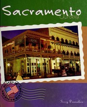
Search results from Open Library.
Recent natural events nearby
- Wildfire GANN, Calaveras, CaliforniaWildfires · 2026-08-03 · 49 mi
- Wildfire LUCAS, Lake, CaliforniaWildfires · 2026-09-10 · 94 mi
- Wildfire LUCAS, Lake, CaliforniaWildfires · 2026-09-10 · 94 mi
- Wildfire FLORISTON, Nevada, CaliforniaWildfires · 2026-09-16 · 96 mi
- Wildfire FELIZ, Mendocino, CaliforniaWildfires · 2026-08-01 · 96 mi
- Wildfire Hawk, Washoe, NevadaWildfires · 2026-08-22 · 106 mi
- Wildfire Hawk, Washoe, NevadaWildfires · 2026-08-22 · 106 mi
- Wildfire Bug, Lassen, CaliforniaWildfires · 2026-08-08 · 111 mi
Wildfires, storms and other events from NASA EONET (last 12 months, within 250 mi).
Ground air-quality sensors
Recently spotted species
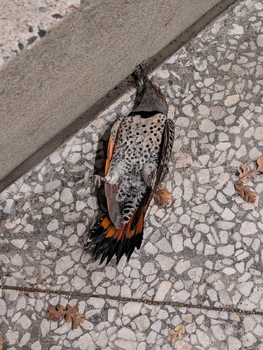
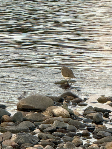
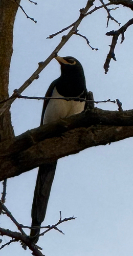
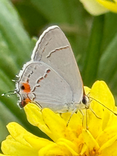
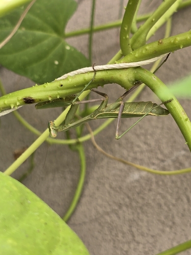
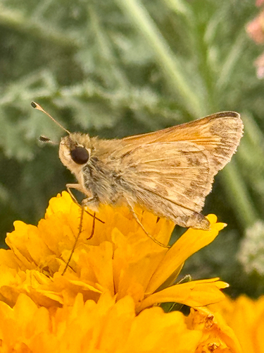
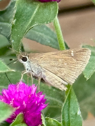
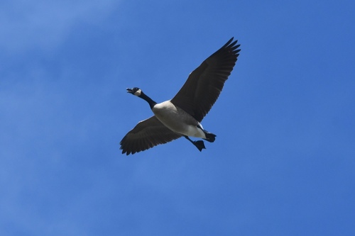
Research-grade observations from iNaturalist (within ~15 mi).
Nearest stream gauge
Live readings from USGS NWIS · measured 2026-10-05 07:45 UTC.
Events
Notable, recurring, and historical events associated with Sacramento, sourced from Wikidata.
- Jul 4, 2013
- Jul 3, 1985
- Jul 2, 1981
Source: Wikidata (CC0).
Gallery
Geotagged photos within ~6 miles of Sacramento, from Wikimedia Commons contributors.
 0.1 mi
 0.2 mi
 0.2 mi
 0.2 mi
 0.2 mi
 0.2 mi
 0.2 mi
 0.3 mi
 0.3 mi
 0.3 mi
 0.3 mi
.jpeg) 0.3 mi
0.3 mi.jpg) 0.3 mi
0.3 mi.jpg) 0.3 mi
0.3 mi.JPG) 0.4 mi
0.4 mi.JPG) 0.4 mi
0.4 mi.JPG) 0.4 mi
0.4 mi 0.4 mi
 0.4 mi
.jpg) 0.4 mi
0.4 mi 0.4 mi
 0.5 mi
.jpg) 0.5 mi
0.5 mi_(cropped).jpg) 0.5 mi
0.5 miPhotos via Wikimedia Commons — see each image page for license & attribution.
Sources
- • Wikipedia
- • US Census Bureau (ACS 5-year estimates)
- • NOAA National Weather Service
- • Wikimedia Commons
- • Wikidata
- • Open-Meteo Air Quality (CAMS)
- • USGS NWIS (water data)
- • NCES via Urban Institute Education Data Portal
- • GBIF (Global Biodiversity Information Facility)
- • iNaturalist
- • CDC PLACES
- • Open-Elevation
- • Open-Meteo / sunrise-sunset.org
- • Wikipedia Pageviews API
- • Open Library
- • NASA EONET