Browse / Canada / Ontario / Shoal Lake
Shoal Lake
Ontariotown
Demographic figures from Statistics Canada. Overview below cites Wikipedia and may reference a different year.
City facts
Overview
Shoal Lake is a town that lies in Ontario, Canada. No reliable population estimate is published for this entry in the open data we rely on. Coordinates of 49.614°, -95.112° situate Shoal Lake in the temperate zone of the northern hemisphere. Open solar datasets indicate about 1,266 kWh/m² of solar irradiance per year, combined with sunshine for roughly 50% of daylight hours. Climatically, locations at this latitude tend to experience four distinct seasons with warm summers and cold winters. Additional figures on demographics, climate, geography and points of interest appear in the sections that follow, all drawn from open public datasets.
Summary composed automatically from structured open data on this page. See our Terms for details.
History & geography
History
Shoal Lake was first settled in 1875 when the North-West Mounted Police established a barracks along the Carlton Trail at the south end of the lake. The community was established in 1884, and moved to its current location at the lake's north side in 1885 to coincide with the building of the Manitoba & Northwestern Railroad (now CPR). The community incorporated as a village on January 12, 1909, and then changed to town status on October 10, 1997. It amalgamated with the Rural Municipality of Shoal Lake on January 1, 2011, which combined further with the Rural Municipality of Strathclair on January 1, 2015 to form the Rural Municipality of Yellowhead.
Geography
The community lies to the northeast of a lake of the same name. With a length of and a stock of walleye and northern pike, the lake is a destination for boating and fishing. The lake appears on the Palliser map of 1865.
Excerpted from the corresponding Wikipedia article (CC BY-SA).
Geography
Coordinates & boundaries from the US Census TIGER/Line shapefiles.
Climate
Air quality
Walkability
Amenities nearby
Wildlife & biodiversity
Earthquake history
Photos
Sights & places nearby
Notable people from here
Nearby places in Ontario
- Minaki32.2 mi away
- Redditt40.5 mi away · pop. 139
- Sioux Narrows47.8 mi away
- Rainy River86.6 mi away · pop. 842
- Dryden102.4 mi away · pop. 7,617
- Ear Falls109.2 mi away · pop. 1,026
- Pikangikum159.3 mi away
- Atikokan168.1 mi away
- Slate Falls186.9 mi away · pop. 186
- Cat Lake204.8 mi away
- Pickle Lake251 mi away · pop. 500
- Armstrong274.1 mi away · pop. 4,815
Geography & sun
Elevation, sunrise/sunset and daylight from Open-Meteo. Solar climatology from NASA POWER.
Nearby airports
Public attention
Pageview totals from the Wikimedia Pageviews API.
Books about Shoal Lake
Search results from Open Library.
Recent natural events nearby
Ground air-quality sensors
Recently spotted species
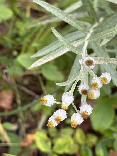
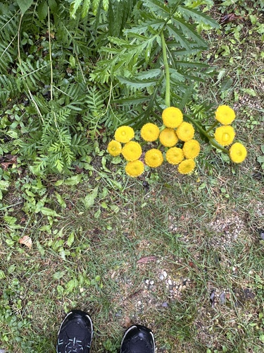
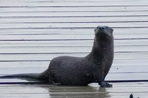
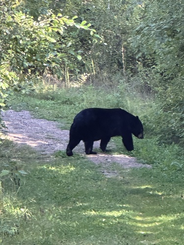
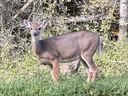
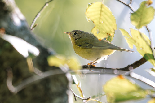
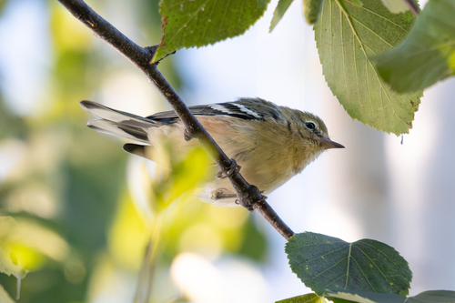
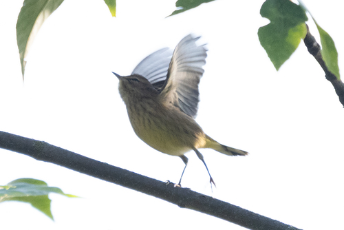
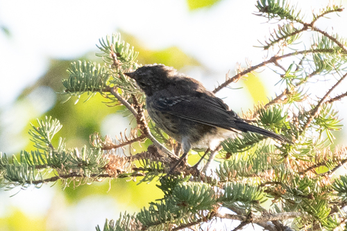
Research-grade observations from iNaturalist (within ~15 mi).
Events
Gallery
Sources
- • Wikipedia
- • iNaturalist
- • Open-Meteo / sunrise-sunset.org
- • Wikipedia Pageviews API
- • Open Library