Browse / United States / California / Vista
Vista
Californiacity

Vista
Total population
99,330
Median home value
$837,800
Bachelor's+
Median income
$105,671
Air quality index
Demographic figures from US Census Bureau · ACS 5-year estimates. Overview below cites Wikipedia and may reference a different year.
- Extreme Heat Warning · SevereExtreme Heat Warning issued October 1 at 1:12PM PDT until October 8 at 8:00PM PDT by NWS San Diego CA
Source: NOAA National Weather Service.
City facts
Facts from Wikidata (CC0).
Overview
Vista is a city in San Diego County, California, United States. It is a medium-sized city within the San Diego-Carlsbad metropolitan statistical area. As of the 2020 census, Vista had a population of 98,381. Current data estimates a 2023 population of 99,835.
Read more on WikipediaHistory & geography
History
The Vista area was originally inhabited by the Luiseño people, who established a village called Tovalum. Spain controlled the land from the late 18th century to the early 19th century and established various missions. Spanish presence declined by the 1830s with the independence of Mexico from Spain. The Mexican government began to grant ranchos to a variety of people. Three of these were granted in Vista as Rancho Guajome, Rancho Buena Vista, and Agua Hedionda Y los Manos. In the 1850s the ranchos began to fade due to changing political conditions and the scarcity of water. A growing number of settlers came to the area after California became a state in 1850 and began to create smaller agricultural holdings. One settler in the Vista area, John A. Frazier, applied to open the first post office and after several attempts to name the city (Frazier and Buena Vista were already taken), Frazier finally chose the name "Vista"; the post office was opened in 1882. In 1870, Bernard Delpy arrived from France to build what eventually became known as "Delpy Corners" at the intersection of today's East Vista Way and Foothill Drive. His nephew, Jules Jacques Delpy, joined him in 1879 and together they planted several hundred acres of grapes. In 1886, they built the first successful winery in the country. The winery was shut down by the Prohibition era. Inhibited by the lack of water, Vista grew slowly through the early 1910s to less than 1,000 people. With a 1923, however, the Vista Irrigation District had the necessary funding to construct a new water supply from Lake Henshaw. Agriculture began to flourish in the area, including citrus fruits, tomatoes, celery, and most prominently avocados. Vista became home to multiple avocado packing facilities, and by the late 1940s was…
Geography
According to the United States Census Bureau, the city has a total area of of land. Like much of the California coastal area, the landscape is marked by hills and valleys. In undeveloped areas, the natural vegetation types includes chaparral brushland, oak-sycamore woodland, riparian (stream) woodland, and oak-grass savanna. Vista has a semi-arid climate (Köppen: BSk) bordering on a Mediterranean climate (Csa). Extremes of temperature are uncommon. Frost is quite rare in winter, and snowfall is almost unknown; the last significant snowfall in Vista was in 1967. Most of the annual rainfall of falls between November and April. The mild weather led to the city's promotional motto "America's Climatic Wonderland", which was in use for many years.
Excerpted from the corresponding Wikipedia article (CC BY-SA).
Demographics & economy
Race & ethnicity
Source: US Census Bureau — American Community Survey, 5-year estimates.
Geography
Coordinates & boundaries from the US Census TIGER/Line shapefiles.
Climate
Current forecast
Forecast for Vista, CA from NOAA NWS API.
Air quality
Current readings from Open-Meteo Air Quality API (Copernicus CAMS European reanalysis).
Industrial & pollution facilities
Natural hazard risk
Health (adults)
Age-adjusted prevalence estimates from CDC PLACES (latest release).
Walkability
Amenities nearby
Wildlife & biodiversity
Most-observed species
- House FinchHaemorhous mexicanus (P.L.Statius Müller, 1776) · Aves38,593
- American CrowCorvus brachyrhynchos C.L.Brehm, 1822 · Aves35,326
- Anna's HummingbirdCalypte anna (R.Lesson, 1829) · Aves30,819
- Mourning DoveZenaida macroura (Linnaeus, 1758) · Aves29,423
- Song SparrowMelospiza melodia (A.Wilson, 1810) · Aves29,376
- Black PhoebeSayornis nigricans (Swainson, 1827) · Aves29,301
- California TowheeMelozone crissalis (Vigors, 1839) · Aves28,418
- Lesser GoldfinchSpinus psaltria (Say, 1822) · Aves27,219
Citizen-science & research observations from the Global Biodiversity Information Facility (GBIF).
Schools
Largest nearby schools
- San Marcos HighHigh · San Marcos · 3,380 students · 27:1 ratio
- Mission Hills HighHigh · San Marcos · 2,893 students · 27:1 ratio
- El Camino HighHigh · Oceanside · 2,637 students · 24.4:1 ratio
- Carlsbad HighHigh · Carlsbad · 2,290 students · 23.6:1 ratio
- Vista HighHigh · Vista · 2,030 students · 19.3:1 ratio
- Rancho Buena Vista HighHigh · Vista · 1,959 students · 21.1:1 ratio
- Oceanside HighHigh · Oceanside · 1,907 students · 22.4:1 ratio
- Escondido HighHigh · Escondido · 1,898 students · 19.4:1 ratio
Public K–12 schools within ~10 mi from Urban Institute Education Data Portal (NCES Common Core of Data, 2022).
Earthquake history
Most recent
- M 2.77 — 2026-10-153 km NNW of San Jacinto, CA
- M 2.71 — 2026-10-114 km E of San Jacinto, CA
- M 2.51 — 2026-10-0531 km SW of Dana Point, CA
- M 2.81 — 2026-10-0532 km SW of Dana Point, CA
- M 3.48 — 2026-10-0531 km SW of Dana Point, CA
- M 3.08 — 2026-10-0120 km ESE of Anza, CA
Events from the USGS Earthquake Catalog (global) (FDSN Event Web Service).
Photos
Sights & places nearby
Notable people from here


People born within ~10 km, from Wikidata (CC0). Click any name for their Wikipedia article.
Nearby places in California
- Bonsall6.5 mi away
- Hidden Meadows7.3 mi away
- Elfin Forest8.3 mi away
- Harmony Grove8.5 mi away · pop. 2,585
- Del Dios10.5 mi away
- Fallbrook12.8 mi away · pop. 32,112
- Fairbanks Ranch14 mi away
- Del Mar15.6 mi away
- Eucalyptus Hills27.1 mi away
- Lakeside30.1 mi away
- Bostonia30.8 mi away
- Dana Point32.8 mi away · pop. 33,107
Geography & sun
Elevation, sunrise/sunset and daylight from Open-Meteo. Solar climatology from NASA POWER.
Nearby airports
Public attention
Pageview totals from the Wikimedia Pageviews API.
Books about Vista

![[Specific plans, city of Vista, California]](https://covers.openlibrary.org/b/id/15180961-M.jpg)

Search results from Open Library.
Recent natural events nearby
- Wildfire RIDGE, Los Angeles, CaliforniaWildfires · 2026-08-07 · 143 mi
- Wildfire BUZZARD, Kern, CaliforniaWildfires · 2026-08-05 · 152 mi
- Wildfire PLAINS, San Luis Obispo, CaliforniaWildfires · 2026-08-12 · 220 mi
Wildfires, storms and other events from NASA EONET (last 12 months, within 250 mi).
Ground air-quality sensors
Recently spotted species
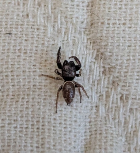
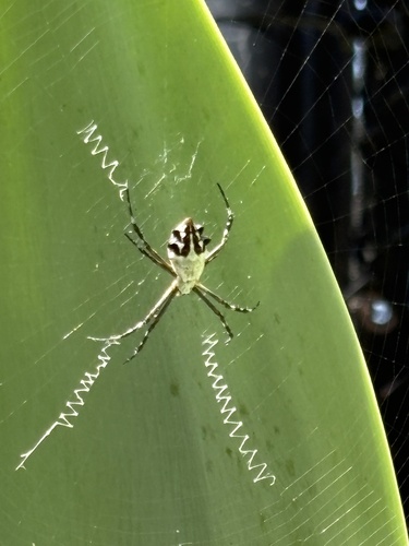
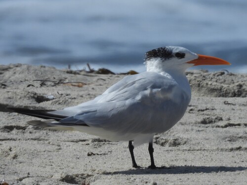
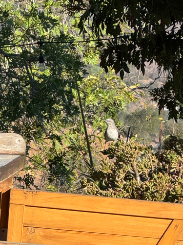
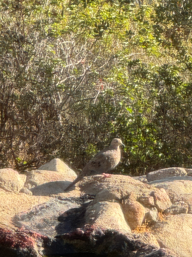
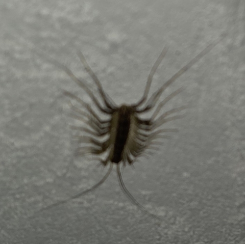
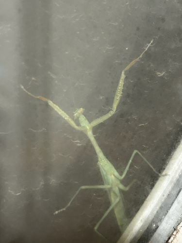
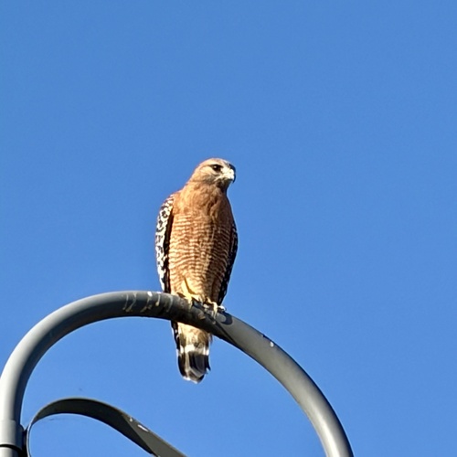
Research-grade observations from iNaturalist (within ~15 mi).
Nearest stream gauge
Events
Gallery
Sources
- • Wikipedia
- • US Census Bureau (ACS 5-year estimates)
- • NOAA National Weather Service
- • Wikidata
- • Open-Meteo Air Quality (CAMS)
- • USGS Earthquake Catalog (global feed)
- • NCES via Urban Institute Education Data Portal
- • GBIF (Global Biodiversity Information Facility)
- • iNaturalist
- • CDC PLACES
- • Open-Meteo / sunrise-sunset.org
- • Wikipedia Pageviews API
- • Open Library
- • NASA EONET